Hey there, internet! This blog has been slumbering for years but with the advent of our new internet connectivity solution called Starlink I finally have something to say!
I thought I would create a running list of locations where we’ve used Starlink and what our experience was like so others may benefit from our journeys. Enjoy!
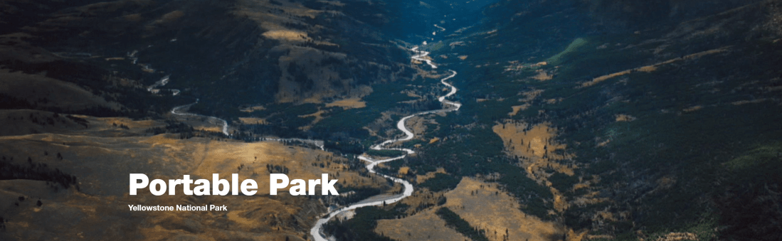
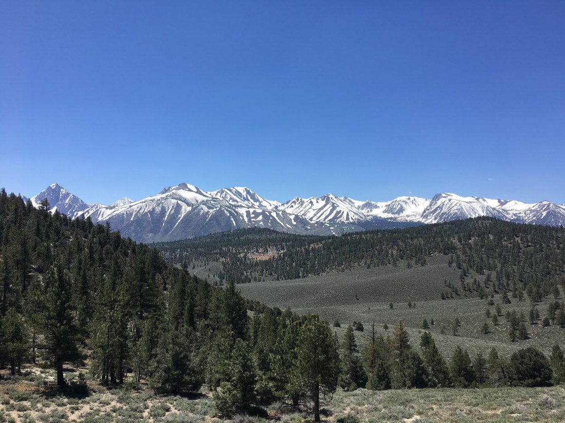
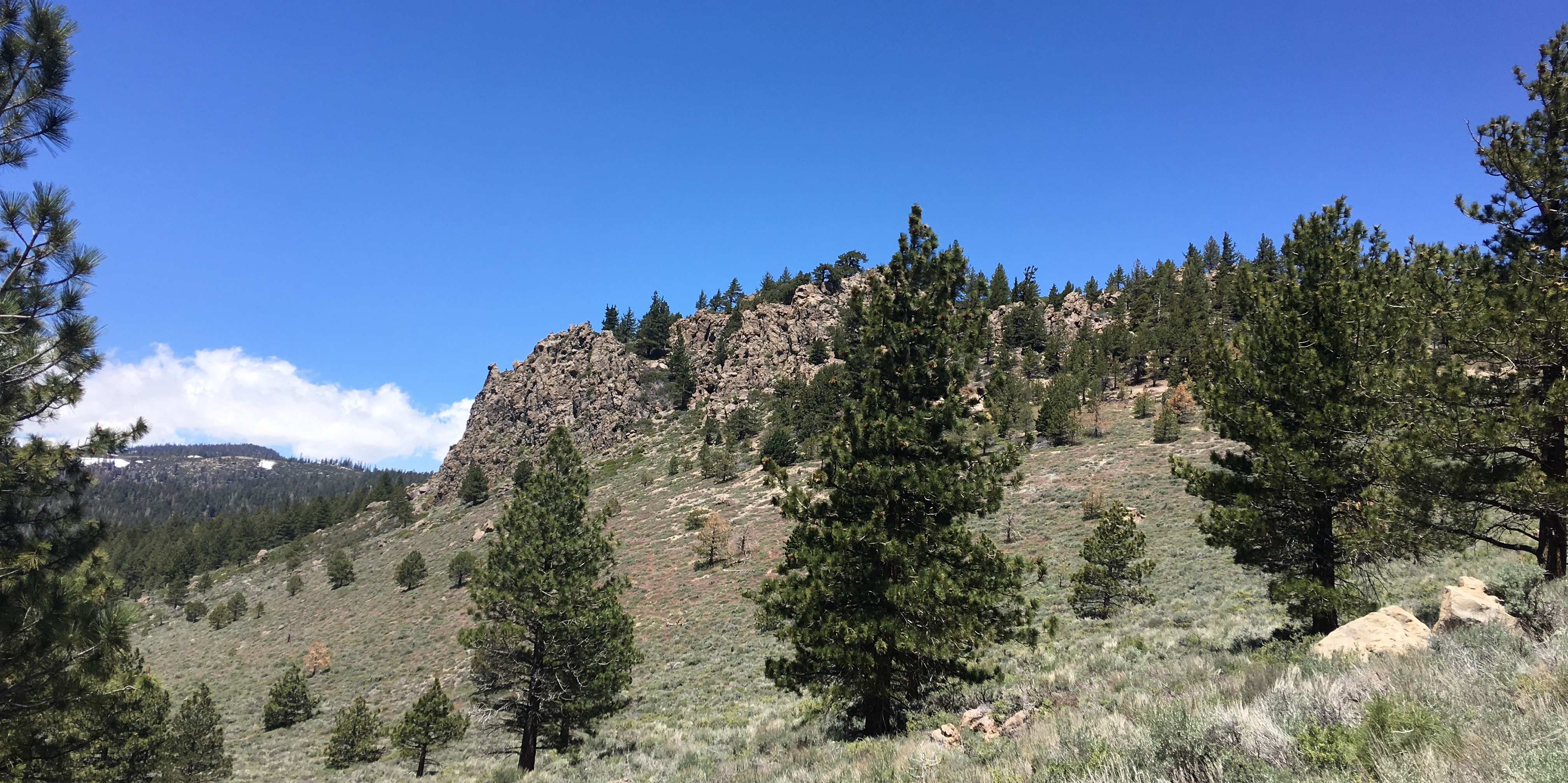
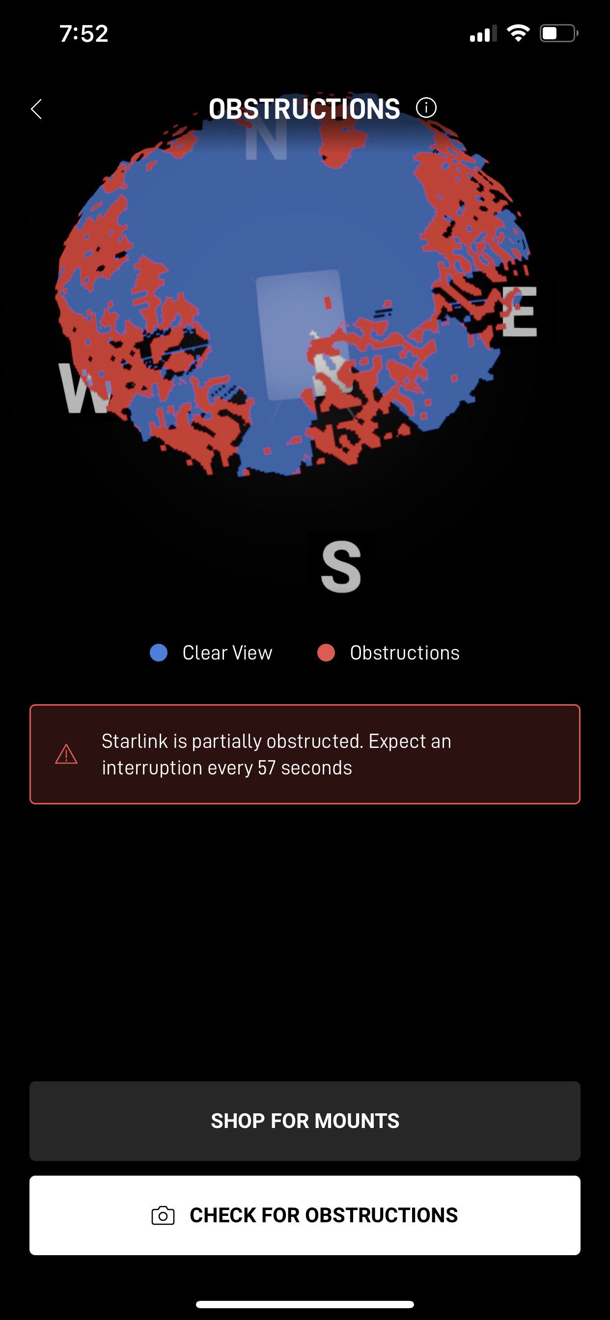
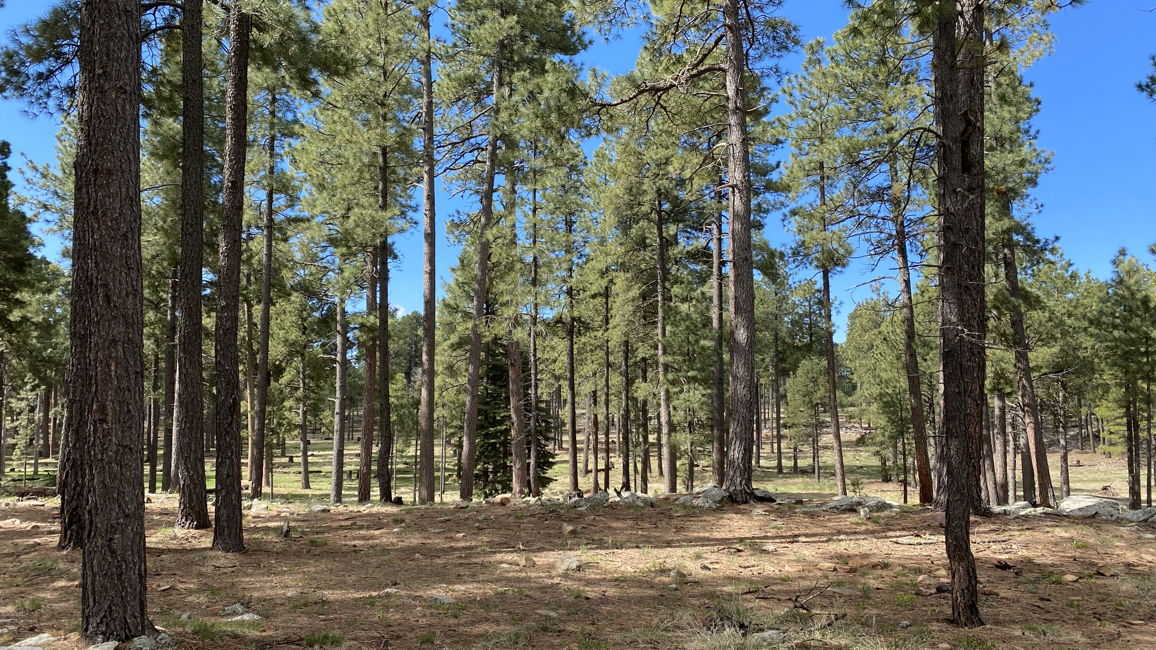
Mammoth Lakes, California (aka Starlink-apocalypse)
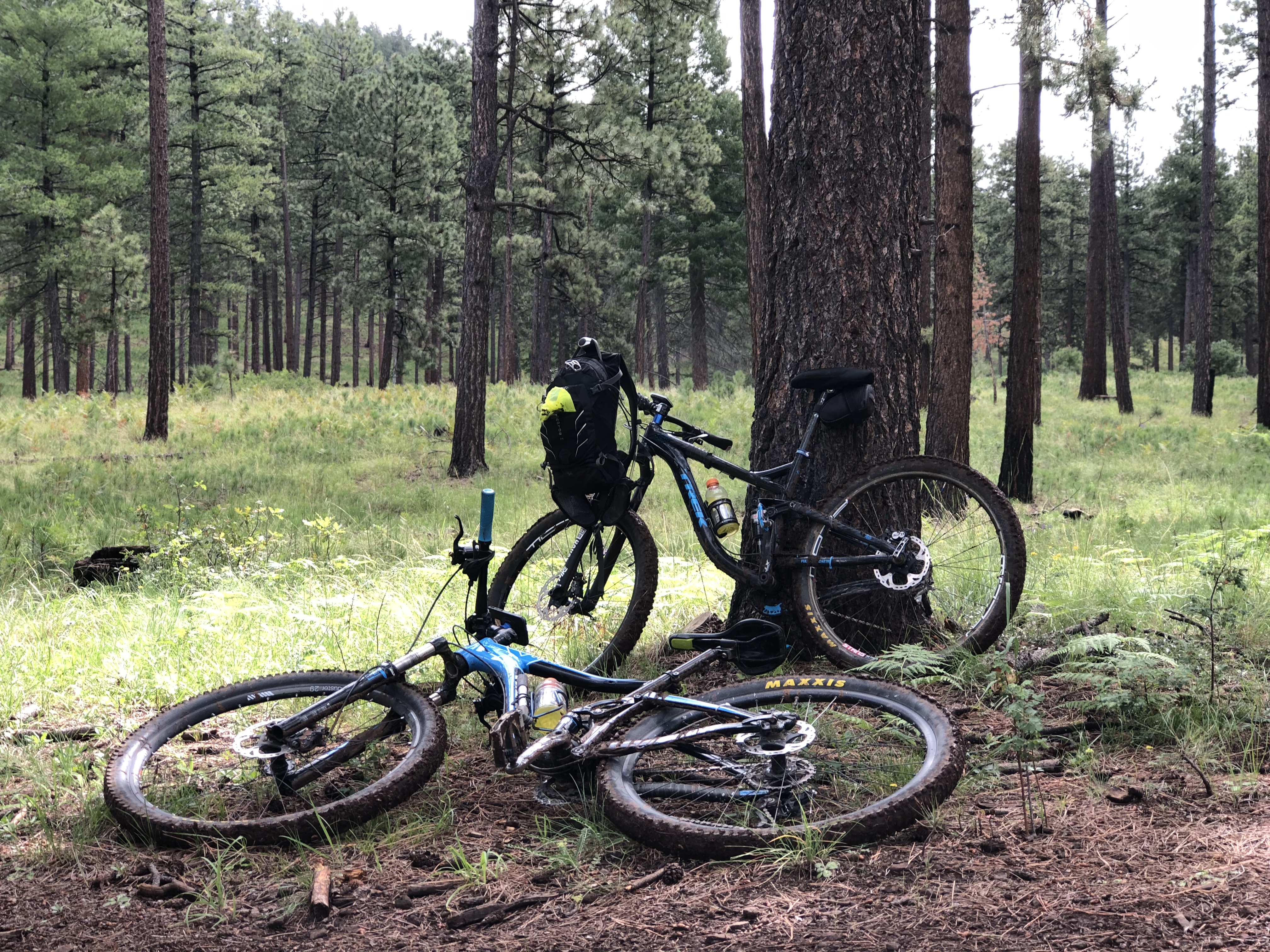
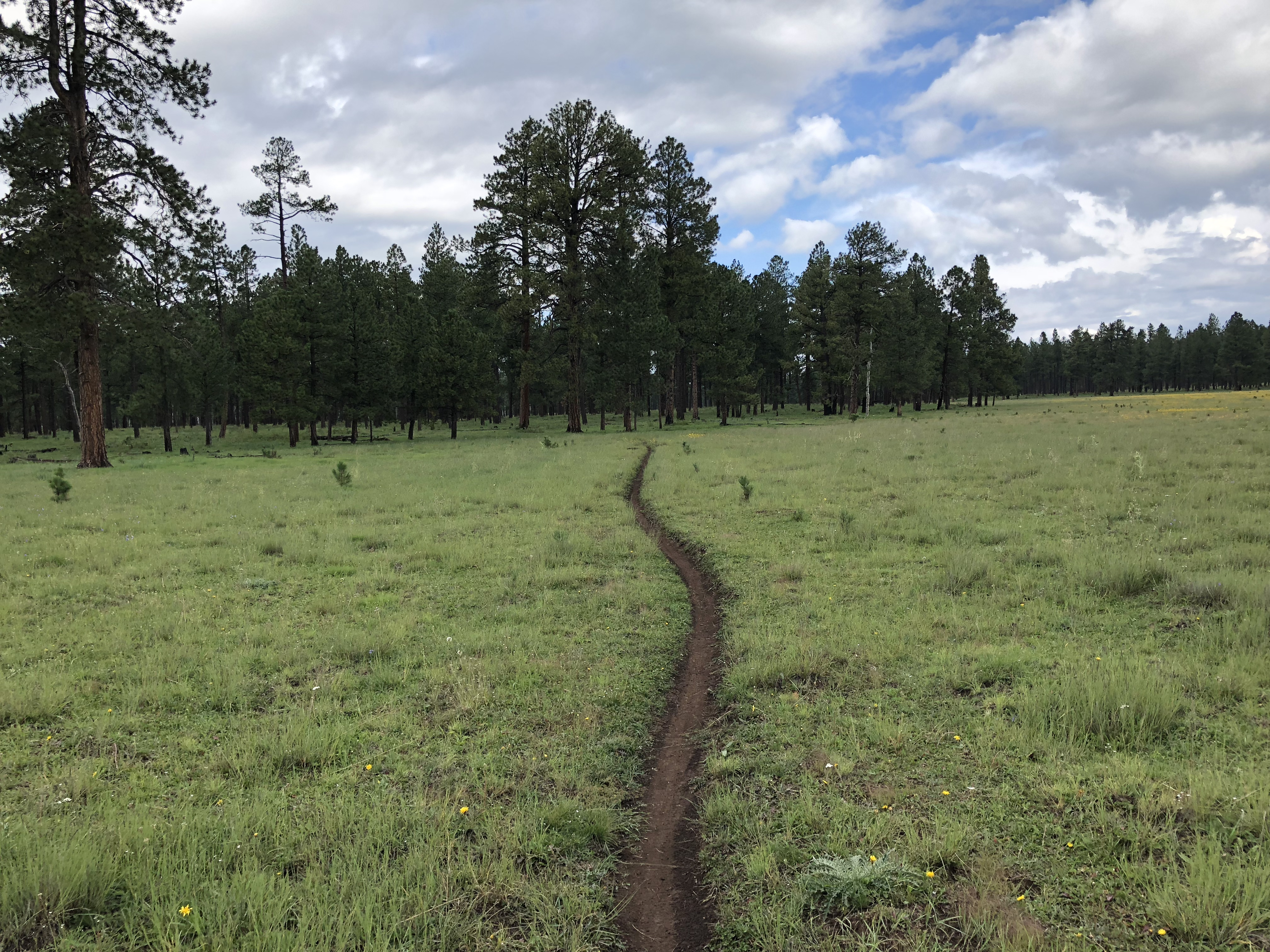
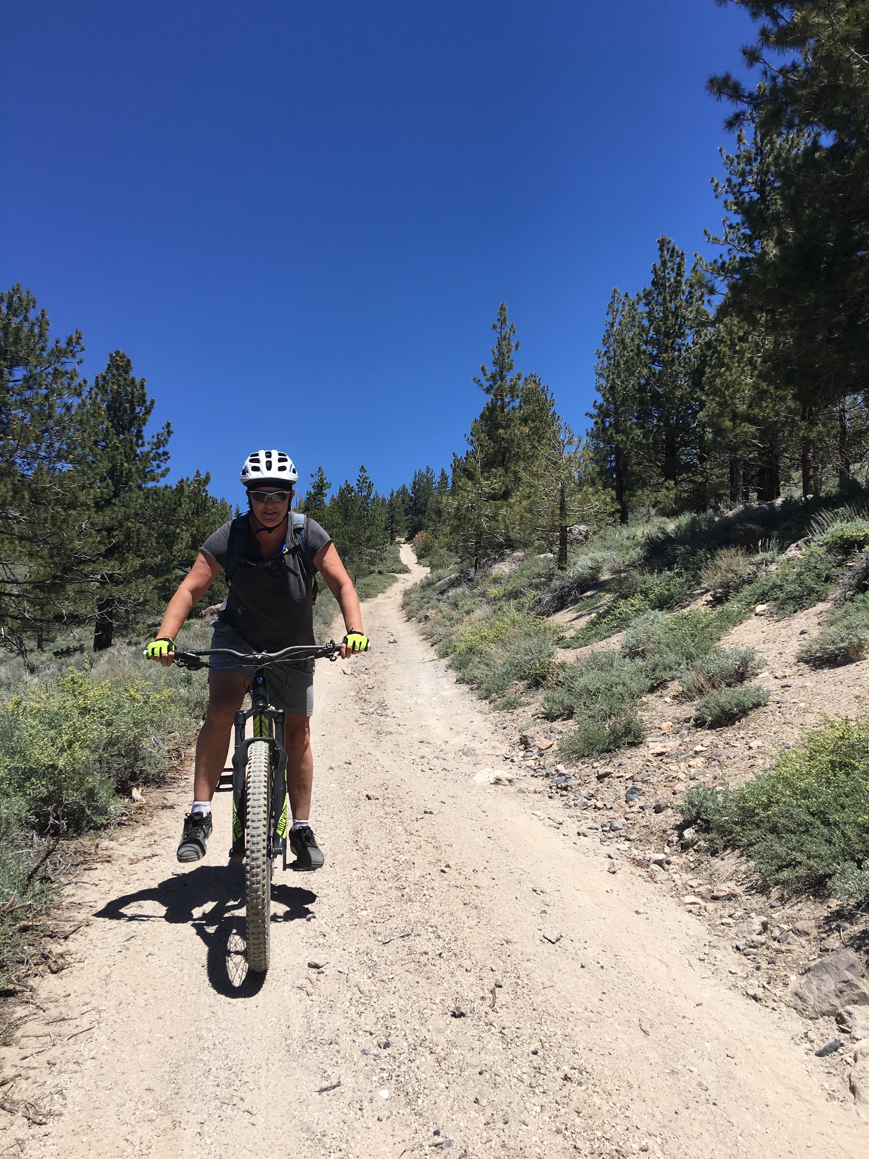
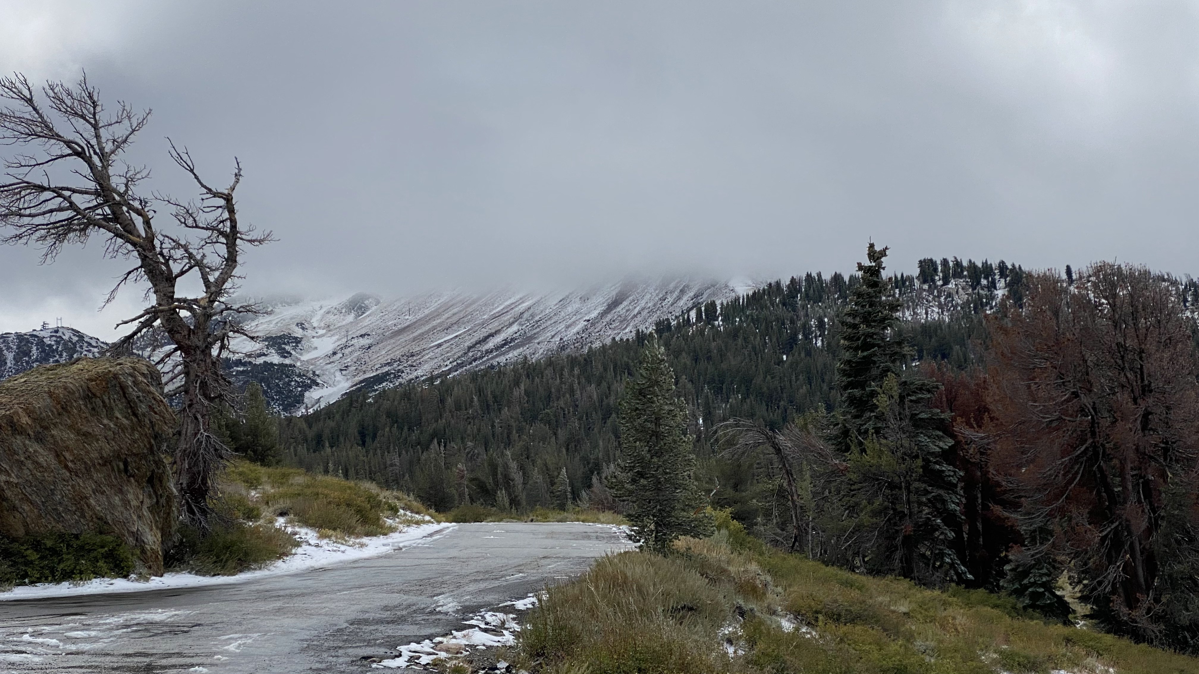
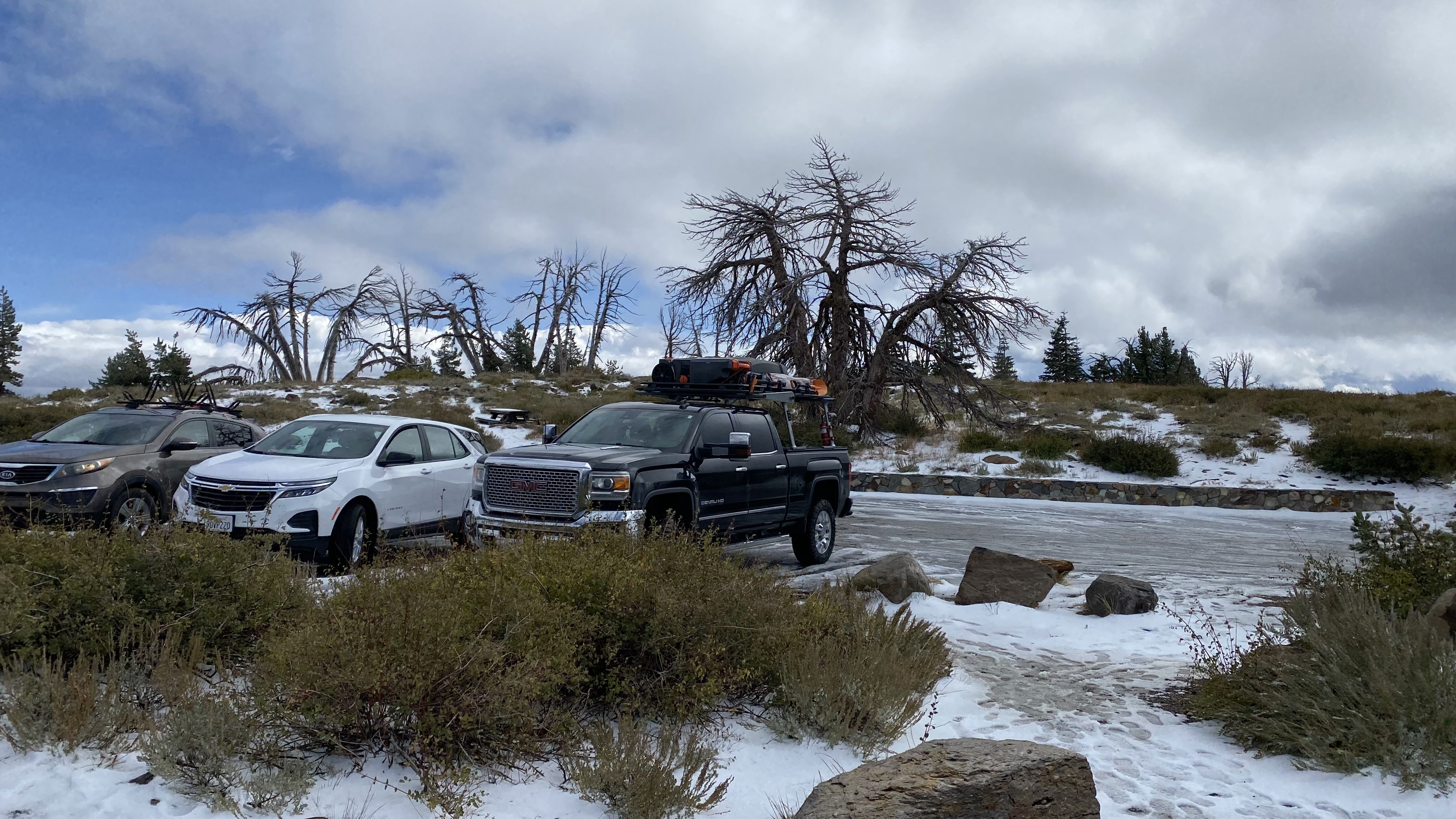
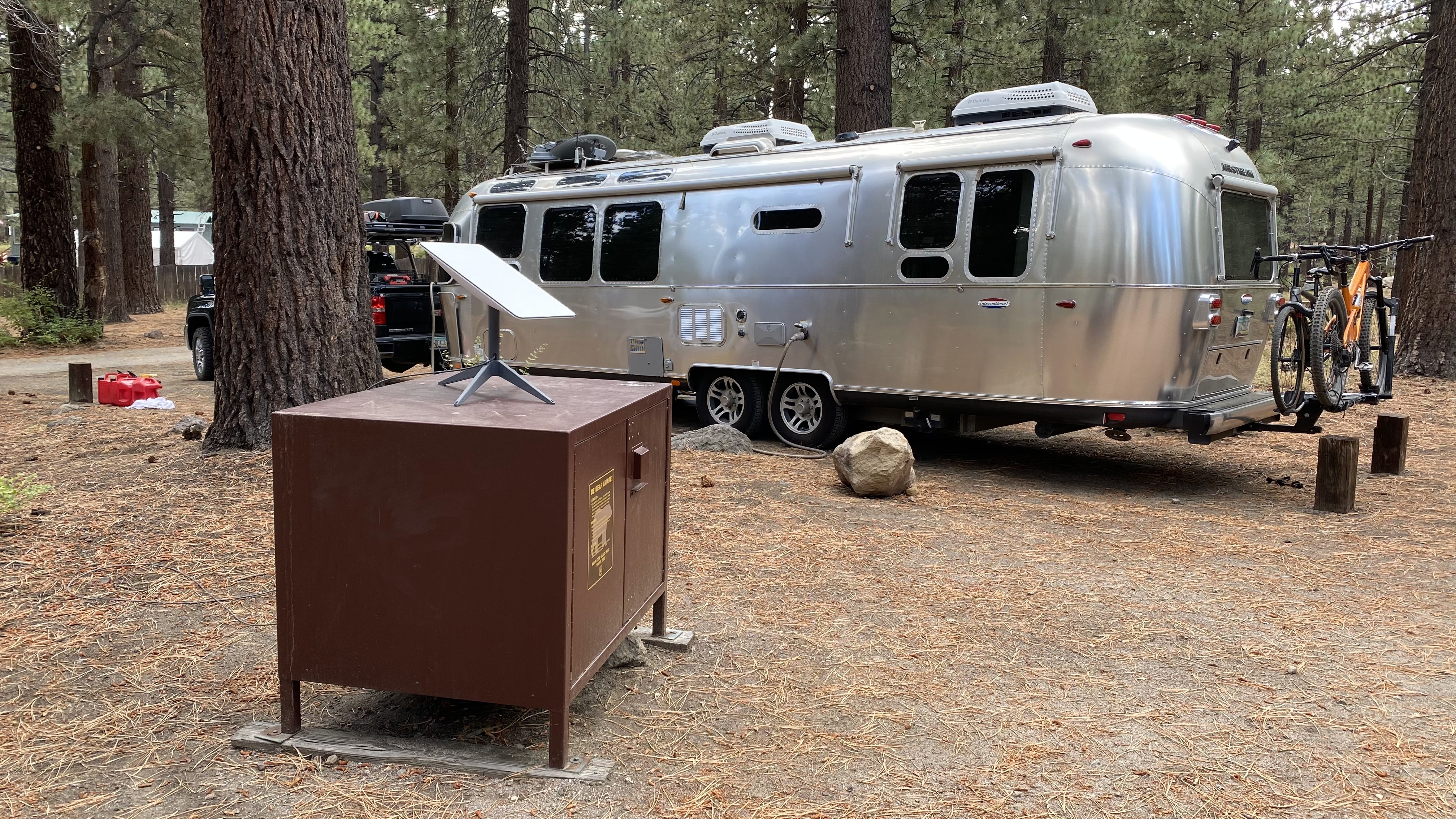
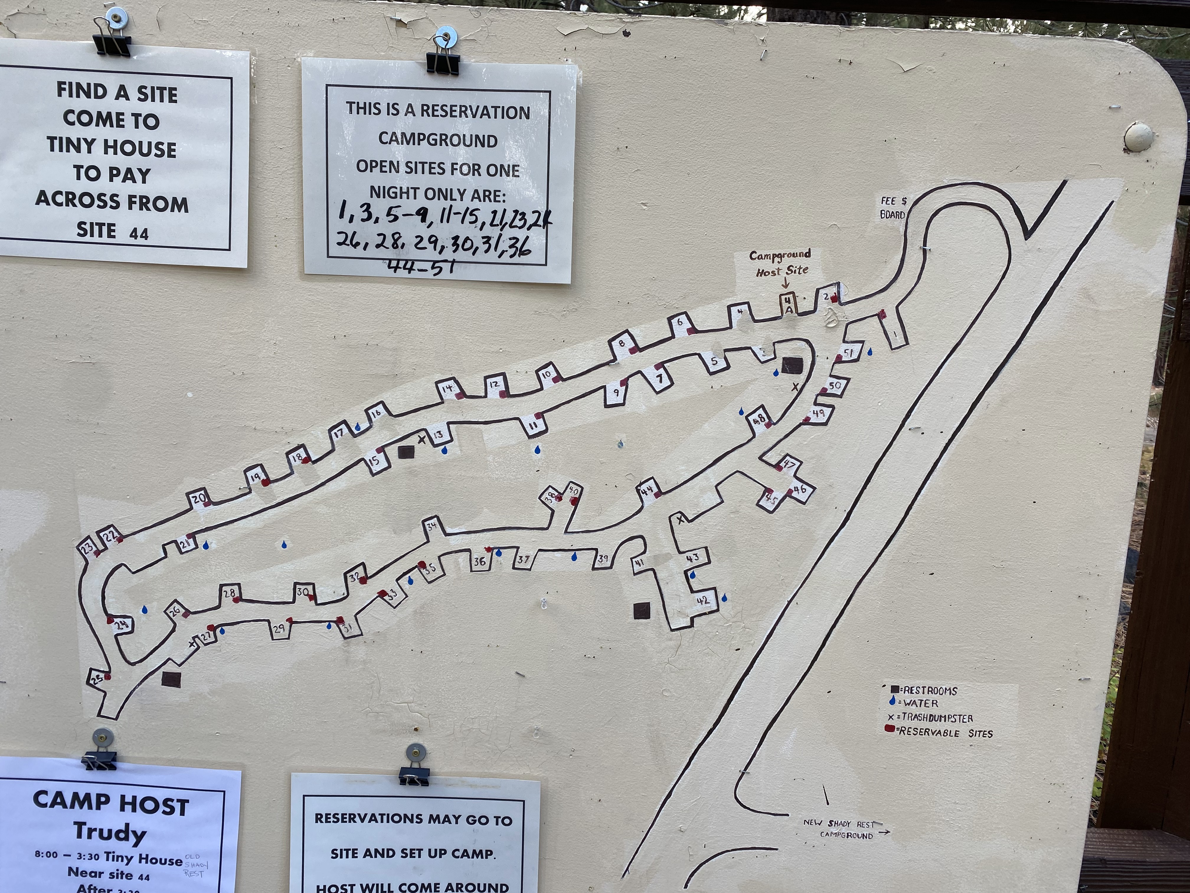
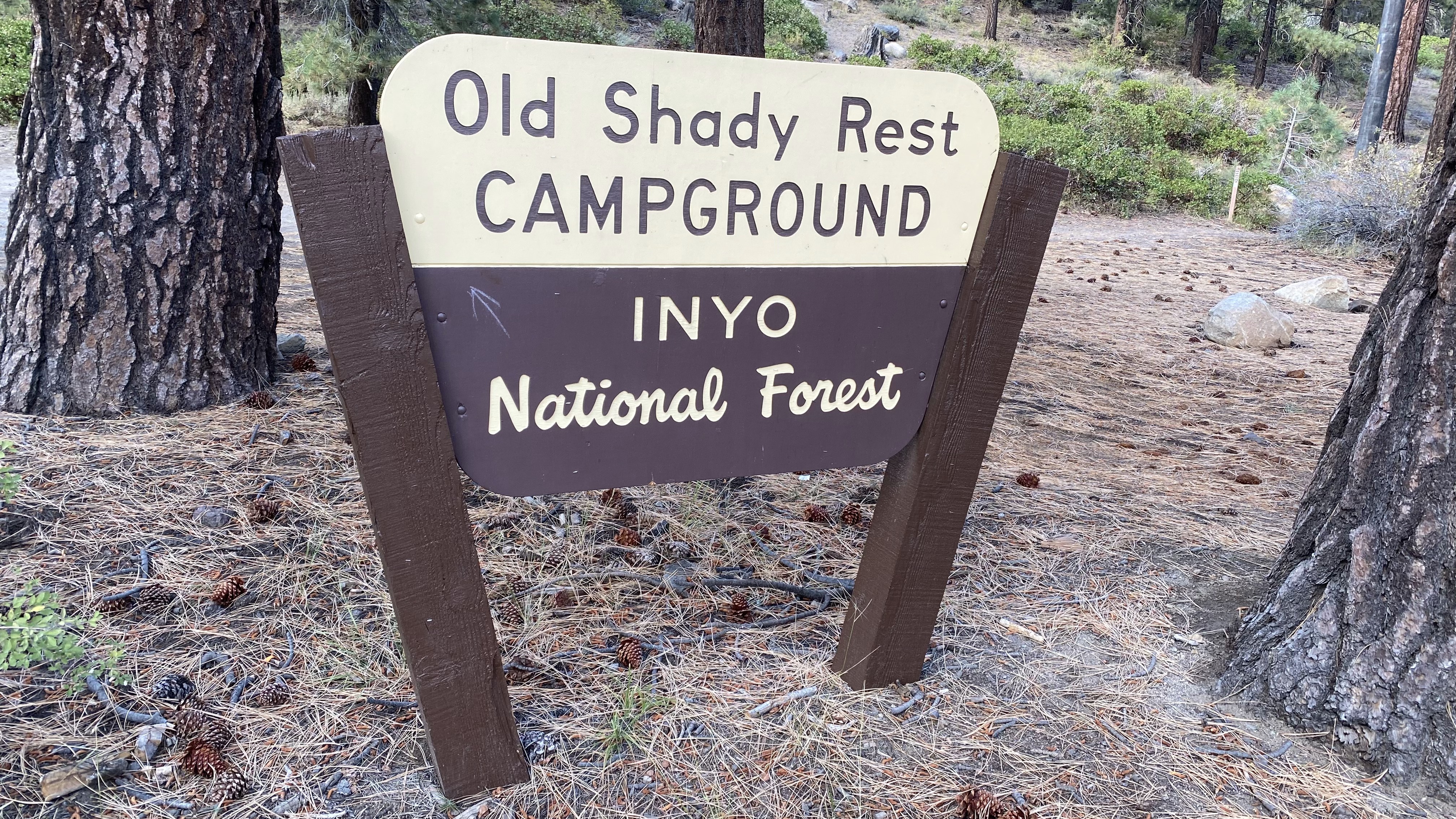
Our final destination of the year was Old Shady Rest Campground in Mammoth Lakes, CA. Mammoth lakes is one of our favorite places owing to its versatility. There’s an abundance of mountain biking, hikes and many scenic drives. There’s just enough civilization to keep us in good restaurants, plus well apportioned grocery shopping, pharmacy, and an above average bike shop.
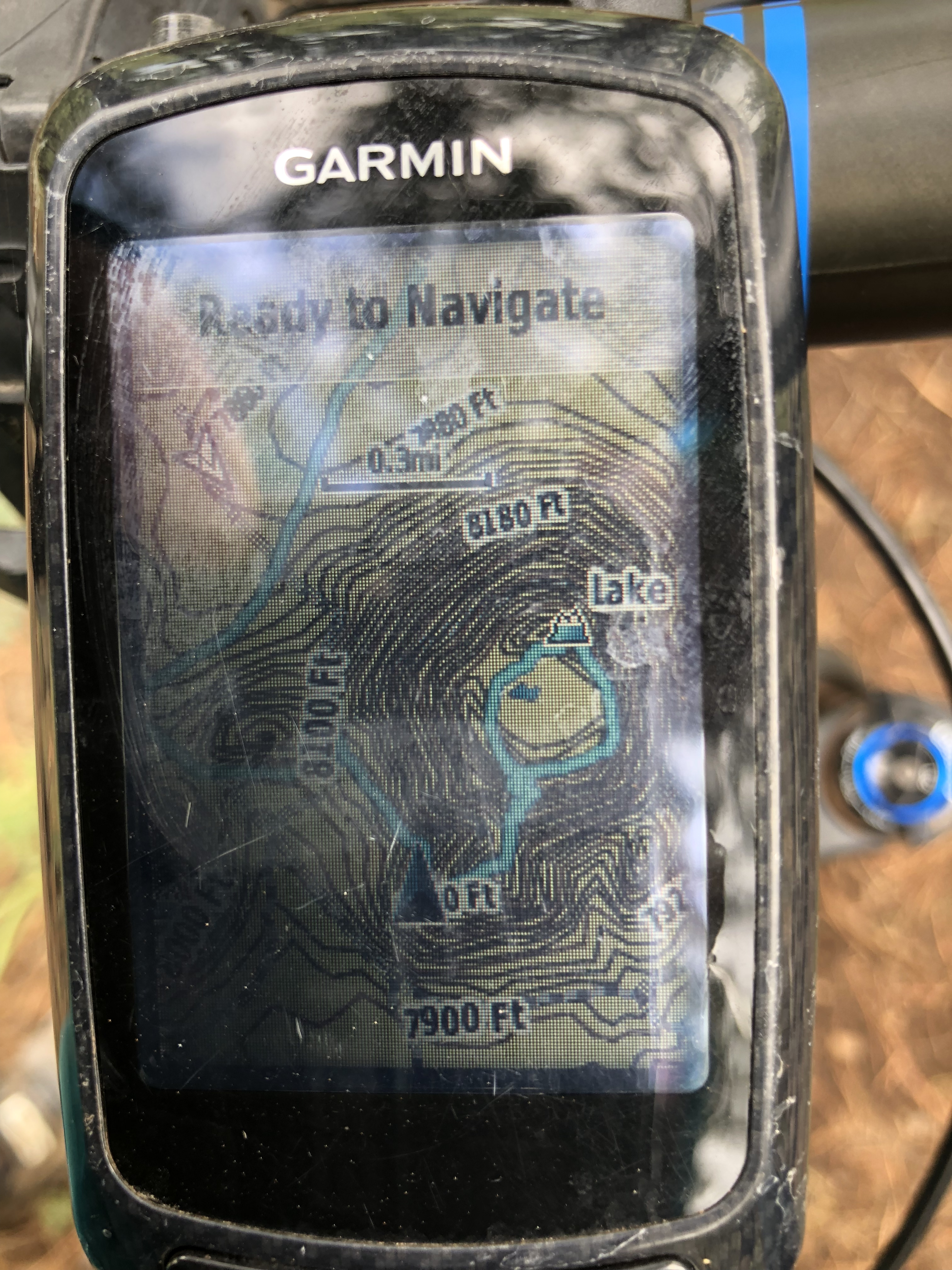
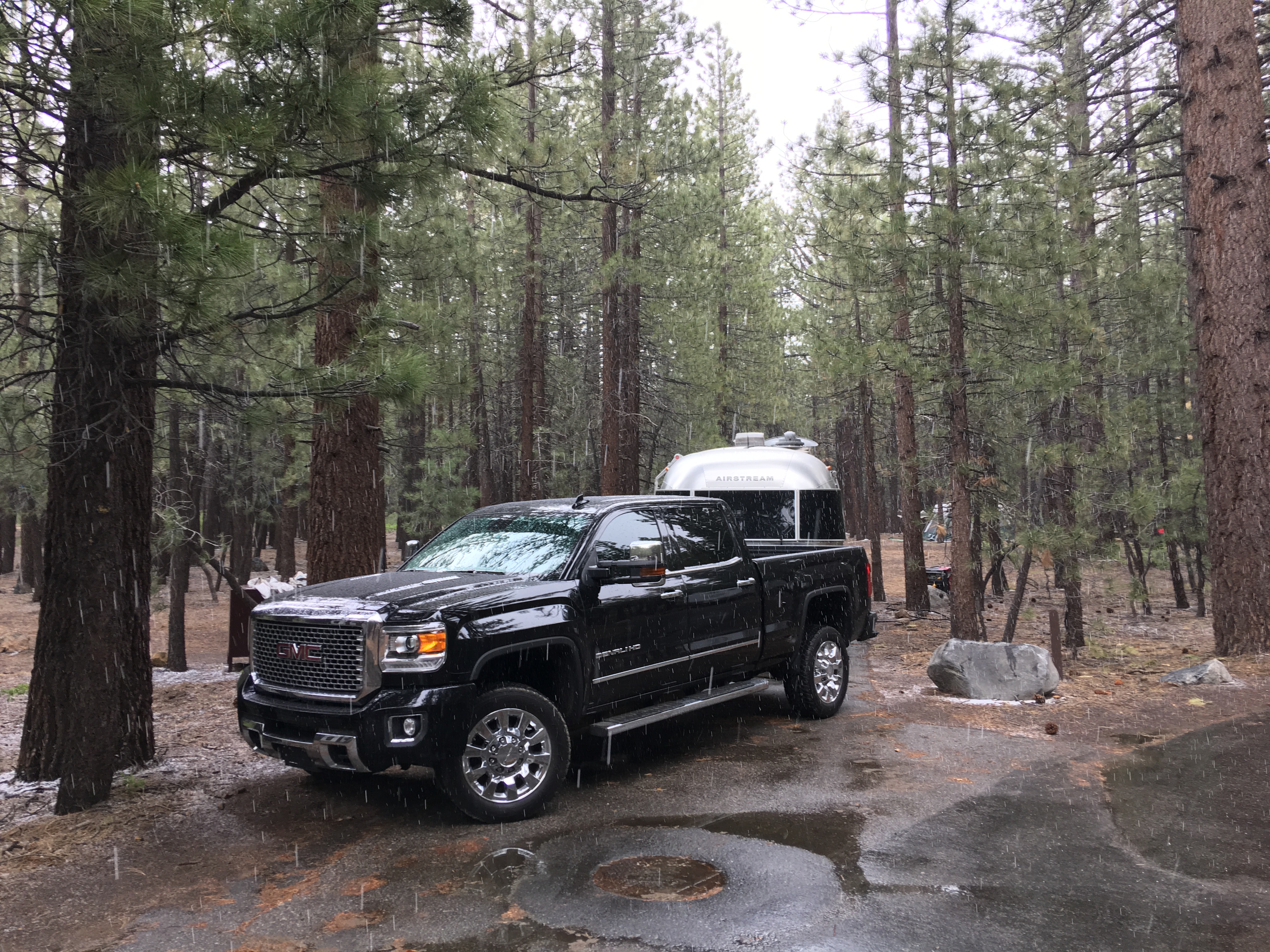
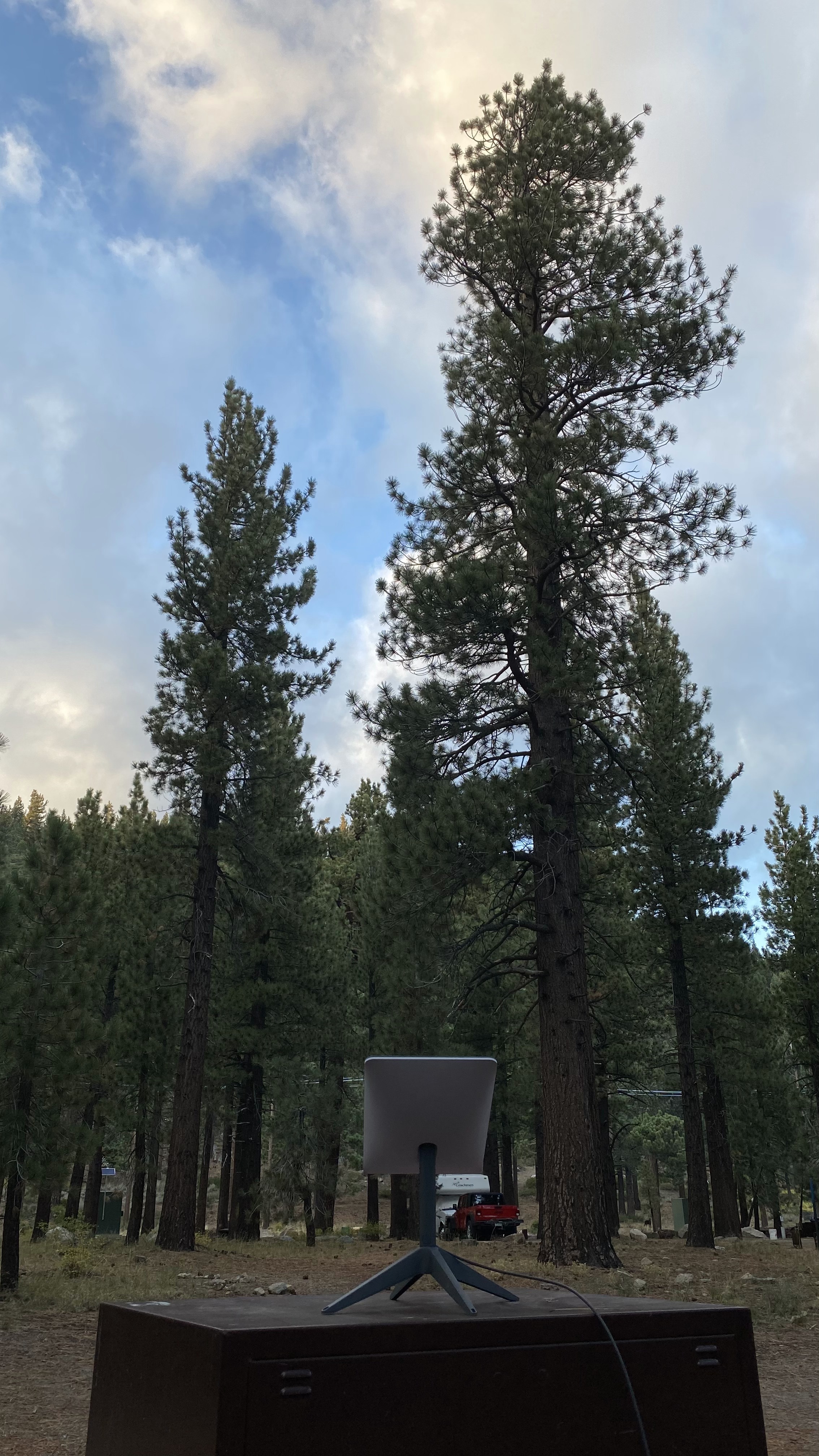
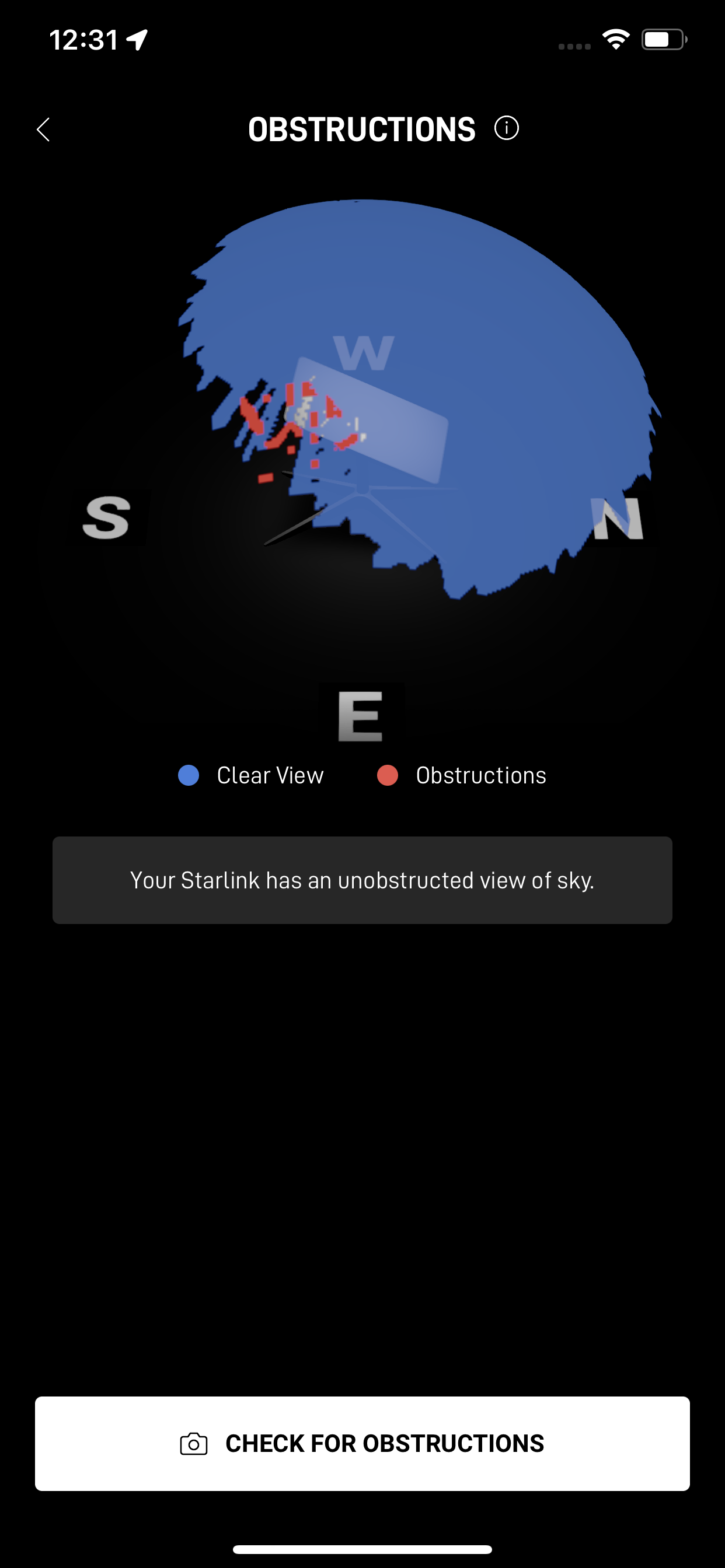
I knew when we came to Old Shady Rest Campground that Starlink would have trouble. We’ve been here before and the campground is awash in old growth pine many stories tall. Still, I thought it would be interesting to set up the rig anyway and see what happened. To this end, I can report two things.
First, when Starlink is blocked it’s really a horrific experience. The app is unreliable and errors out in unexpected ways that don’t always make it clear the dish is simply obstructed. For example, the app was having so much trouble on our departure day I wasn’t even sure I’d be able to get the dish stowed.
Second, I was surprised how well Starlink did perform. The app notified us there would be interruptions roughly once a minute and that’s about what we saw. Incredibly though, several streaming apps including Netflix and YouTube were able to ride over these interruptions fairly well. Max and Discovery+ on the other hand melted down into goo.


A truism I’ve discovered about RV life is things go wrong. That’s flippant, but usually these things start out as irritants. Over the course of the season they can escalate but I typically hold these issues in reserve and address them over the winter break when we’re back home. For example our generator developed a bad fuel pump in Silverton but we were able to carefully control how hard we worked her and she got us through 8 more weeks of travel.
This year though we had an event that broke the rules. It was bad immediately, and then went from bad to worse in the blink of an eye. The event was this: After about two weeks in Mammoth I went to exit the Airstream in the wee hours of the morning and the Airstream door handle broke off in my hand.
Realizing we were properly trapped I tried to disassemble the lock but two of the screws were eclipsed by the screen door. My spouse suggested calling non-emergency police, which I should have done, but I thought I could solve this on my own. I made my way to the rear of the Airstream and opened the emergency window.
The window would only open about 12″ because it was hitting our bikes, which were on the bike rack. I tried to shimmy through the window anyway and it shattered in a powerful explosion that blew glass as far as six feet away from the trailer outside and all over the bed inside. In a crazy twist of fate our brand new Shark cordless vacuum was dead and would not charge. I borrowed another hand vacuum from a neighbor but that unit was too weak to pick up the glass bits. The campground hosts didn’t have a vacuum either so with time hemorrhaging away, we decided to drive home.
Sighing in disgust I taped up the back window, said my thanks that at least the door would stay closed and drove home. I’ve mentioned I hate death marches and that drive from Mammoth Lakes to Phoenix was a death march. It took us over 12 hours, much of it in the dark.
Finally, if you are wondering I called Airstream corporate to tell them what had happened. I felt like the handle breaking off was a shocking failure that solidly entered the territory of safety. I was sure they would be interested in this story but they gave me, nearly as close as possible, the middle finger. They said that the door handle is, get this, not to be used for closing the door as it can lead to this very fatigue. They said if my trailer was under warrantee they would have declined the claim under the category of misuse.
Are we clear on this? Airstream says you are not to use the door handle to close…the door. Below is a picture of the inner lock working I took at the service center. They explained that the entire door, which must weigh at least 70 pound or more, leverages on that tiny nub in the bottom left corner.
So, Airstream, how is one supposed to close the door on their trailer? Surely not using the screen door, which latches to the outer door with a piece of plastic not much thicker than a plastic spoon?

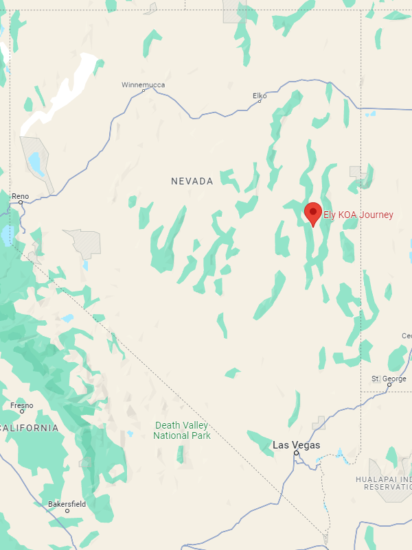
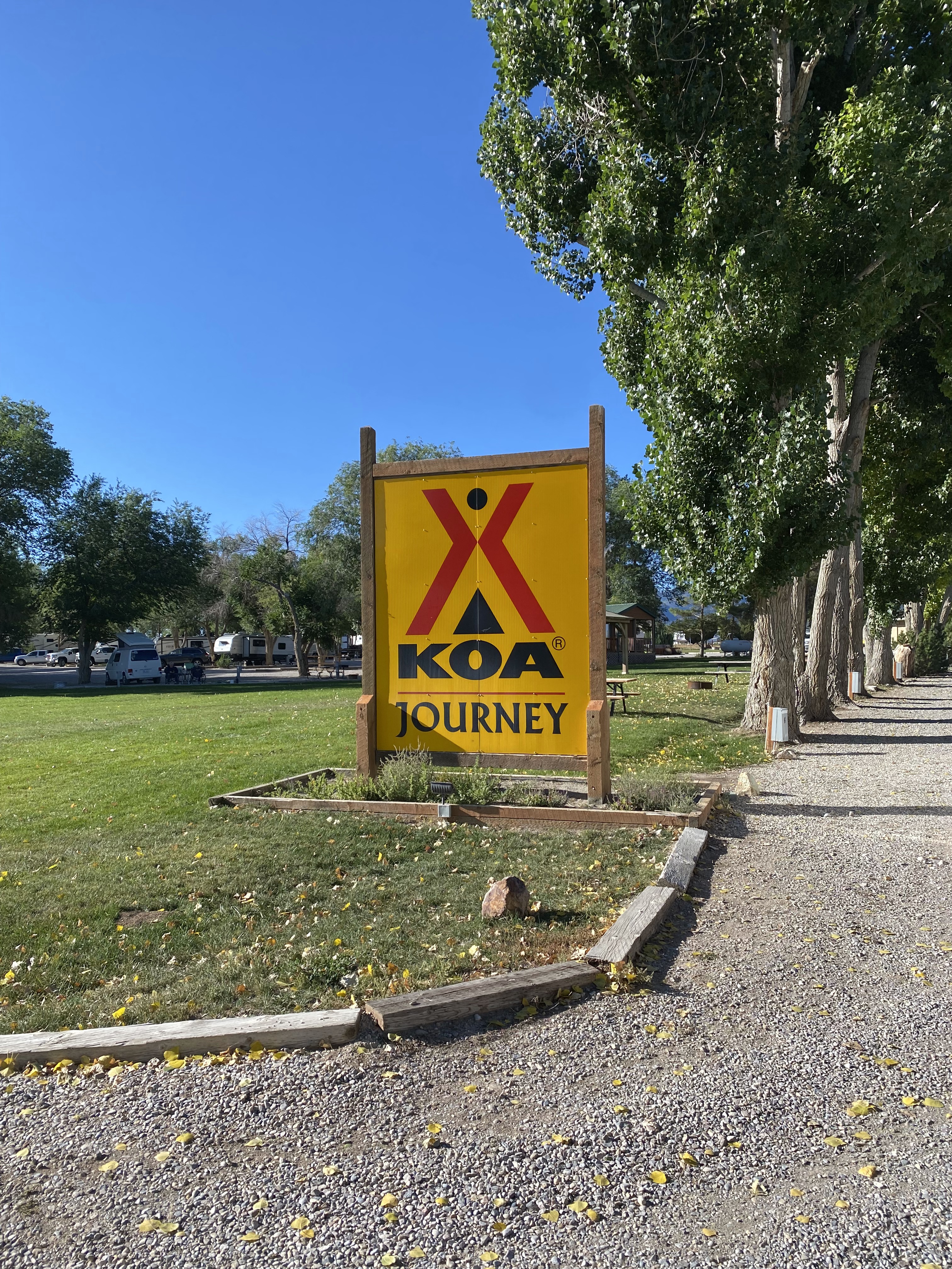
Ely KOA Journey, Ely Nevada
Ely? Really?
Yes, really!
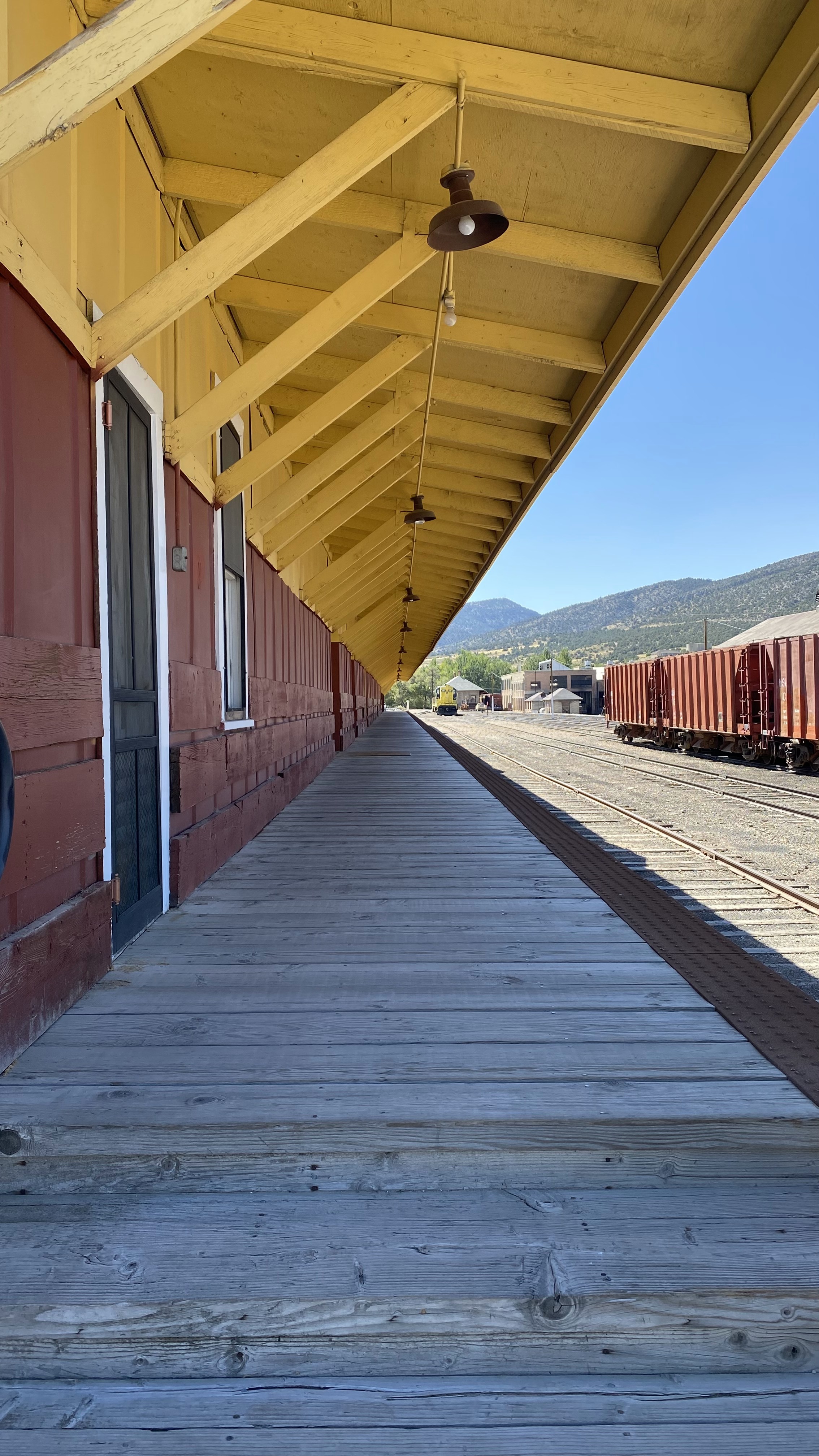
As the crow flies Ely, pronounced “Eeee leee”, was directly between Silverton, CO and our final destination of the year, Mammoth Lakes, CA. It made a near perfect stop-over point since I didn’t want to drive more than 6 hours a day and Ely has grocery stores, fuel, a ton of mountain biking, Great Basin National Park, superb Mexican restaurants and most importantly, trains!
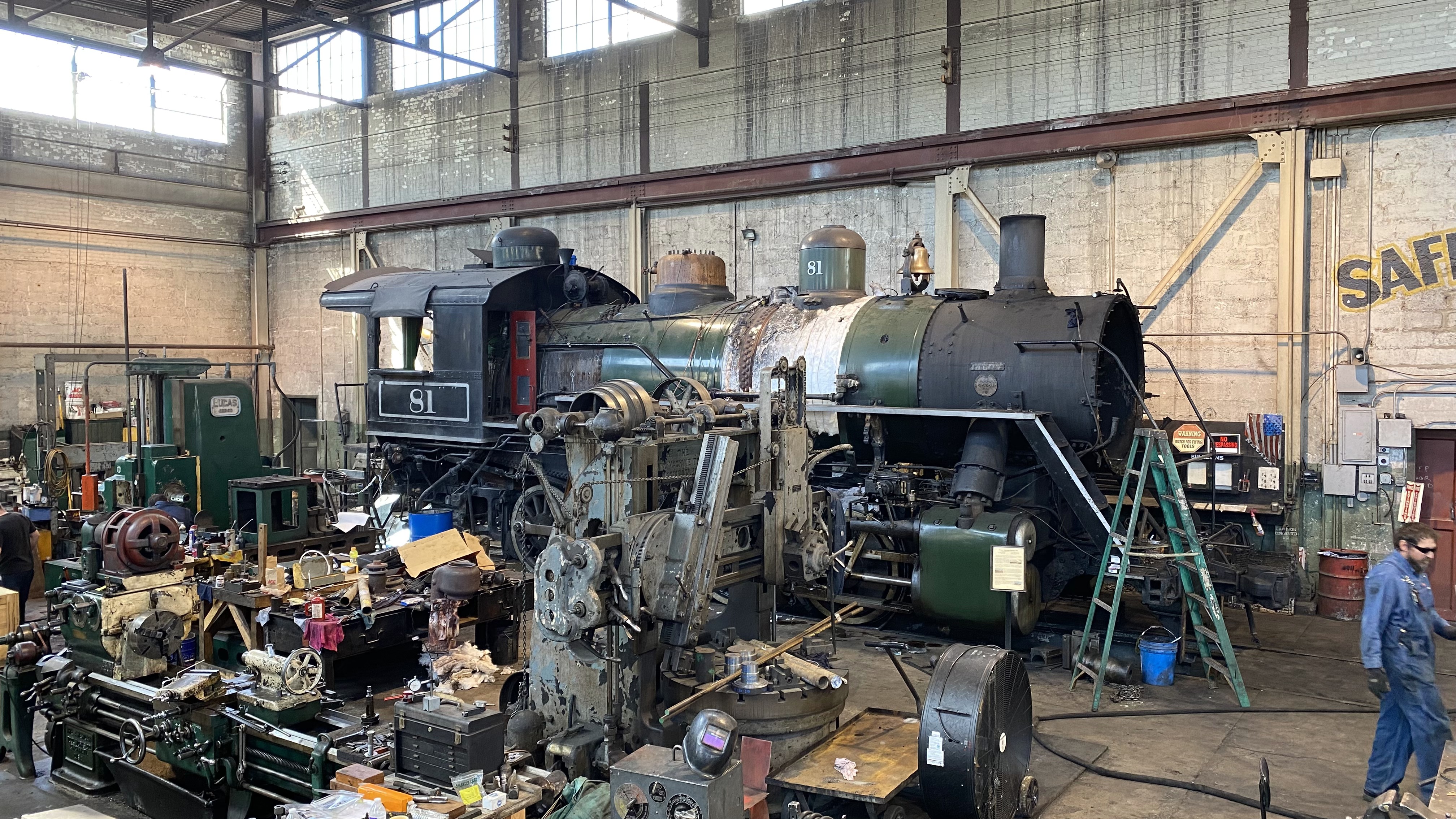
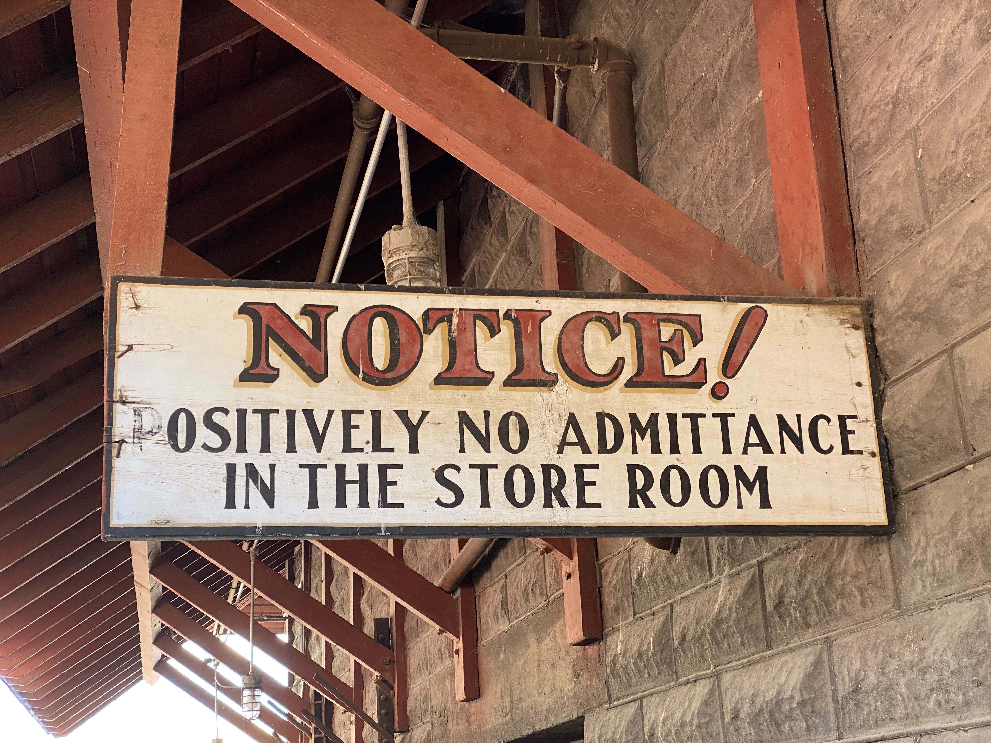
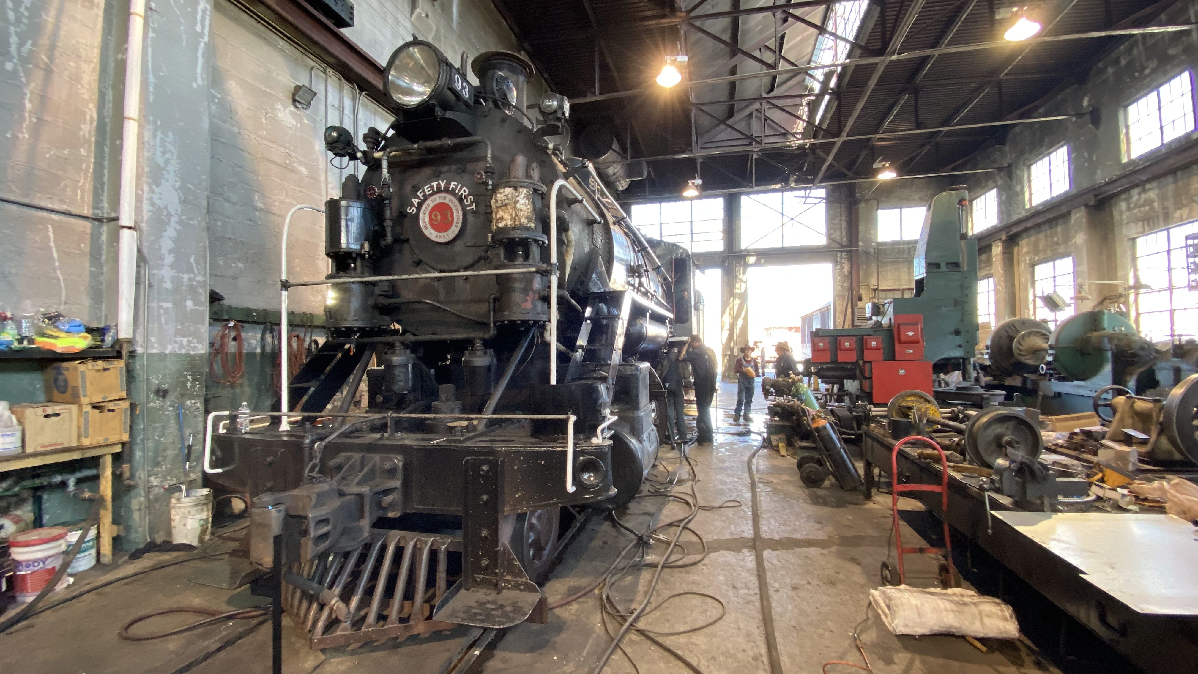
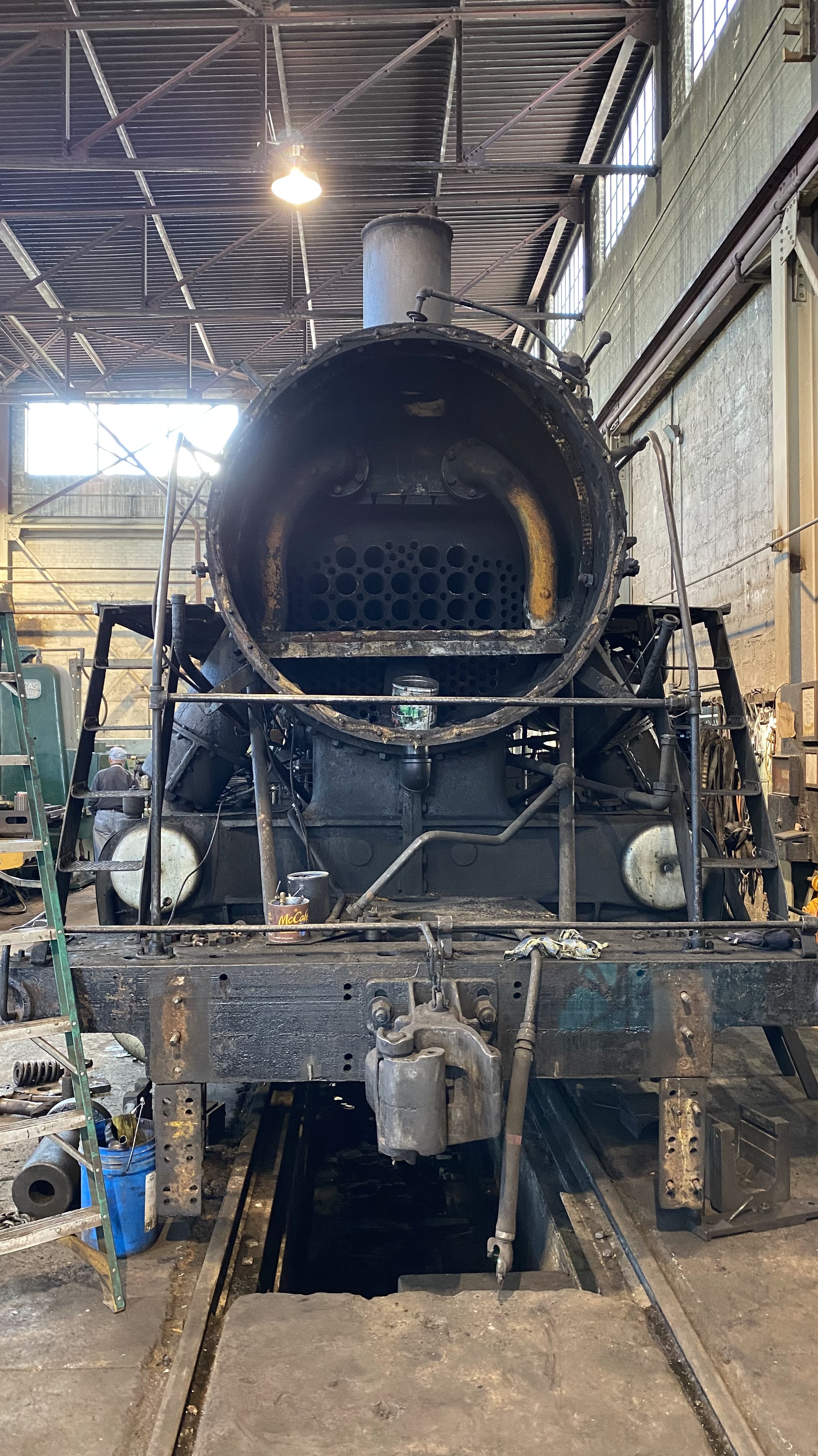
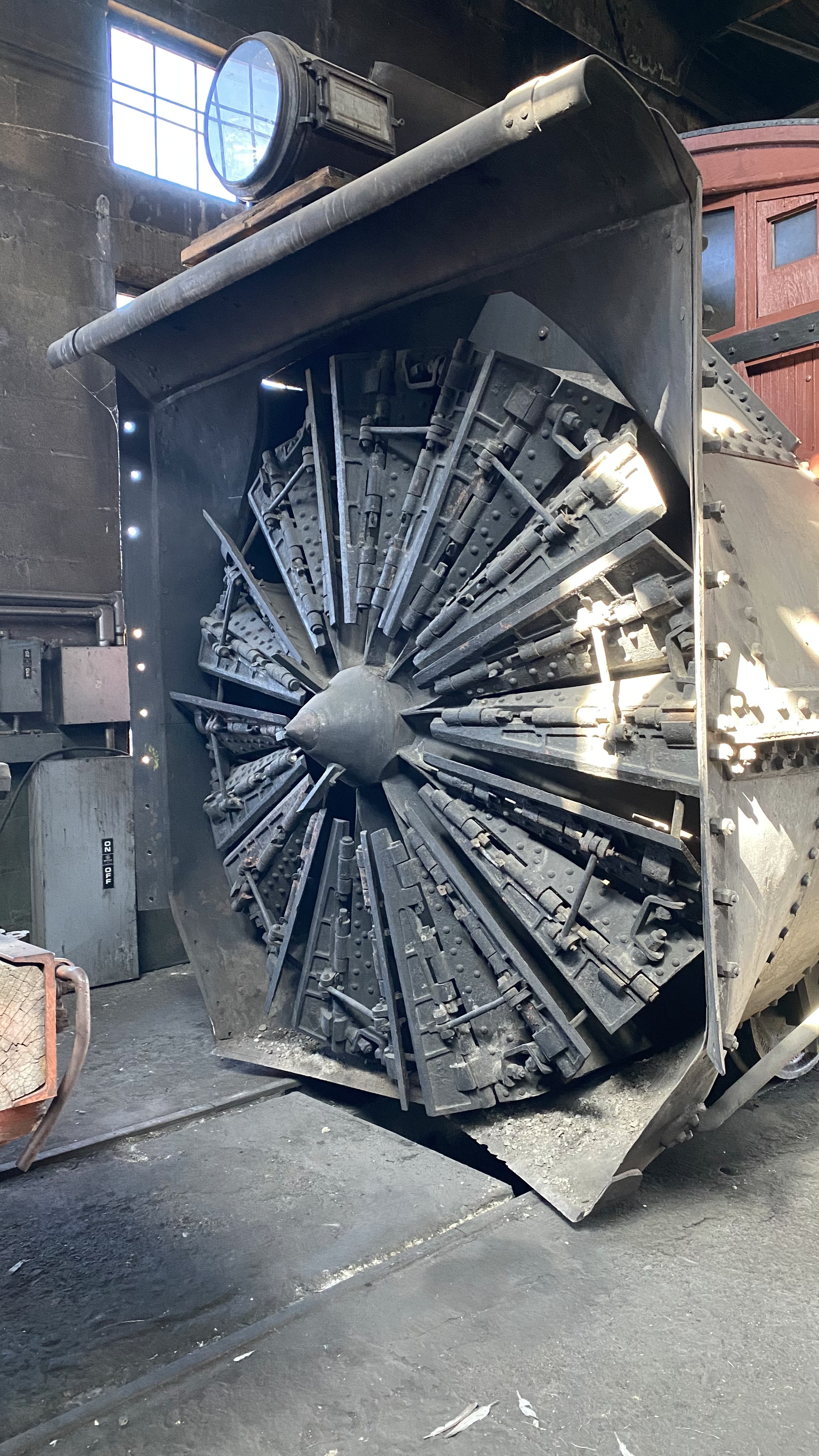
Ely is home to the Nevada Northern Railway. This railways hosts a 50 acre+ “museum” that was gifted to the state of Nevada by the Kennecott Copper company in the early 80’s. I place the word “museum” in quotes because the entire site is open to exploration. Nothing off limits! You can wander in the machine shop, the foundry, the rail yard – all of it. And I did…. oh I did!
The museum operates an maintains a range of original 1920’s steam locomotives and some vintage diesels. I spent hours exploring the entire facility and it was utterly immersive and satisfying. The staff and volunteers were also engaged, enthusiastic and happy to answer questions. I finished off the day with the train ride up Robinson Canyon, which is about a 1 1/2 hour round trip. That trip scenic and relaxing; well worth the money!


Now this article is allegedly about Starlink so let’s touch on that. We stayed at the Ely KOA Journey for one week so we could soak up all the activities. This KOA is easily the largest KOA we’ve visited and, presumably for the same reasons we stayed there, it’s very busy with RVs making their way along the US-50 – a gorgeous though often lonely ribbon of highway between Utah and California.
Though we thought the Santa Fe KOA was the nicest KOA we’ve stayed at thus far, the Ely KOA now takes that prize. They had a stunning set of bath facilities that were modern and, well, beautiful. The Airstream was located more or less in the central grounds, which were heavily draped in foliage. The spacing of the sites is just right though, and we had a nice view of the northern sky granting us excellent satellite service for the duration of our stay.
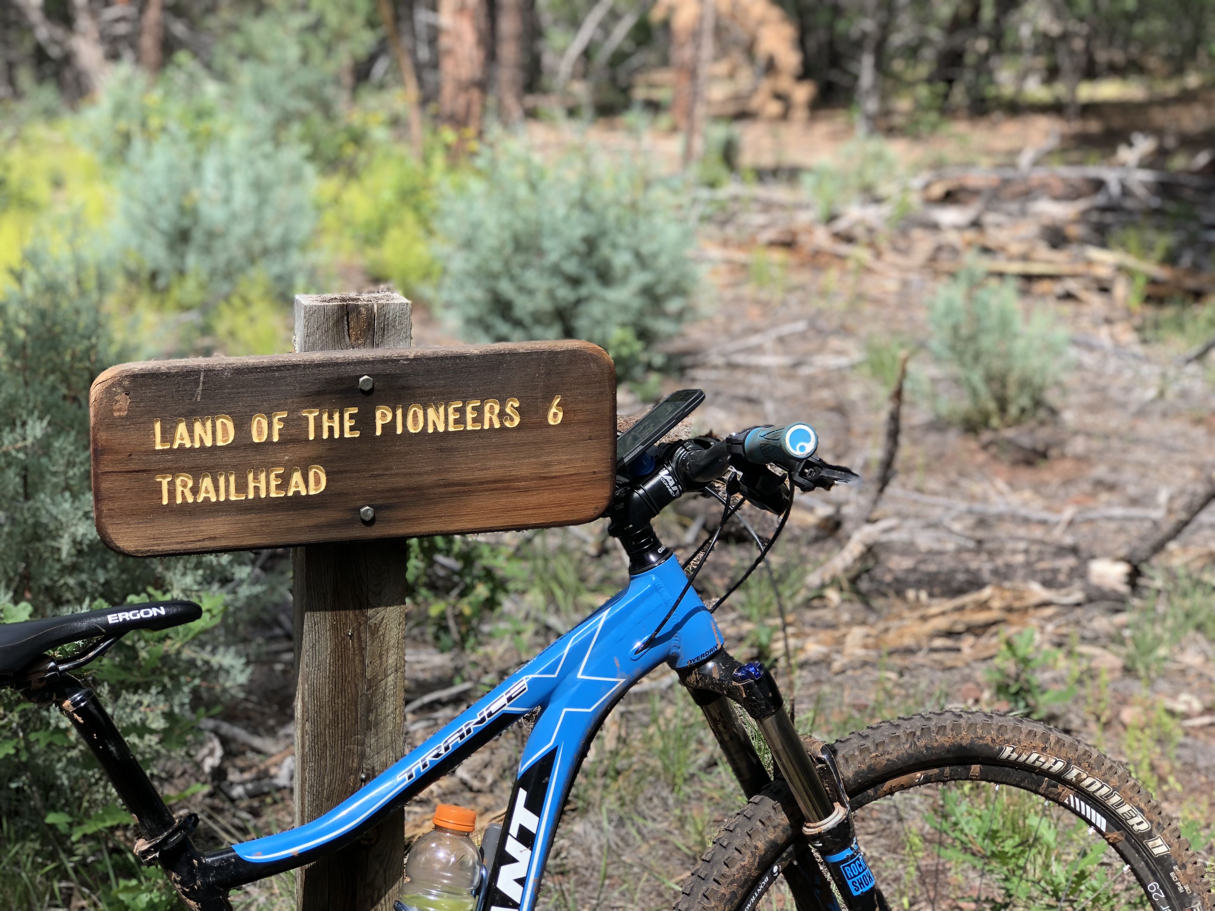
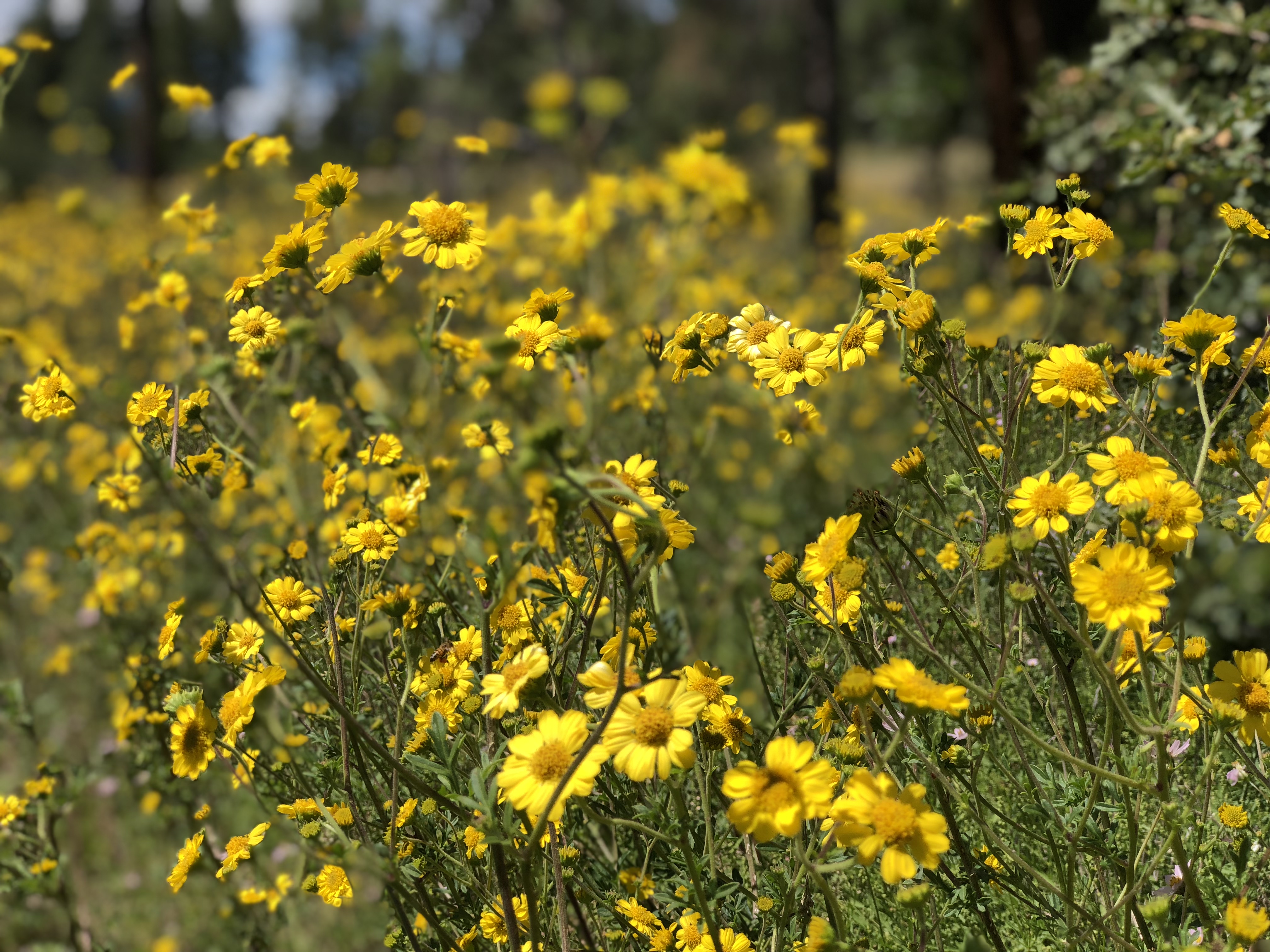
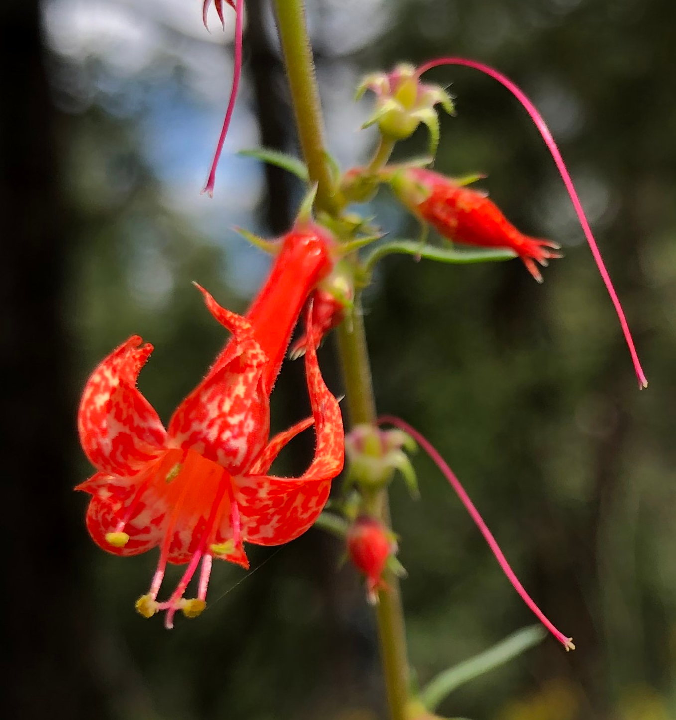
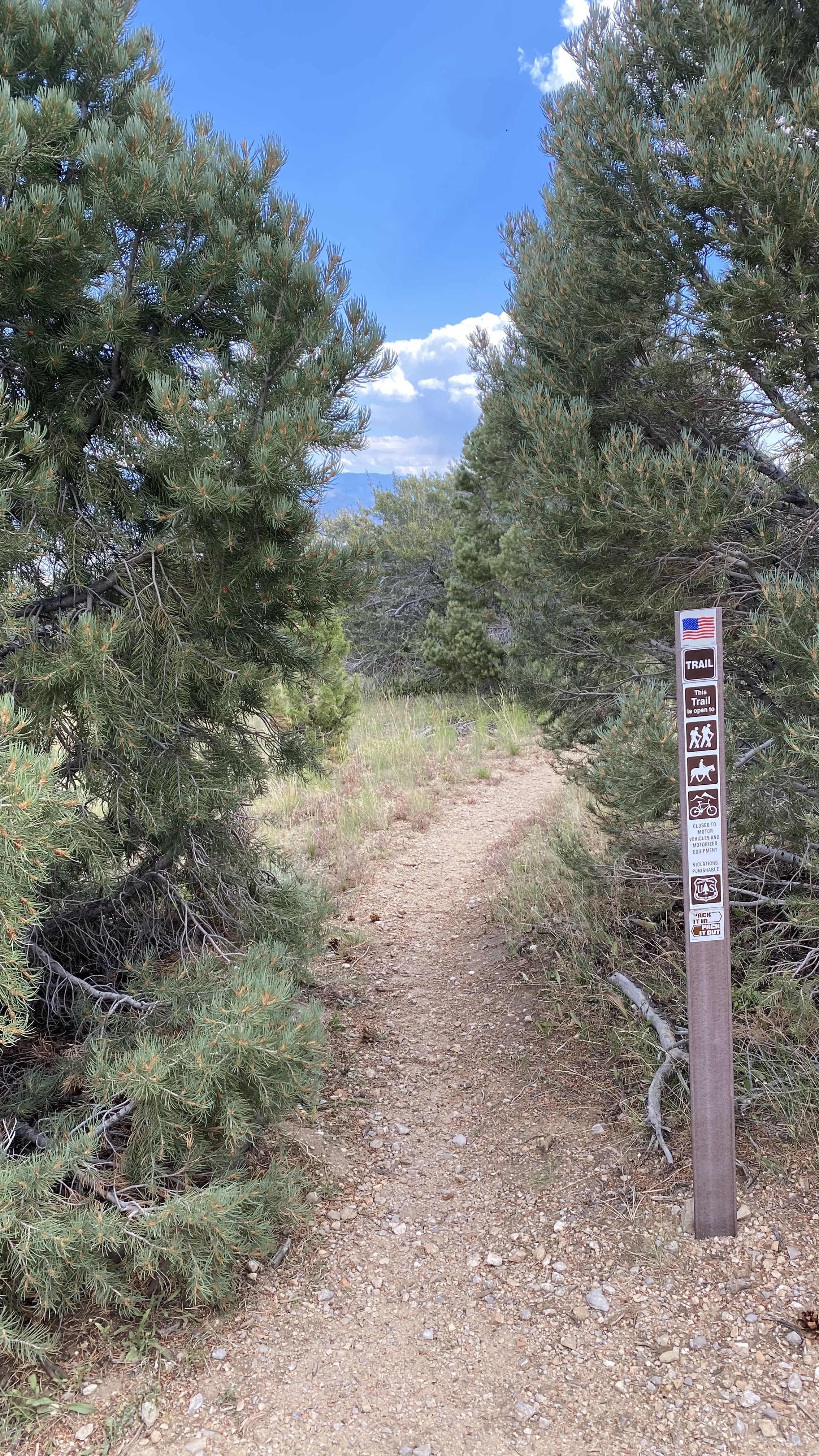
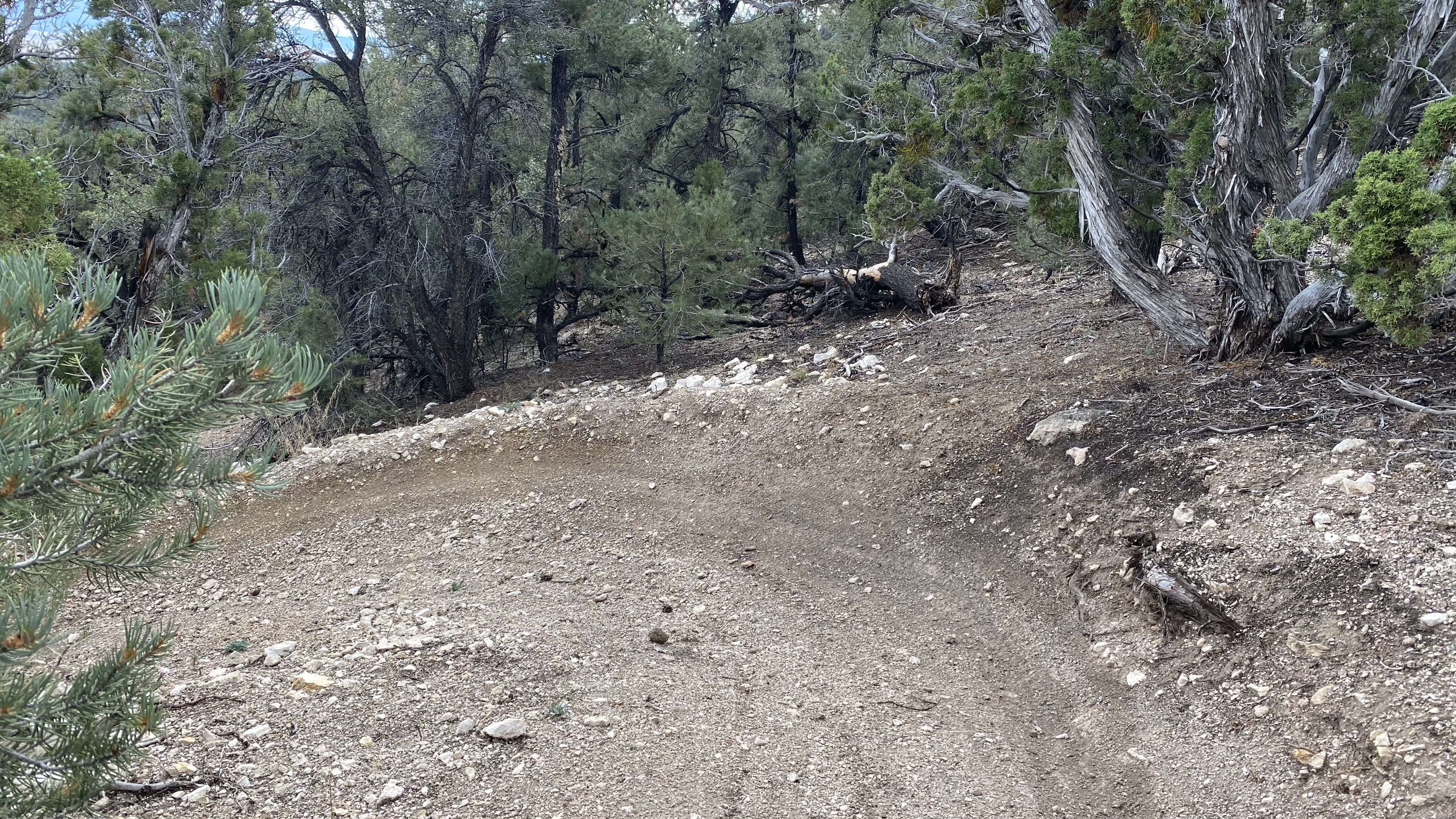
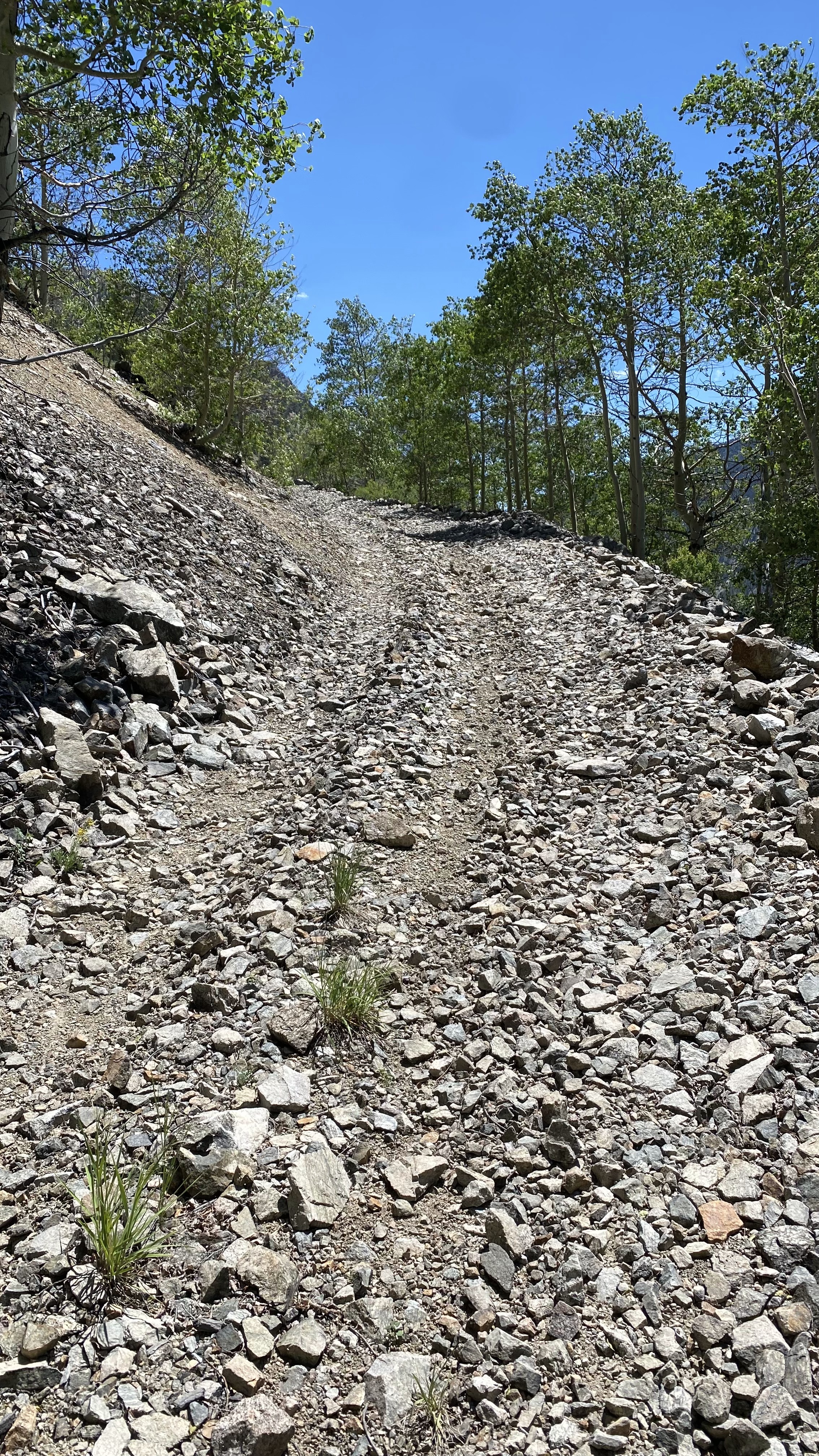
I was so engrossed with my PTO in Ely I actually forgot to run a speed test but we did not experience any interruptions and service was more than good enough for streaming and a smidge of work. I also forgot to grab a snapshot of the rig setup so instead you can enjoy some pictures from the Ely mountain bike trail system, including Ice Plant and Total BS (a superb downhill).


A final word about Ely. We find the following statement to be true all the time in our RV adventures and Ely just proves it again: The small out of the way places in America are often the best places in America.
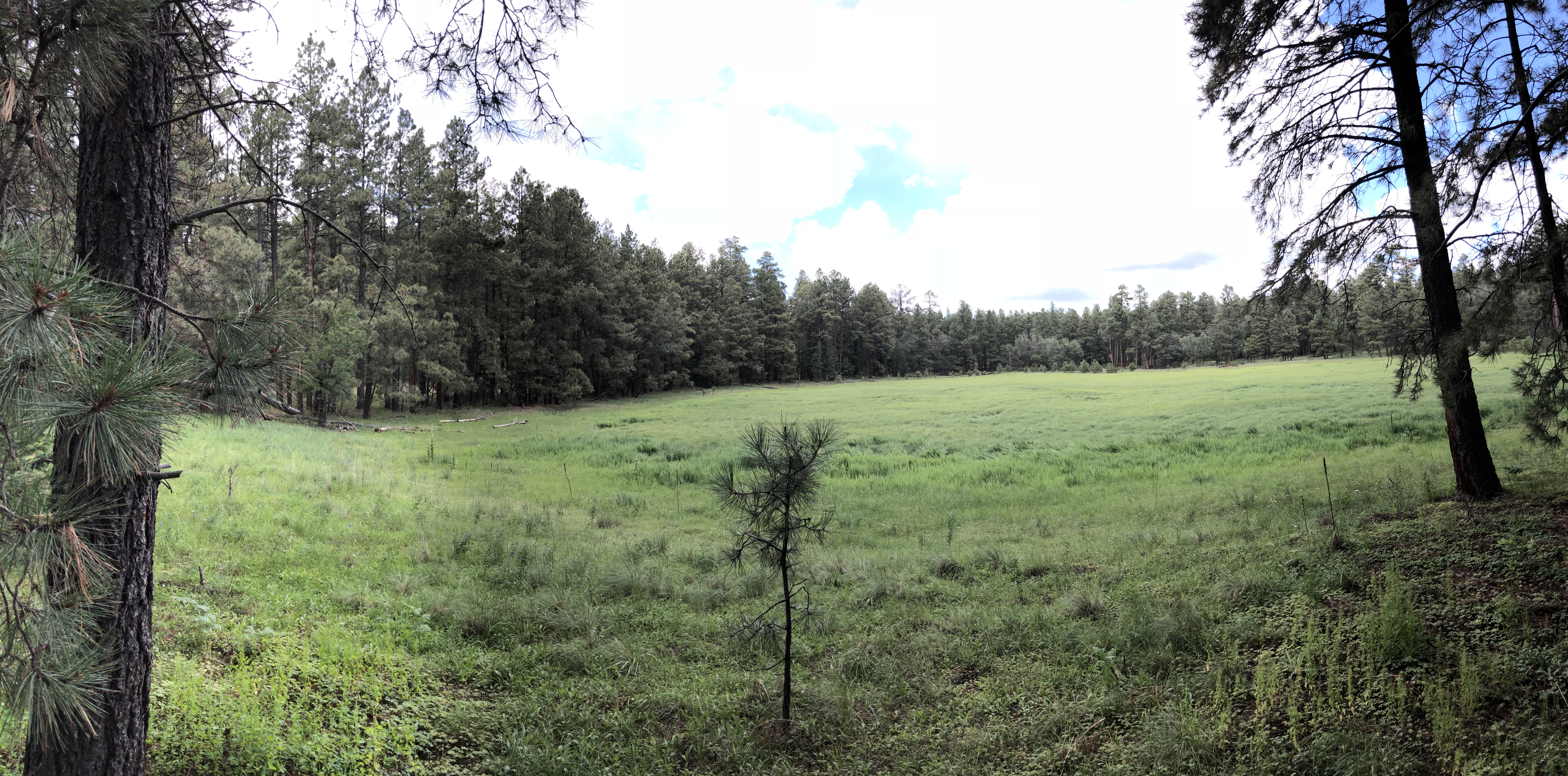
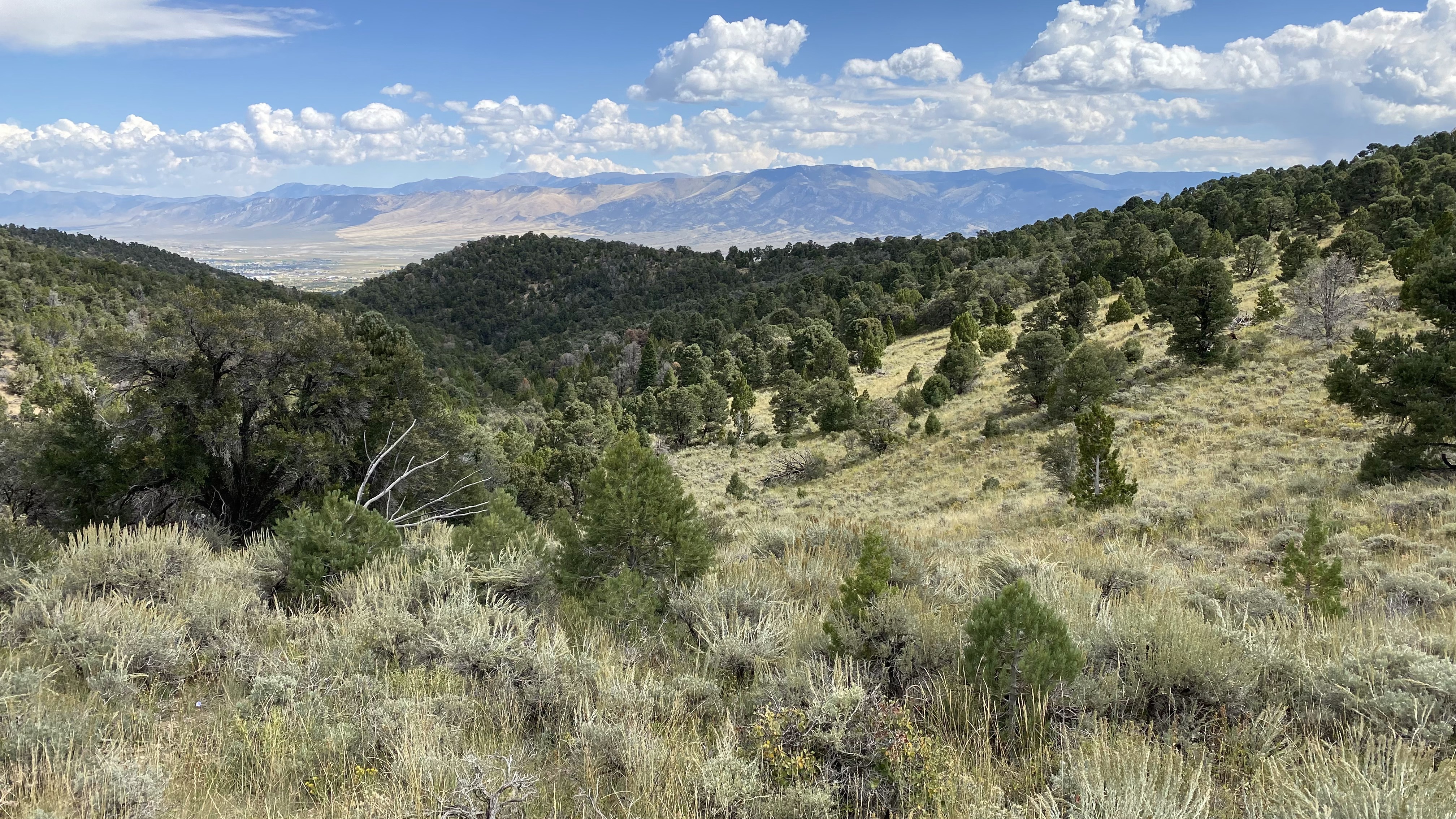
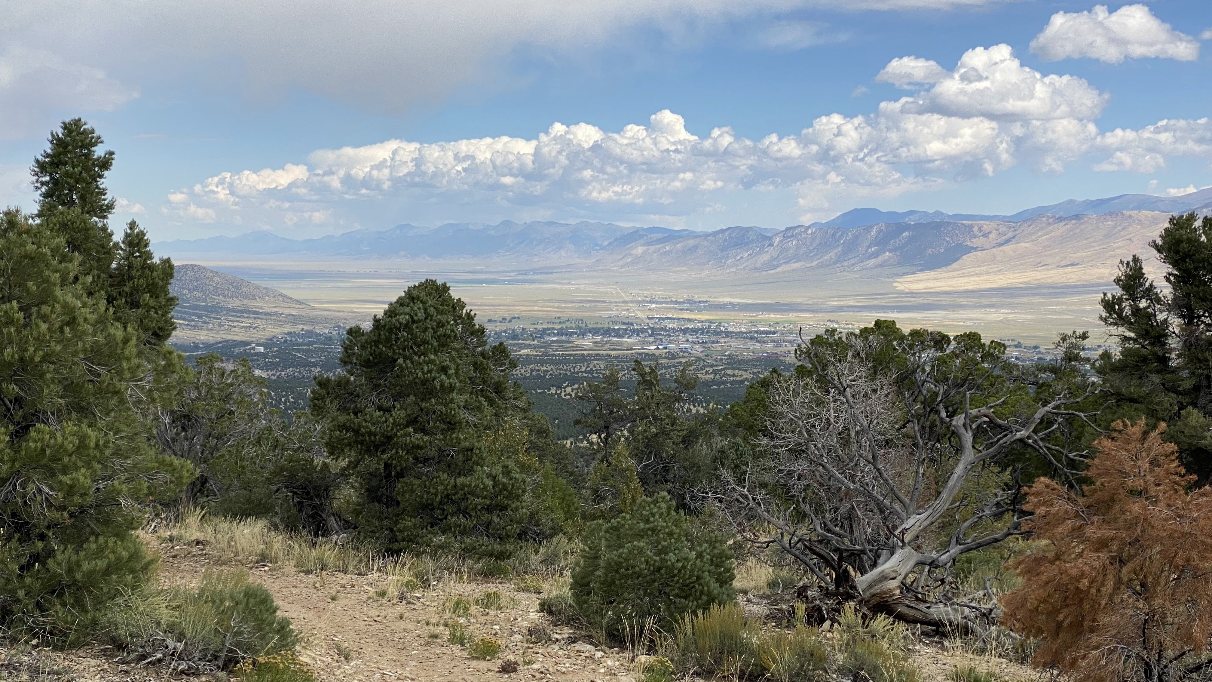
Ely slumbers in the stunning geological terrain of the Great Basin, making for arresting vistas and a deeply enriching center from which to explore. We had a lovely afternoon at Cave Lake State Park and I had many good mountain bike rides out at the Ice Plant trail system. We didn’t make it to Great Basin National Park itself but there’s a friggen glacier at Wheeler Peak. A glacier – in Nevada!
My spouse found the road bike riding satisfying and we both found the people pleasant and genuine. The night skies were to die for so we recommend you pop your head out if you have a chance. I already mentioned the trains but there’s more to do here next time we stop by like Garnet Hill so this is adding up to a must visit again in the future.
See you soon, Ely!
An Interregnum – Utah 21
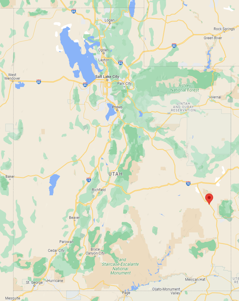
When you map out how to get from Silverton, CO to Mammoth Lakes, CA you’ll discover the I-70 runs slap-bang into some mountains. Really, it just ends unceremoniously in the Utah high desert with nary a gas station or habitation to be found.
The two most obvious alternatives are to jog north on the I-15 to the US-50, or follow the I-15 south to UT-21.
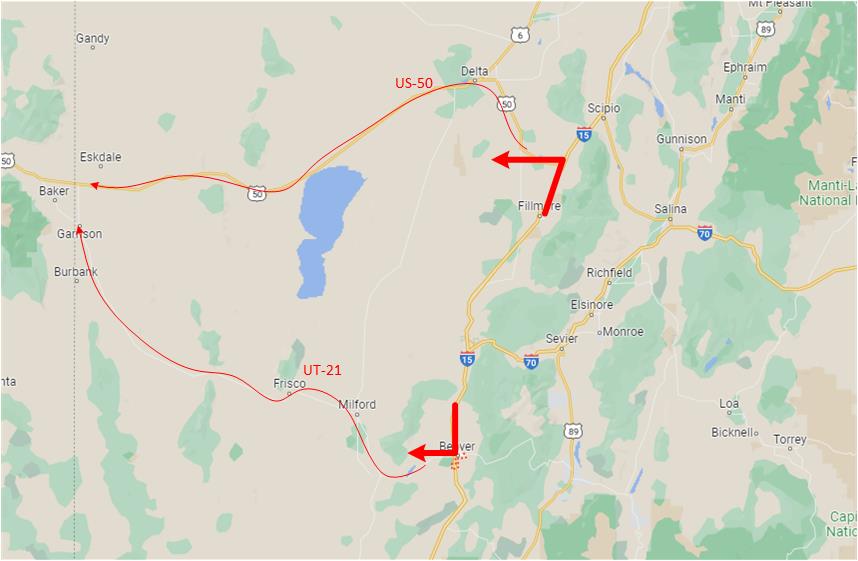
We’ve taken the 50 a number of times and while it is beautiful in sections, we’ve found the eastern portion lets say … uninspired. So we took this opportunity to explore UT-21 instead.
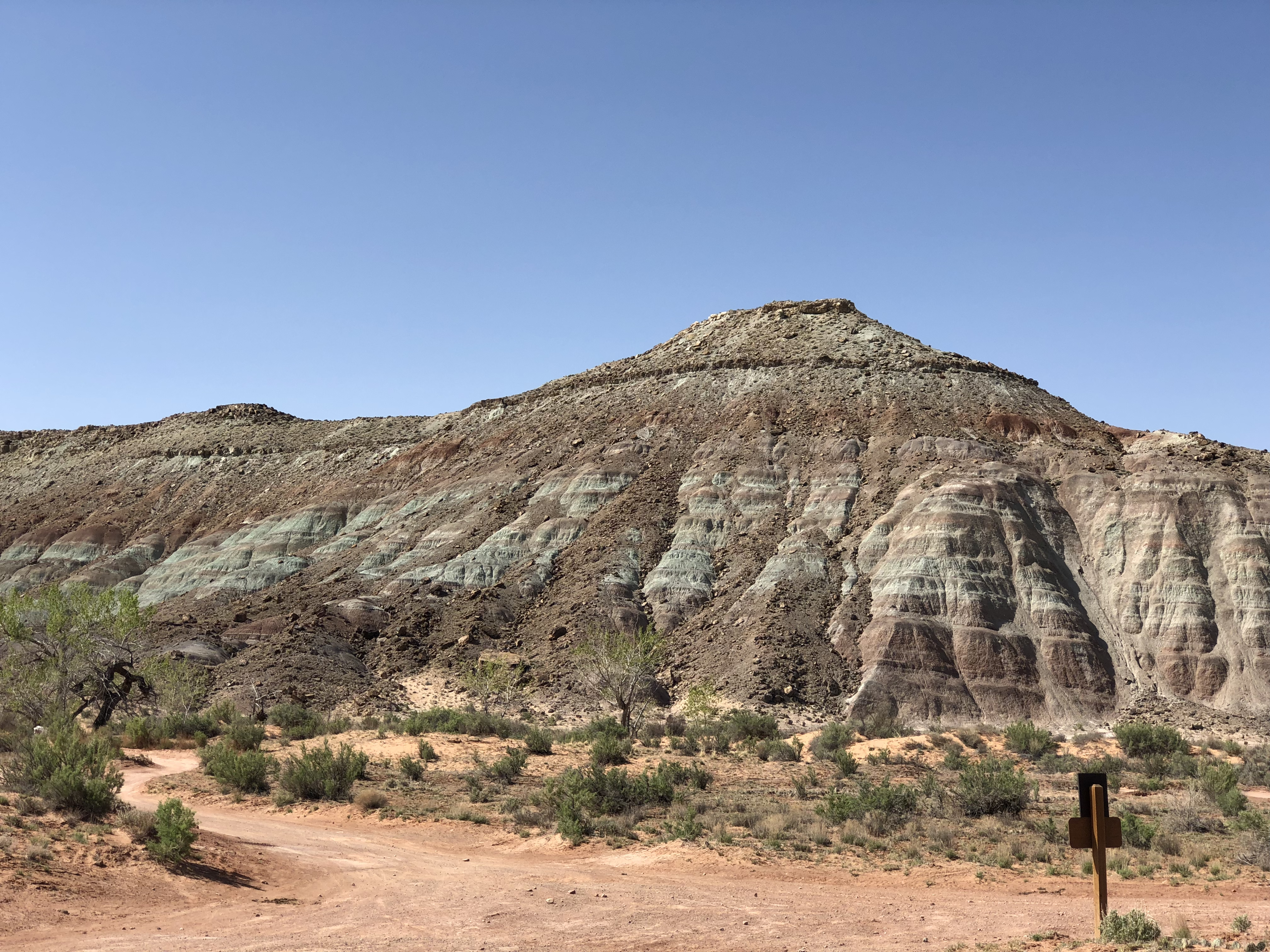
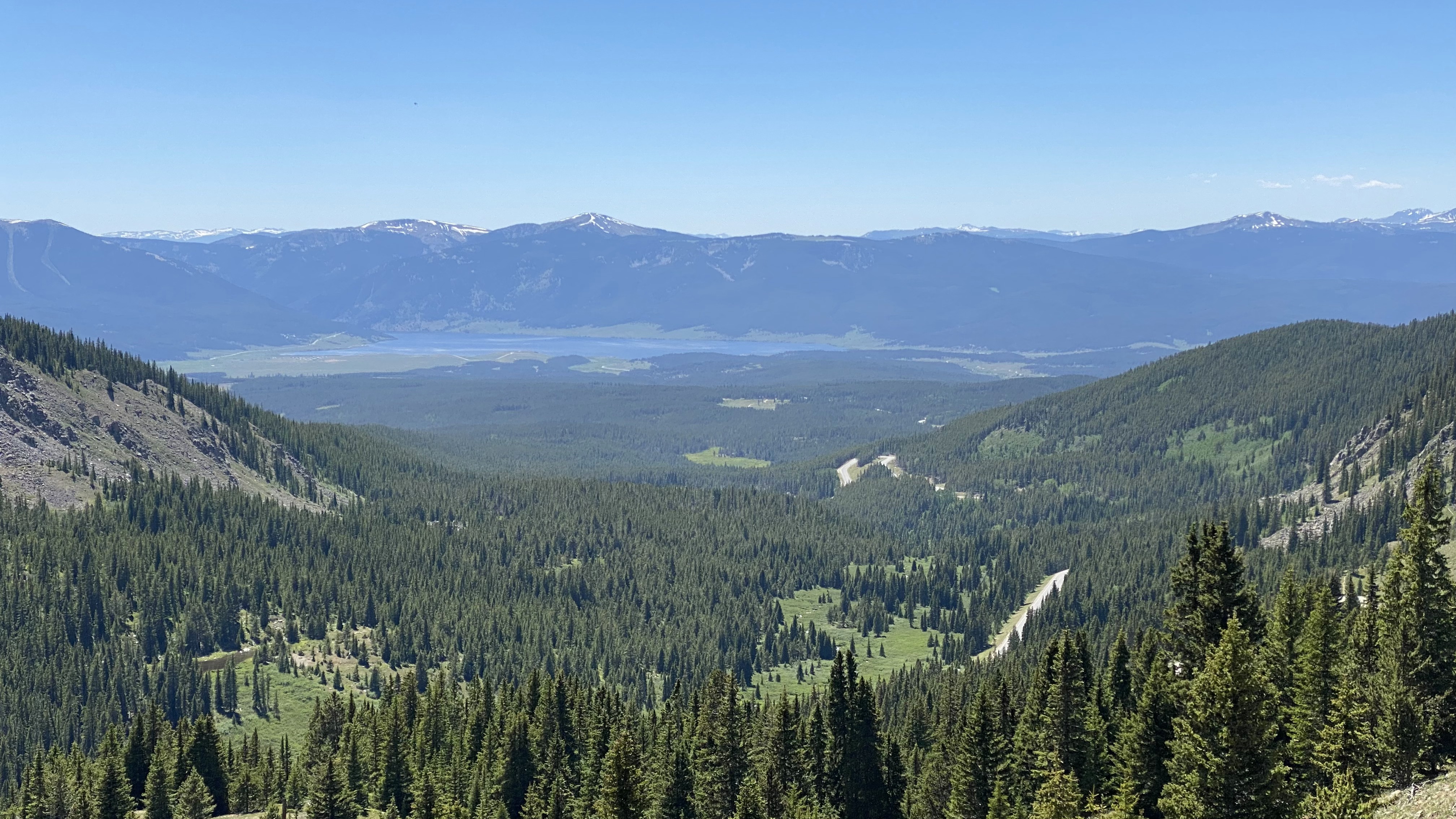
As we made our way on the UT-21, or “Ely Highway” as it’s called, I couldn’t help but immerse in the experience. The vistas were stunning, the road surface was superb and the terrain stretched away into a living panorama. We sailed over repeating mountain ranges punctuated by sprawling salt flats, meadows and mineralized plateaus. It was just us, the Airstream and nature. So much better than the 50.
So for one who espouses the virtue of isolation, RVing and the zen of mountain biking, this should be my thing. I was, therefore, a little surprised at a mild sense of unease. Why am I feeling this way? I think in retrospect it was the magnitude of the isolation. In three hours I counted 12 vehicles. I couldn’t help but wonder what would happen if we broke down out here in literally the most isolated place I think we’ve ever driven.
But as time went on the splendor of the locale pushed that angst to the back of my mind and I was able to enjoy the ride. I mean really enjoy it – like disassociate and forget you’re driving enjoy it. For most of the drive there are no fences, and the road is dainty to say the least – bordering on a path with no shoulder. Honestly this drive is the closest I think you could get in the lower 48 and still get a sense of what it was like in this country before fences. I could imagine in my head native Americans laying out under the stars a millennia ago seeing the exact same wonder I was seeing.
To punctuate the majesty of the drive we were also chased, but never caught by, a rather cinematic set of thunder storms. The atmosphere cast the entire landscape into this lovely glow that made those three hours some of the most magic in my life.
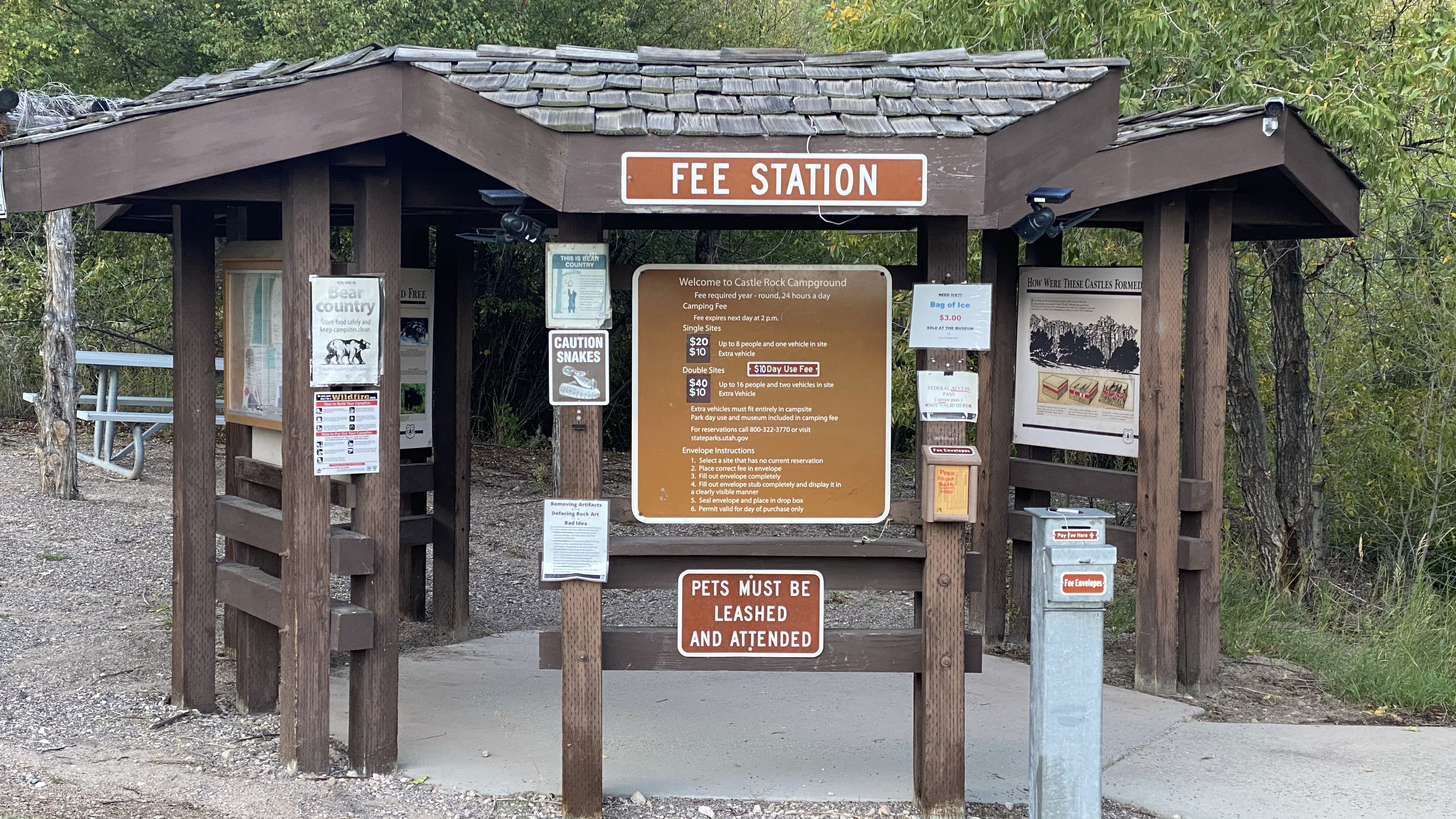
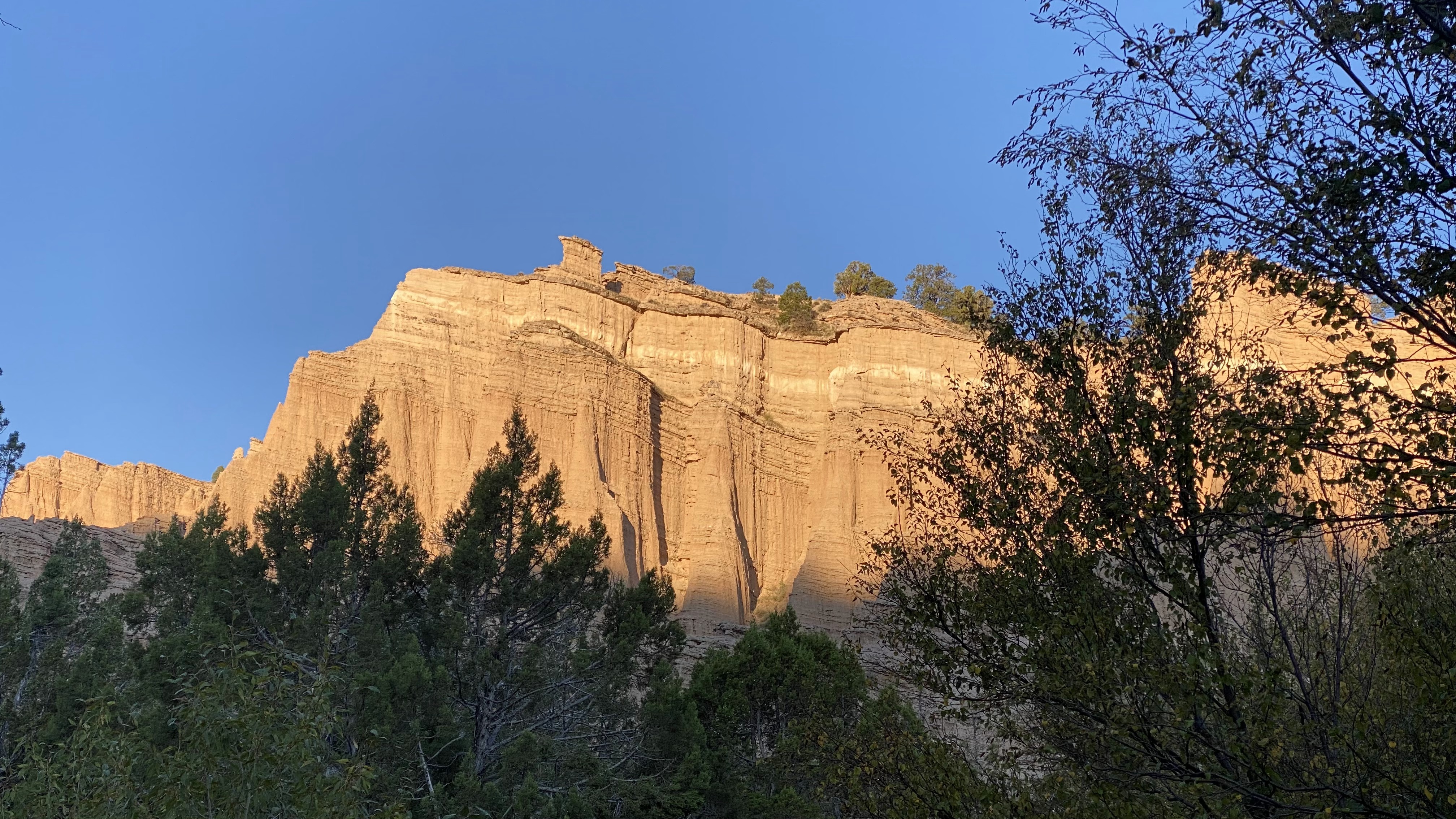
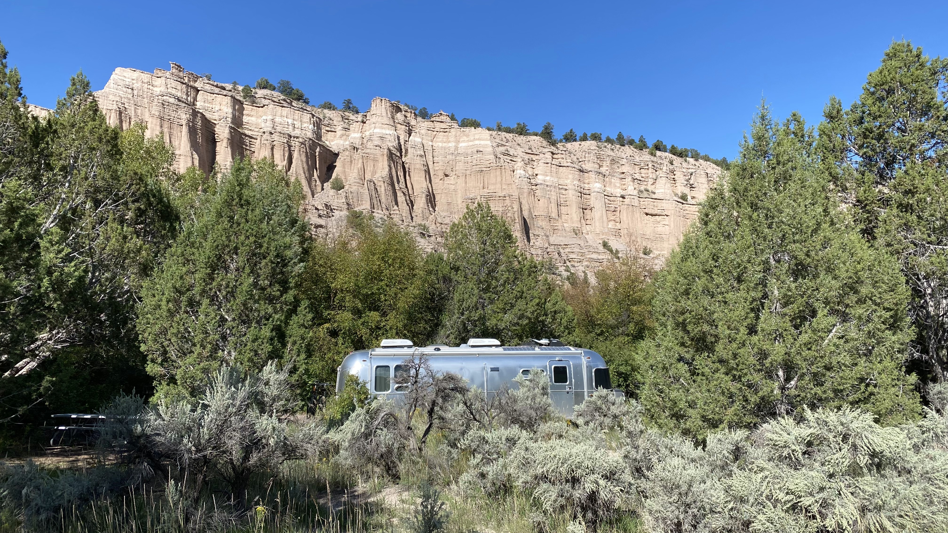
Castle Rock Campground, Sevier, Utah
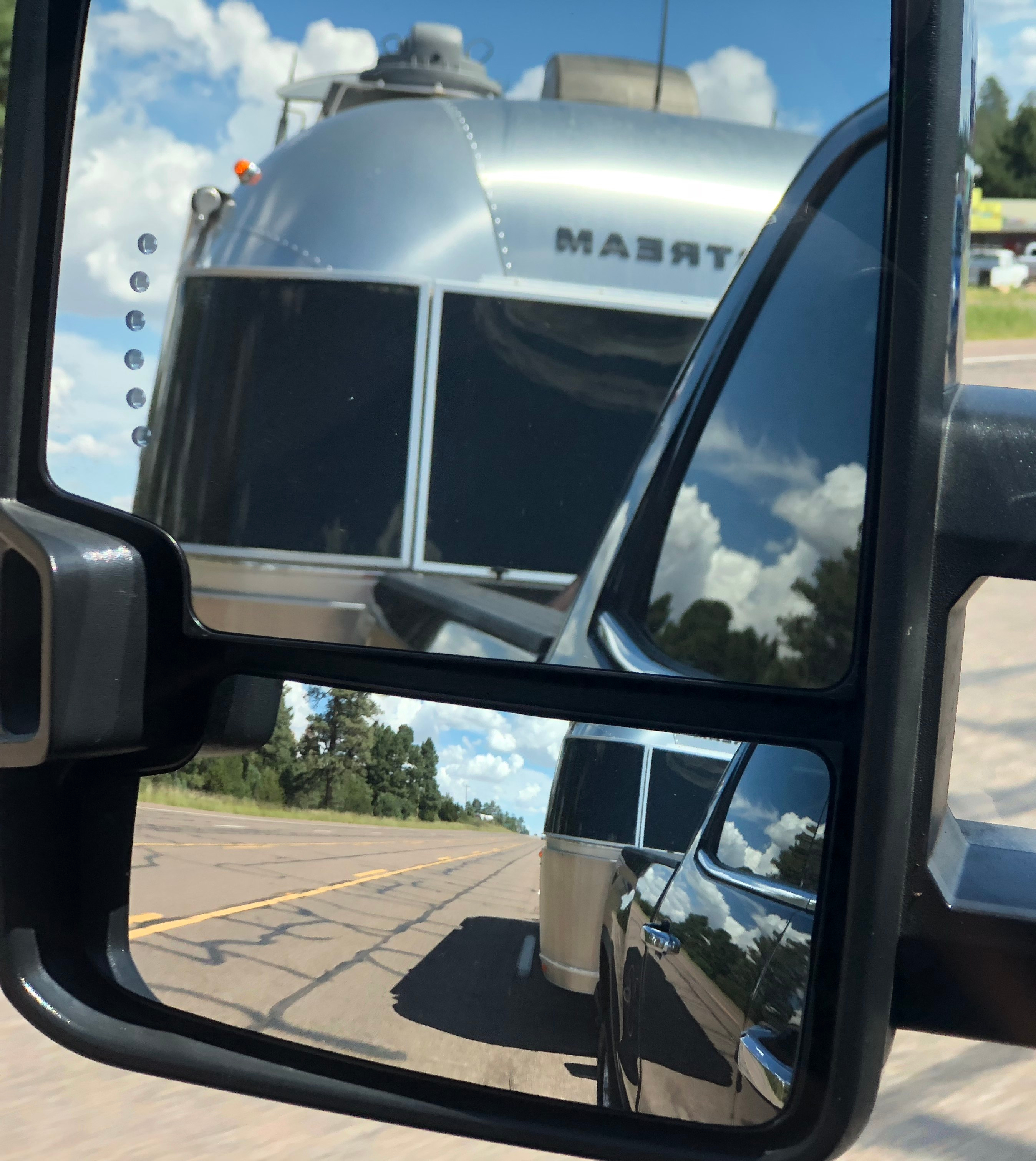
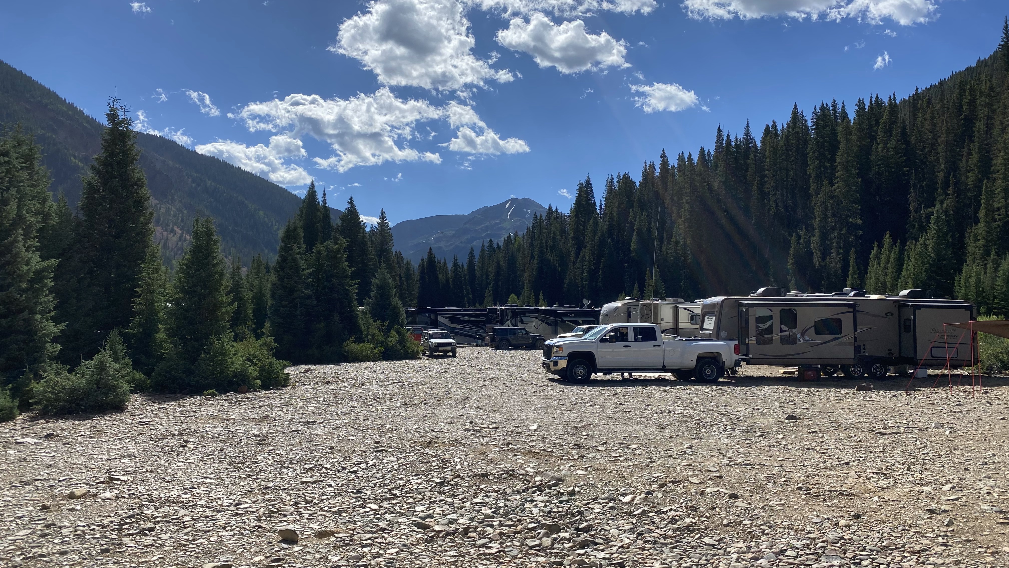
Our time on the road for 2023 is coming to a close so our eye is drifting towards our final destination in Mammoth Lakes, CA. To get there from Silverton, CO we’re breaking our trip into three days and two nights; I just don’t have the appetite for death-march drives anymore.
I learned about the Freemont Indian State Park area from Catherine Gregory’s YouTube channel and realized that the Castle Rock Campground would make an idea stopping point. While I would not describe this campground as a destination, at least not for us, it was ideal for an overnight. We snagged spot #31, which has an unobstructed view of the north sky. Located at 6,200′ the campground is 1 mile off the interstate off a civilized dirt road. We observed some vehicle length warnings, but our combined vehicle length is 50′ and we were able to make it around the loop and back in with no trouble.
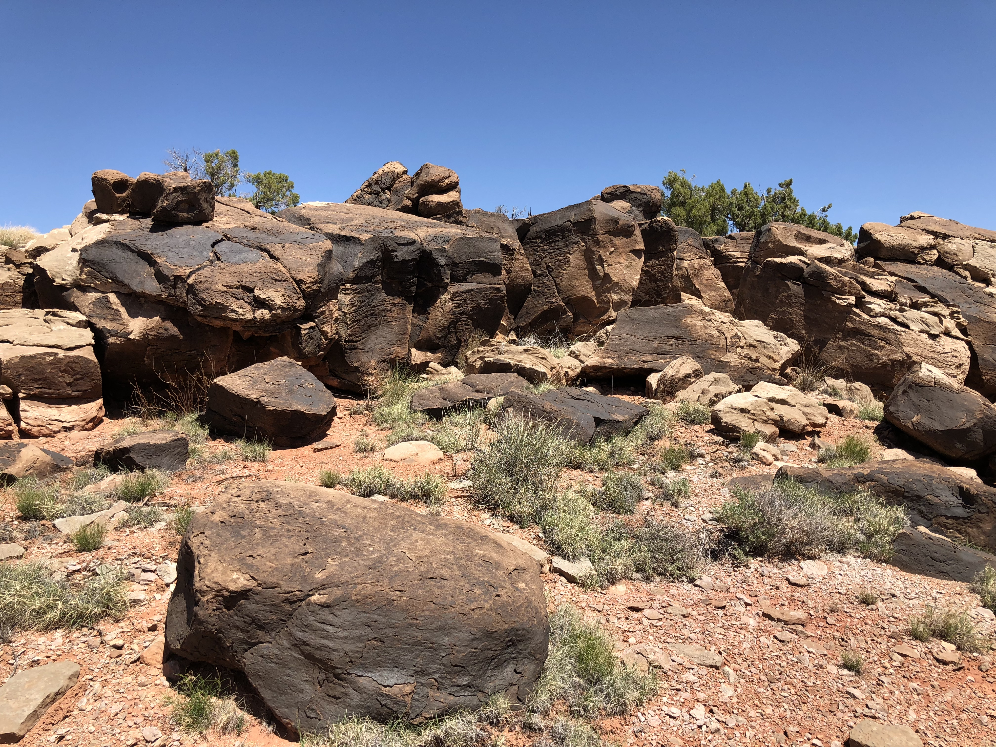
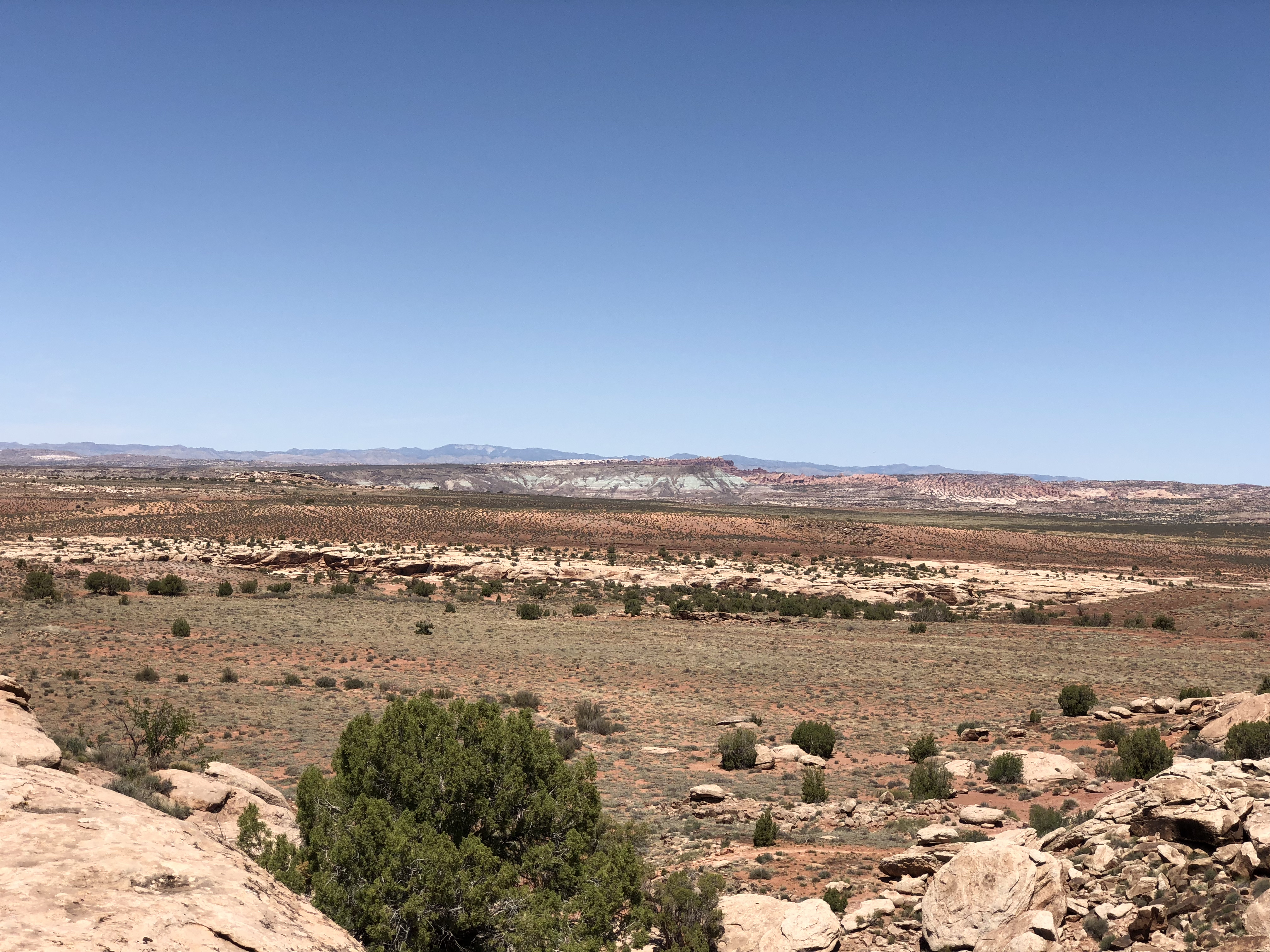
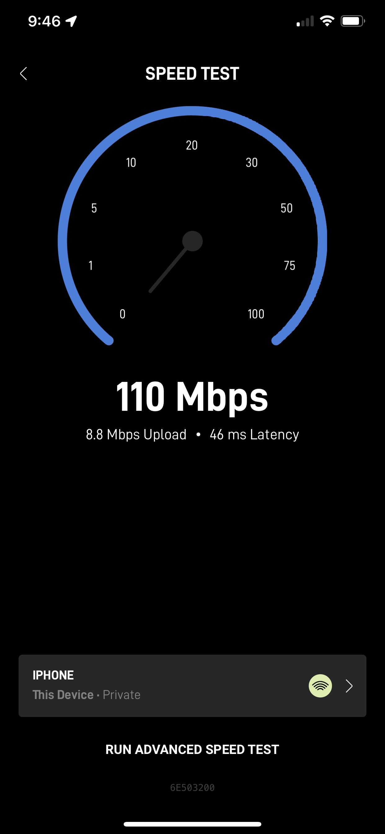
The campground was dead quiet with virtually no noise from the I-70 nor other campers. There’s a charming stream running right though the facility and of course, there’s the castle rocks – geological formations created by clever bits of erosion over the millennia. Owing to our excellent view of the sky we had 143 Mbps download speed and 4.4 Mbps upload.
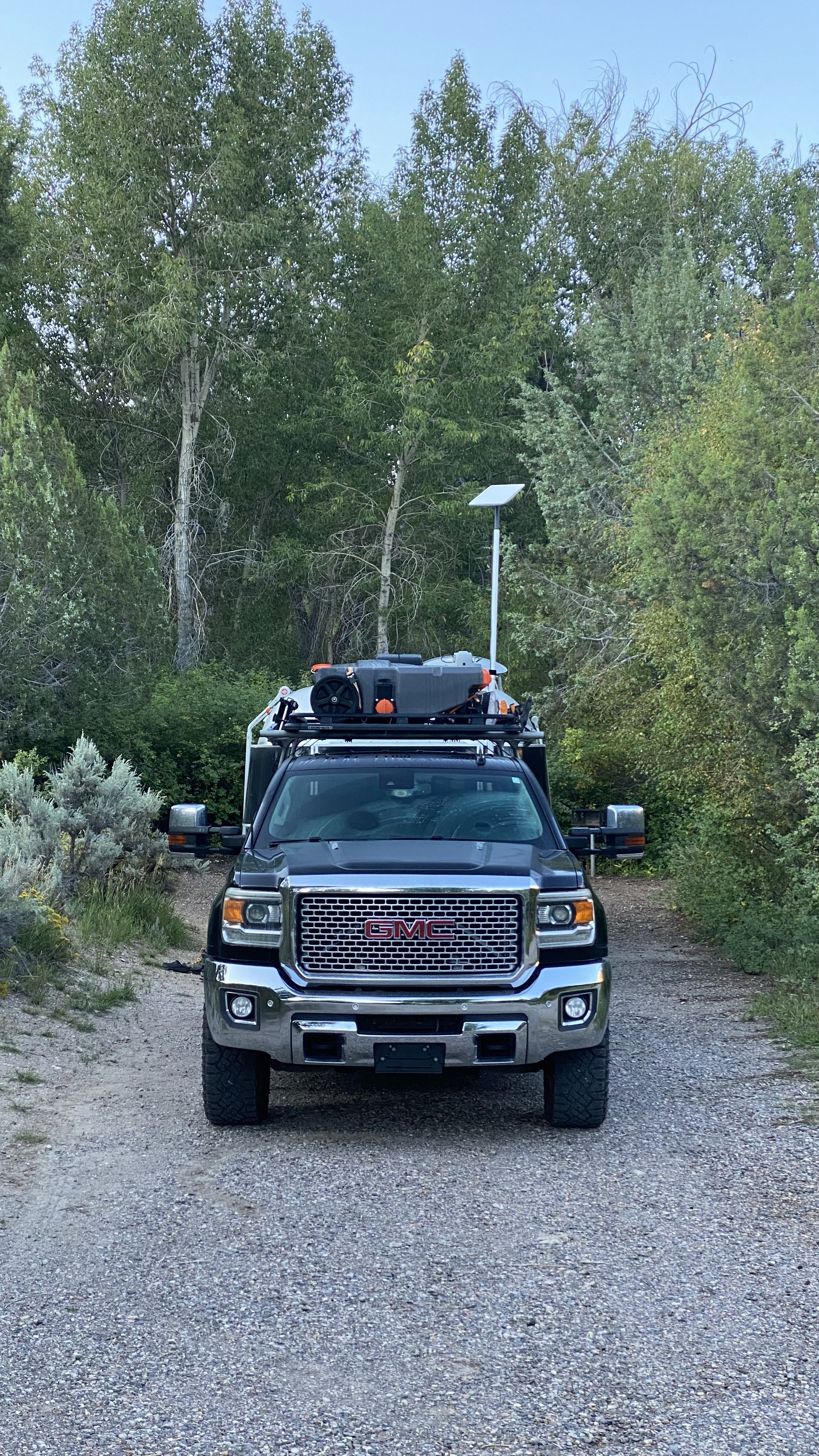

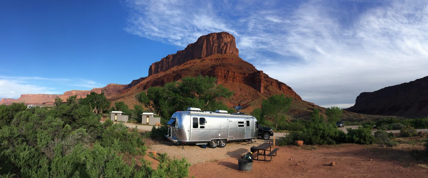
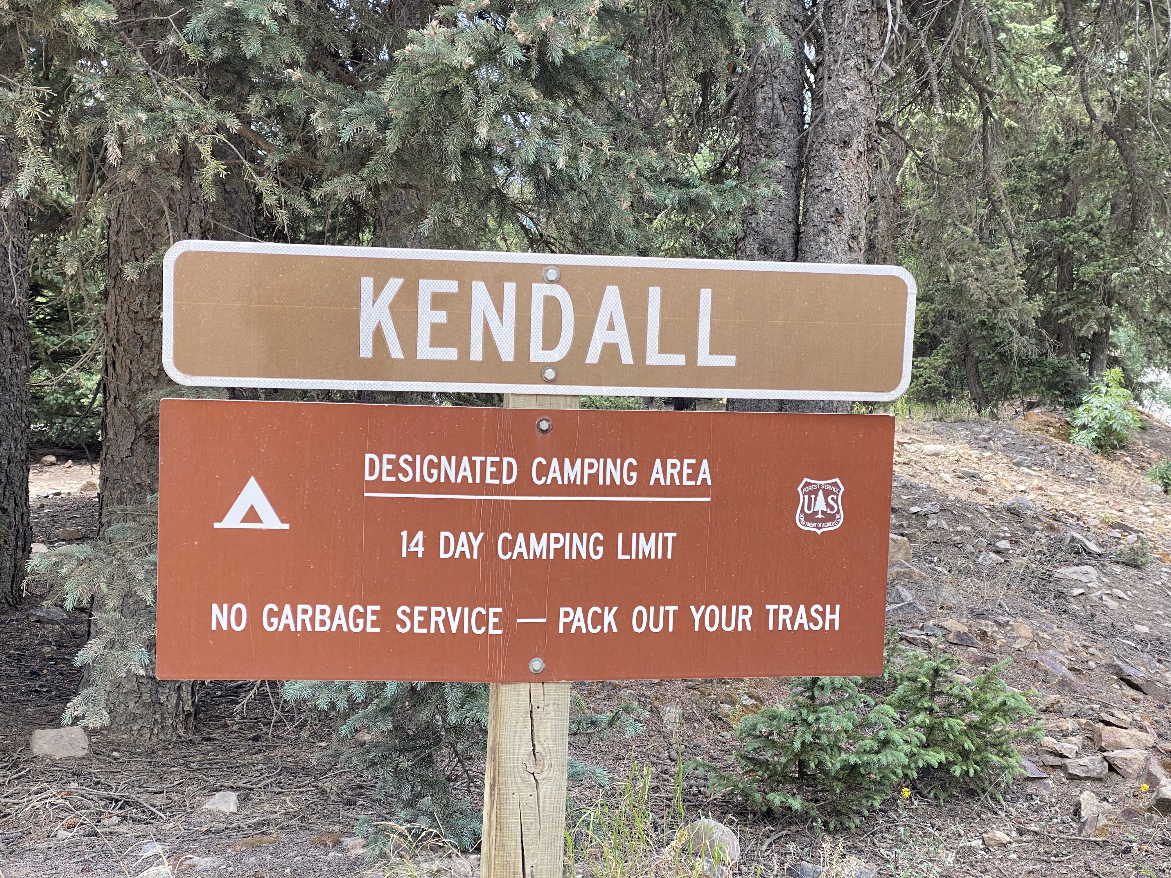
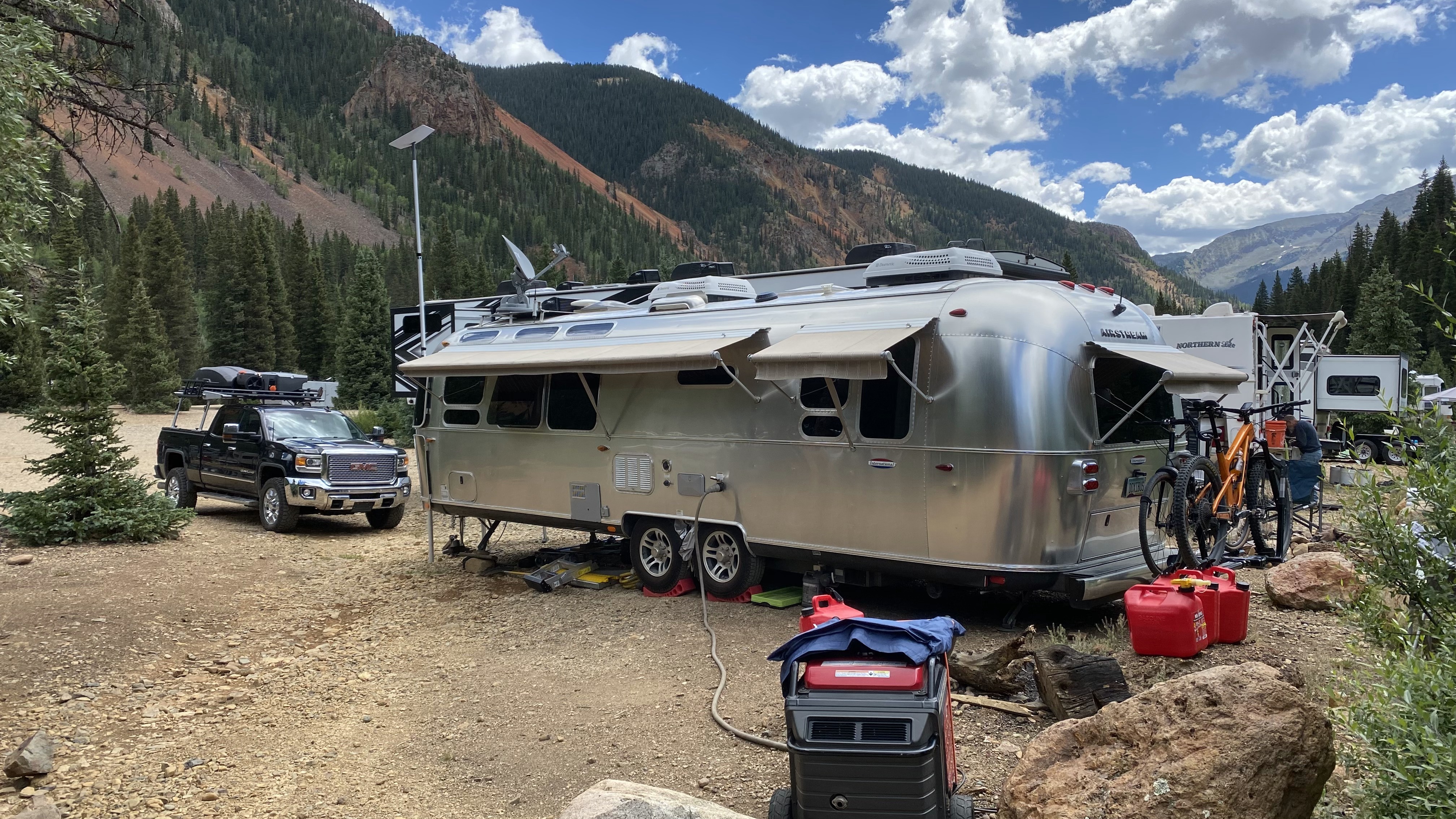
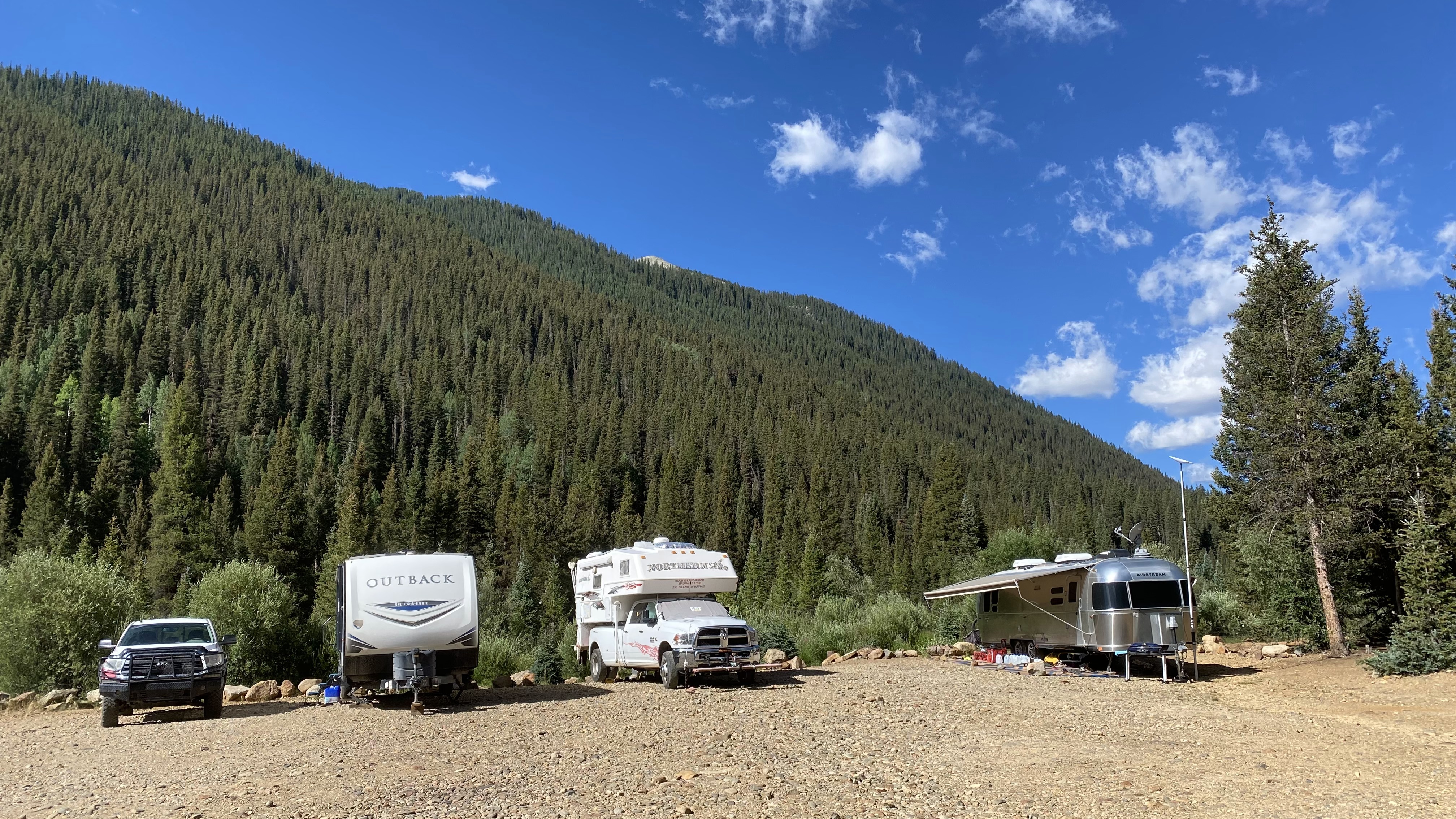
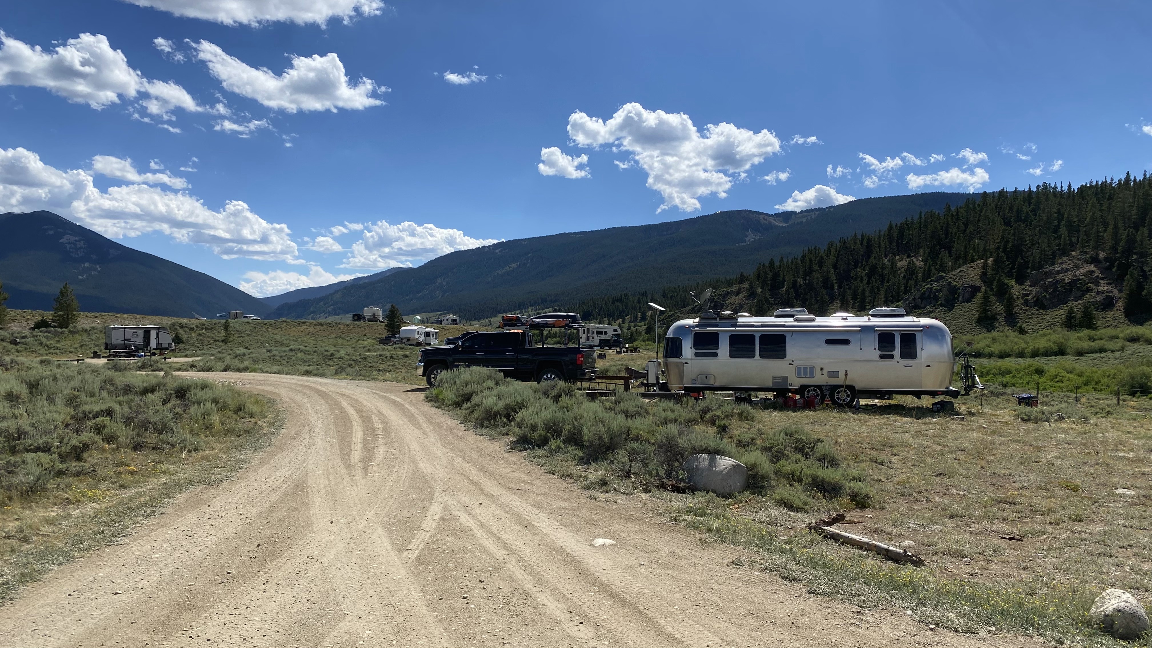
Kendall Campground, Silverton Colorado
Kendall Campground is a unicorn for the intrepid traveler offering free camping, gob smacking riverside/mountain/forest/sky views, no rigidly established spots and a vault toilet. Trash must be packed out and there is no potable water. This campground is located three miles west of Silverton, Colorado at an elevation of 9,490′ and is most definitely first come first served. As with all national campgrounds stays are limited to 14 days.
Awesome sauceness about this campground is location location location. I have blogged about this spot in the past because there’s nothing quite like Silverton in existence. Why? 19th century steam locomotives play their way here daily, horse-drawn carriages offer tours of the city. Mine tours are available, there’s a deeply enjoyable museum and of course this is all on the threshold of some of the most dramatic mountains in the entire state of Colorado, the San Juans. These mountains have a deep history of mining and now offer a massive network of 4×4 trails, hiking and mountain biking. Silverton also offers some delicious restaurants and a handful of awesome breakfast cafes. It is a physical impossibility to become bored here.
Not so awesome features of Kendall Campground include is its reliance on decent human nature to keep the peace, as there are virtually no rules. Exceptionally loud generators are commonplace and the bathroom is treated miserably. I’ve done my part, taking the bathroom trash to the free Silverton Transfer Station but some folks are not so considerate. Please my friends, do better – we want this gem to stay open!
Our Starlink connection here has averaged 114Mbps down and 25Mbps up. We were able to select a site with no obstructions to the north, though not all sites are this fortunate. We enjoyed excellent service for the duration of our stay.


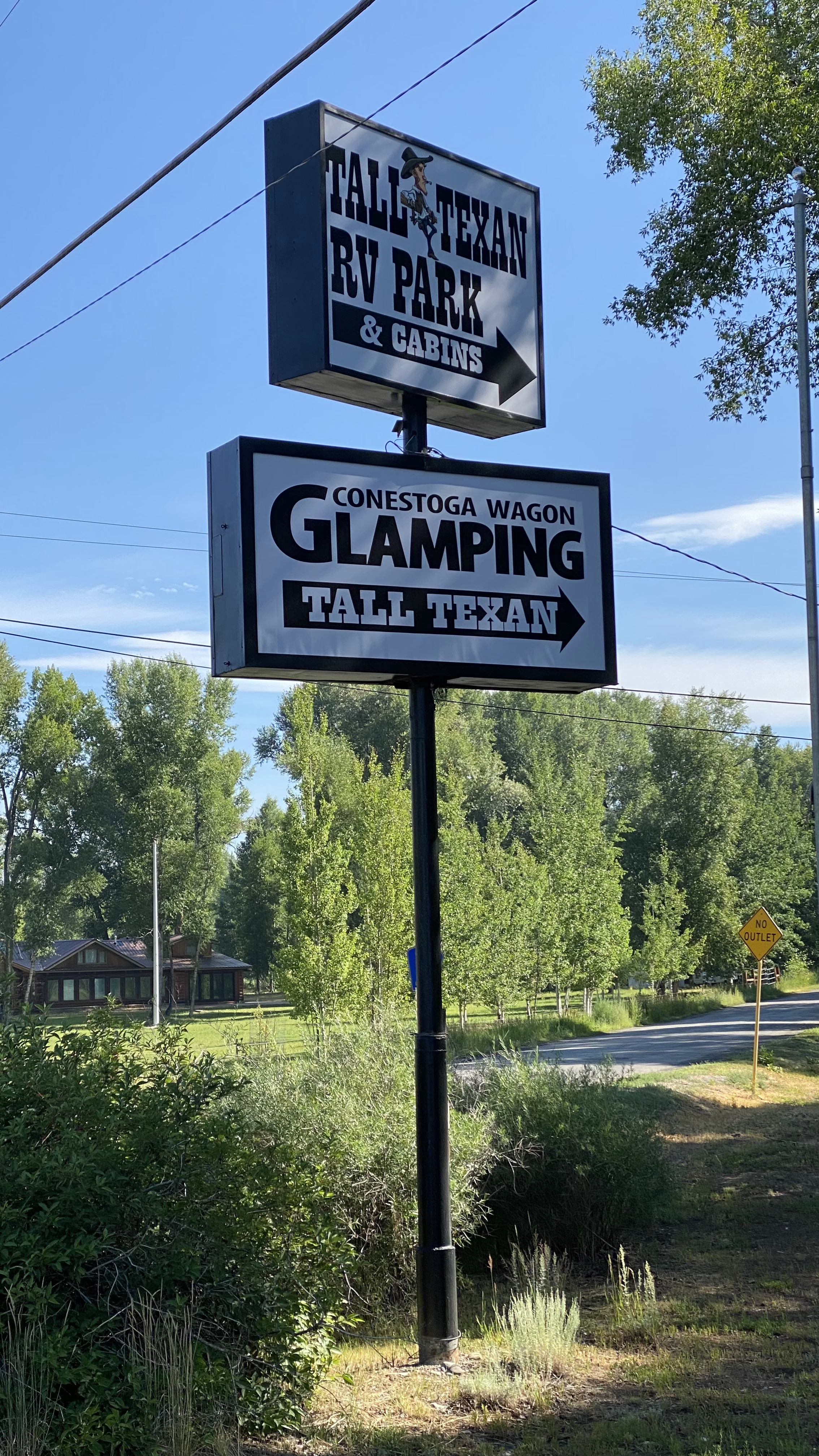
Tall Texan RV Park & Cabins, Gunnison Colorado
Tall Texan RV Park & Cabins is a lovely park located only a few minutes north of Gunnison, Colorado. We’ve stayed here in the past and our most recent stay reminds us what a lovely community they’ve created.
I’ll get this out of the way up front, though – Starlink and DirecTV reception is nearly impossible here owing to the deep carpet of Cottonwood trees that engulf the entire facility. Still we pop by occasionally for a quick touch base with the world before heading back out into the wilderness.
Awesome features of this RV park start with location – Gunnison is only a few minutes to the south where you can find just the right amount of civilization including auto shops, a Walmart, a City Market plus a nice collection of delicious restaurants. A half hour to the north is Crested Butte with its world class mountain biking. I should point out that Gunnison is no slouch when it comes to mountain biking either – offering a nice trail system behind Western University along with Hartman Rocks to the south.
Tall Texan has all the amenities including spacious sites, full hookups, showers, laundry, propane refills and even cub-side trash pickup. The aforementioned Cottonwood trees give off a sweet aroma and the deep shade keeps the entire area cool even on hot days. The park is sprawling so there’s plenty of opportunity to give the pups a good walk, and the surrounding neighborhood make for delightful evening walks. The staff are also remarkably friendly, going so far as to help you back into your site.
And last but not least, Gunnison is the beneficiary of multiple perennial streams forming the Gunnison River, which has fostered a robust rafting community.
Not so awesome features of the park include the aforementioned Cottonwood trees, which this time of year (July/August) produce an unending rain of white cotton-like pod-bombs that land on everything and stick to the RV, the truck, shoes, dogs, air conditioner intakes….. everything. Cell service is also poor, though the park does offer WiFi, which we did not use.
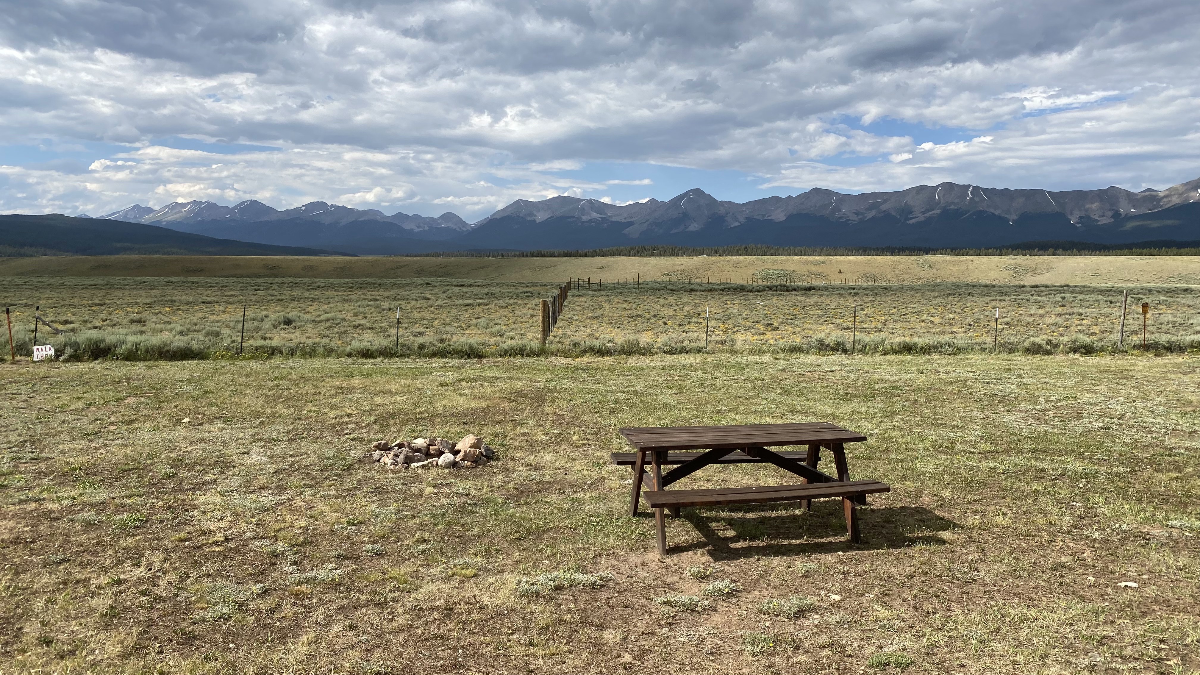
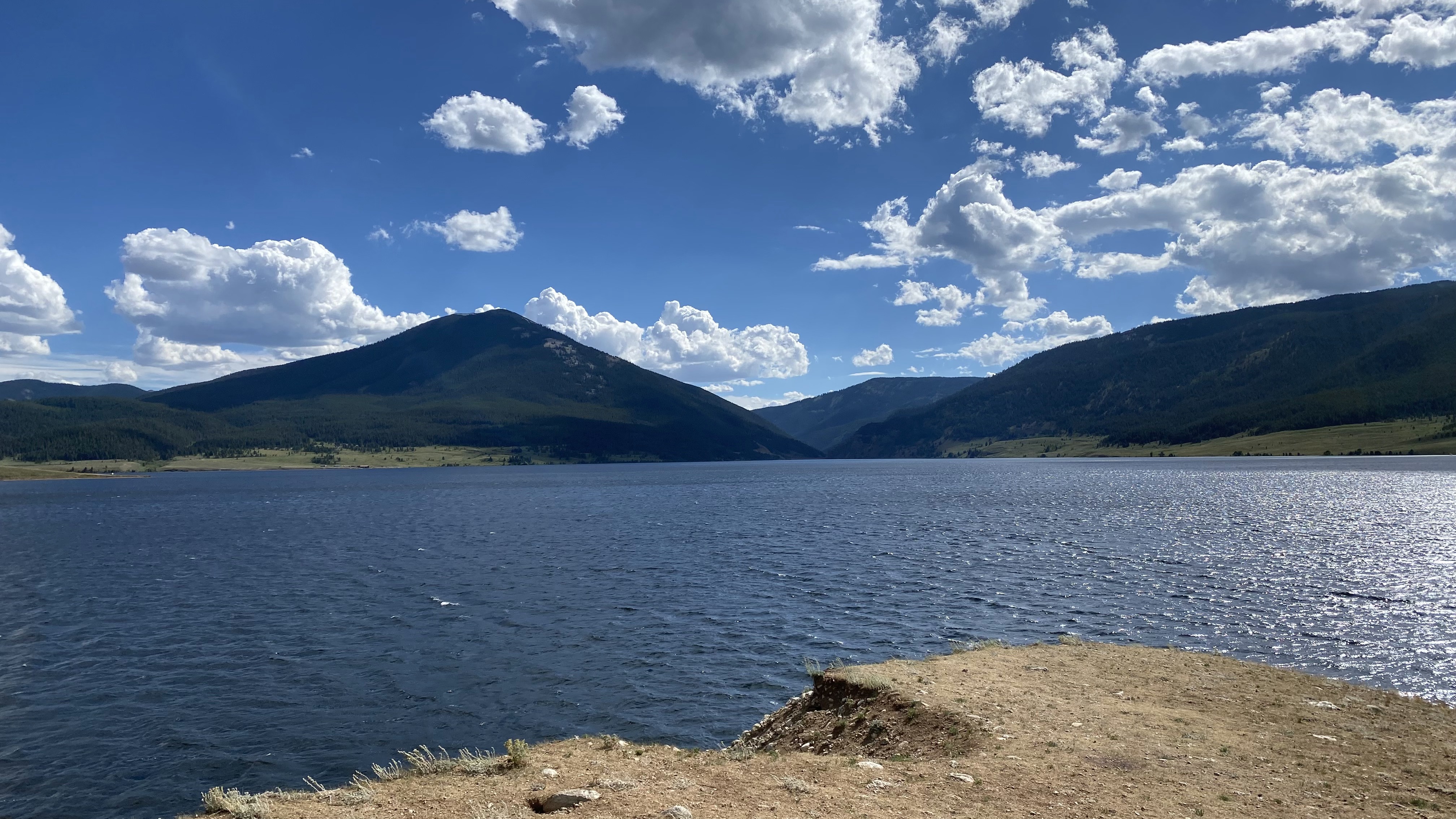
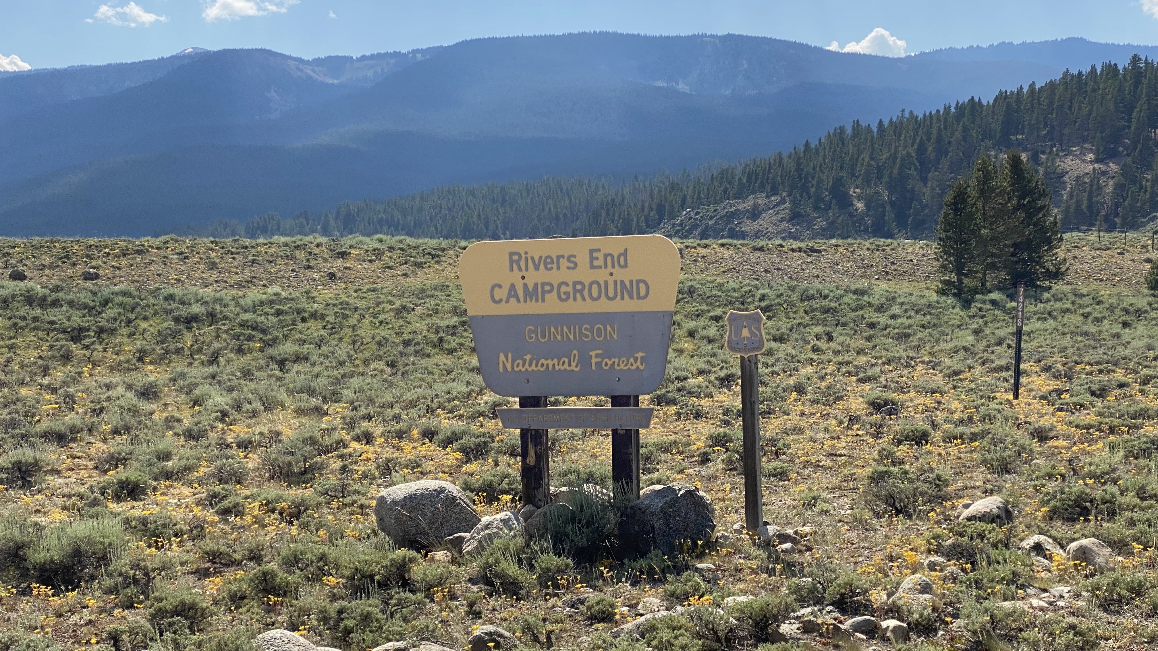
Rivers End Campground, Taylor Park Colorado
Rivers End Campground occupies the liminal space between the Taylor River and Taylor Park Reservoir in the Gunnison National Forest. The campground is located about an hour north of Gunnison and an hour west of Buena Vista. Sitting at 9,270′ the campground offers two kinds of sites – 8 ultra long pull-through sites and 9 spurs. The nightly fee is $18 with the standard limit of 14 days. There is a central hand pump for delicious potable cold water as well as two vault toilets, one for each section of the campground. All sites are first come first served.
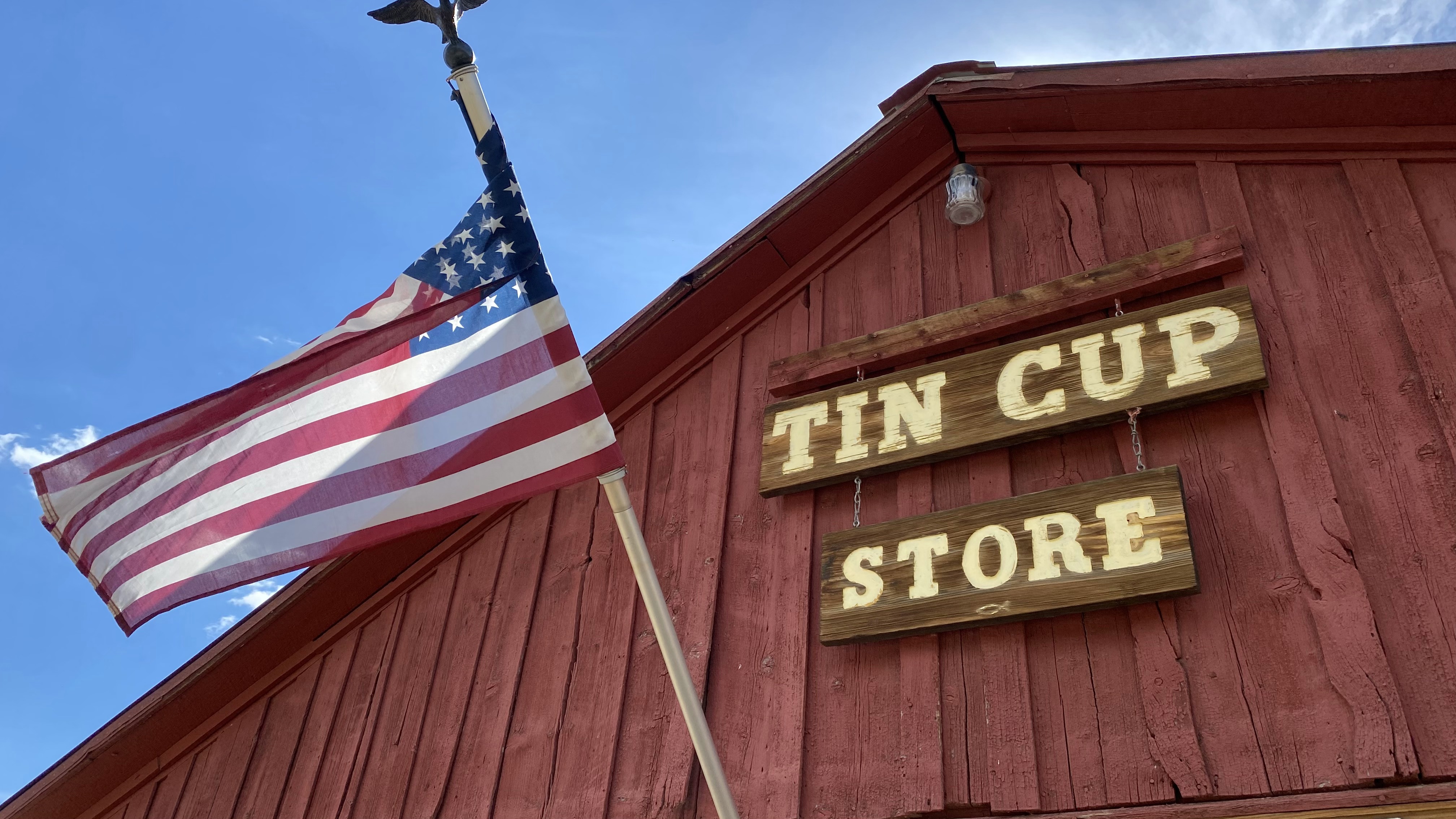
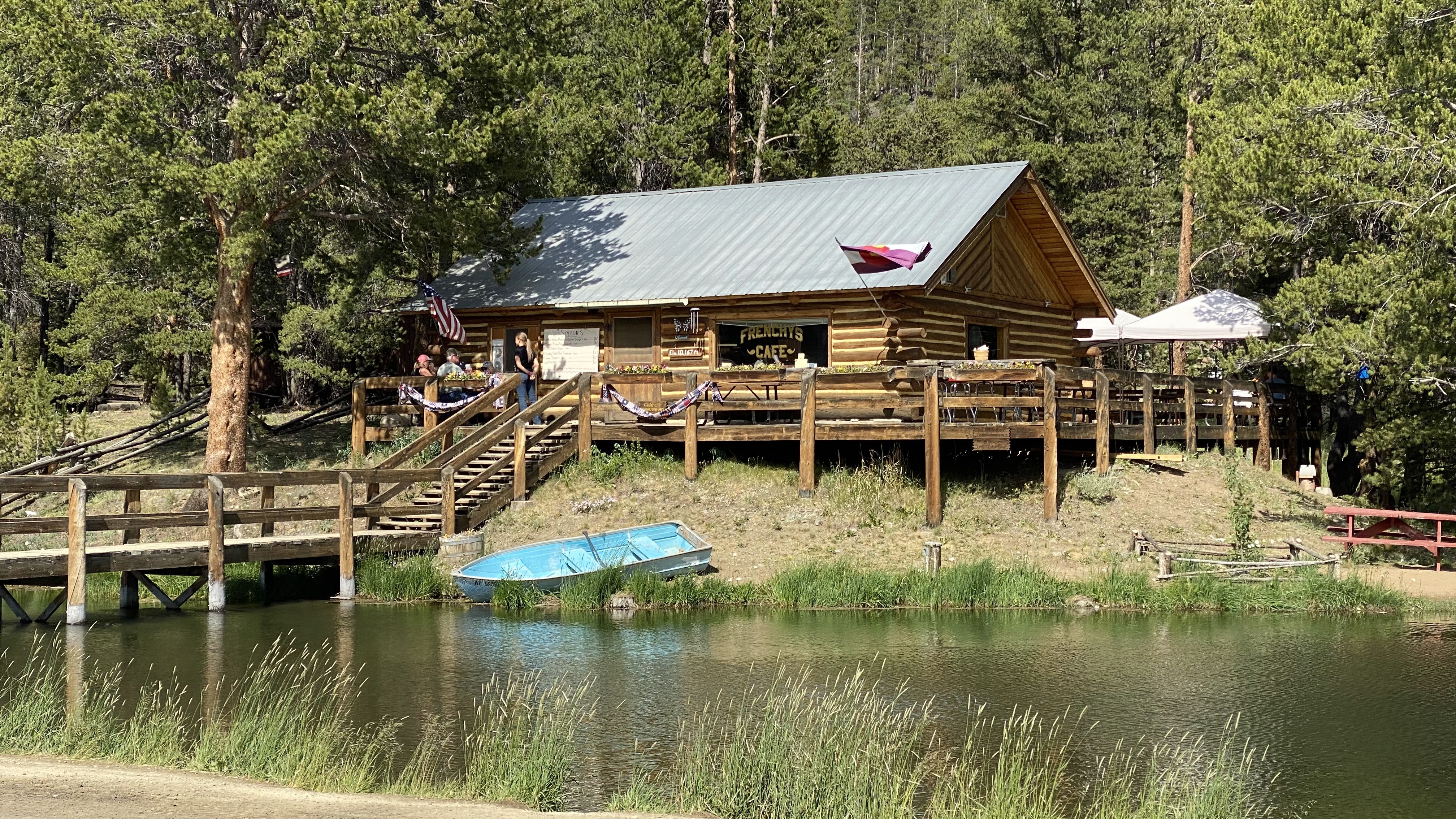
Awesome features of the campground include its immediate proximity to the Taylor River and Taylor Park Reservoir. Taylor Park is Mecca for the OHV crowd and there is a very rich network of 4×4 trails not only next to the campground but all over Taylor Park. The campground is situated on an alpine prairie making for perfect Starlink and DirectTV connectivity. The Taylor Park Trading Post is right down the road offering fuel, a restaurant and a modern RV park if you are so inclined. Despite access to some modern conveniences, this campground is still very remote. The nights are peaceful with glittery stars and crisp air. And it can’t be overstated, the views and ambience of the entire Taylor Park region are stunning, jaw dropping and humbling. For starters the drive down to Almont, the drive up to Tin Cup and the drive to Cottonwood Pass are all incredible. Not forgetting the water of course – swimming, fishing, etc. is allowed in the river and reservoir though there is an annoying barbed wire fence around the campground perimeter with only a few gates.
Not so awesome features of this campground include heavy overflow from nearby disbursed campers seeking water and bathroom access. The hosts are kept busy cleaning the potty for non guests, which doesn’t seem fair. If you aren’t into the OHV scene the massive number of triple towed rigs and constant buzzing of the vehicles (along with their dust) can be a real turn off. There is no dedicated mountain biking here though I was able to map out some satisfying rides on the OHV forest roads, especially the offshoots like 755.1D and 755.1E. The drivers were considerate so you can ride as long as you don’t mind exhaust and dust.
Our Starlink connection here has averaged 177Mbps down and 9Mbps up. As mentioned previously we were able to select a site with no obstructions and enjoyed excellent service for the duration of our stay. The wind is VERY strong here, often with gusts over 19mph so we kept the dish low.


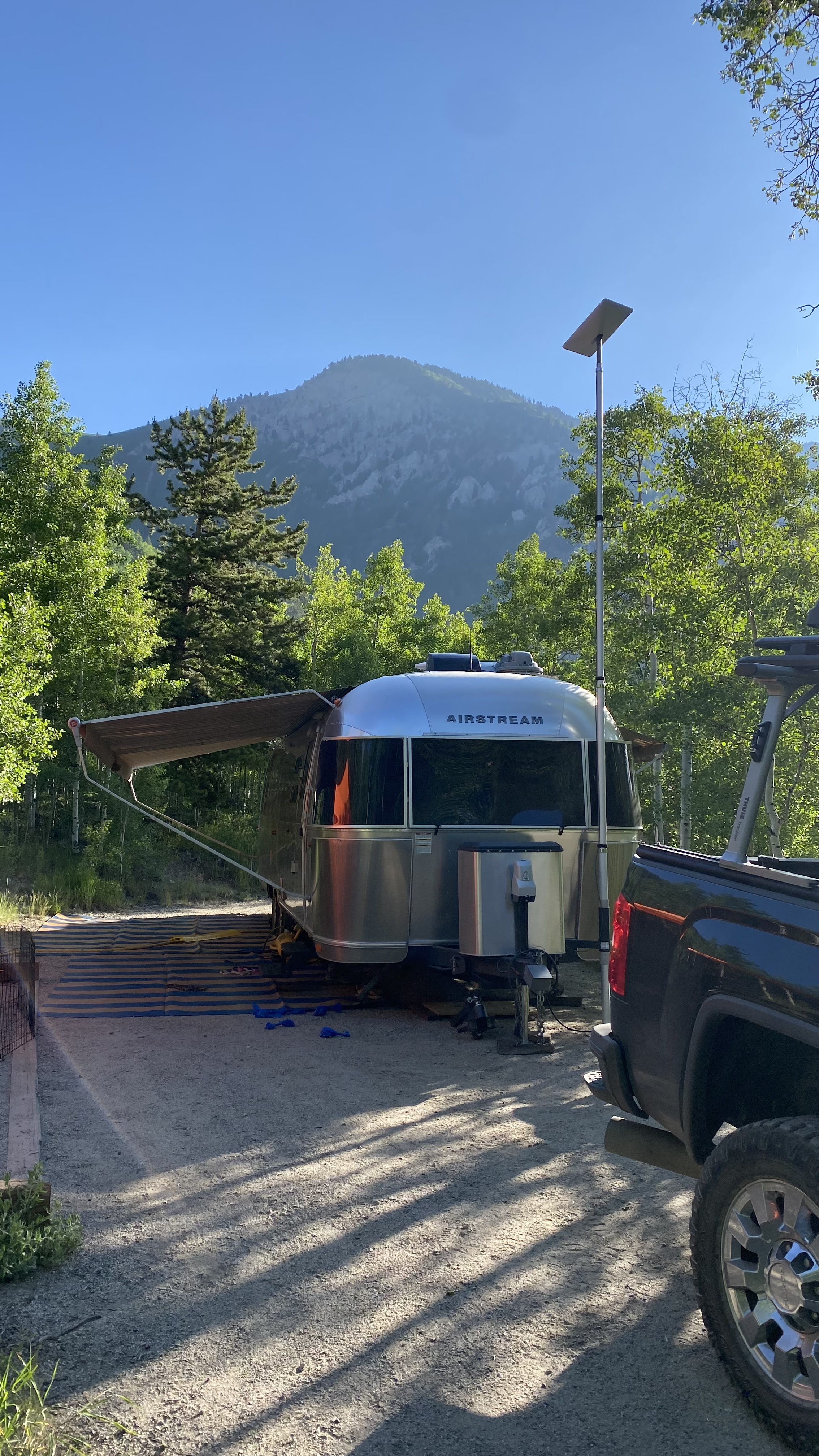
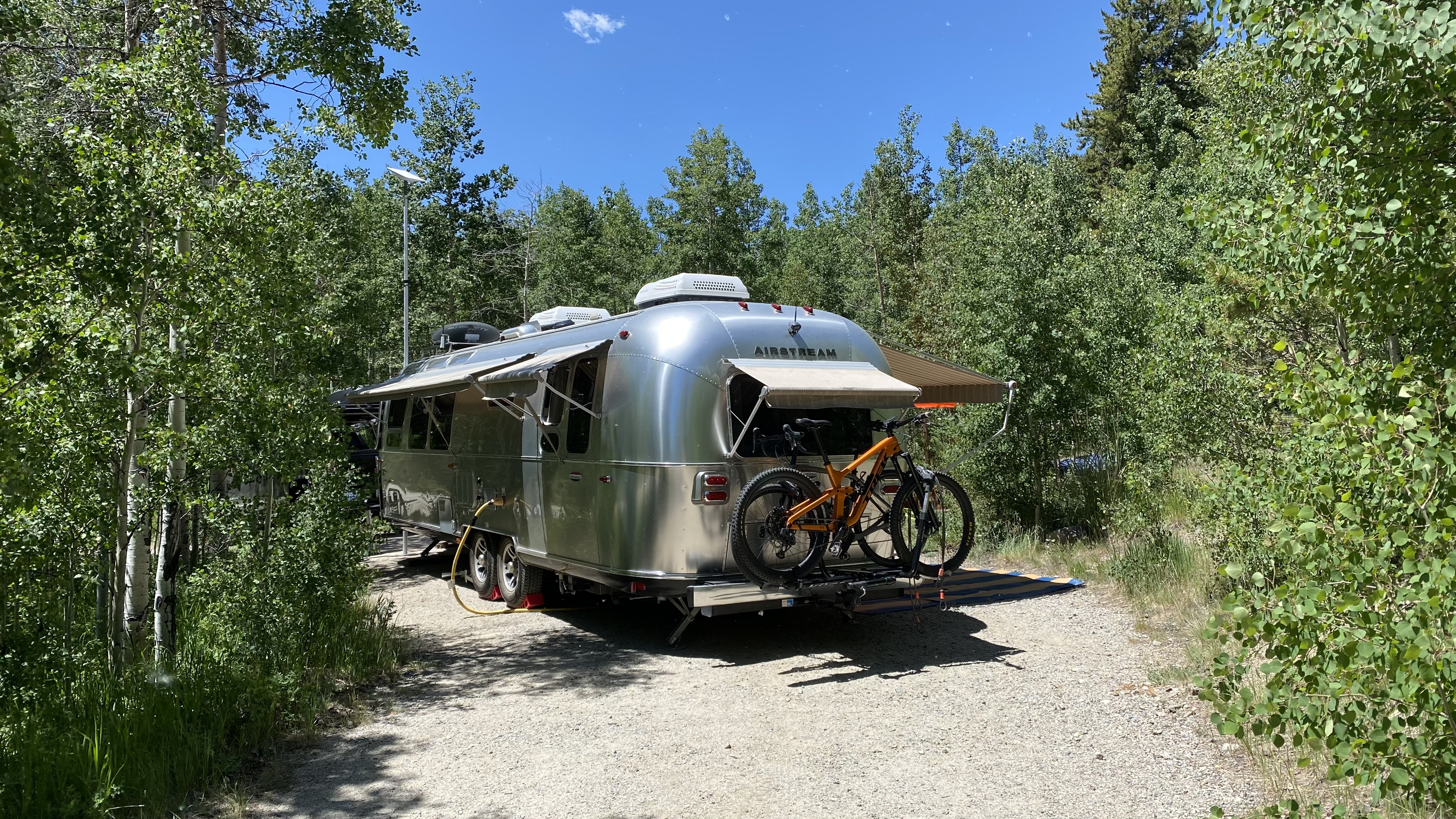
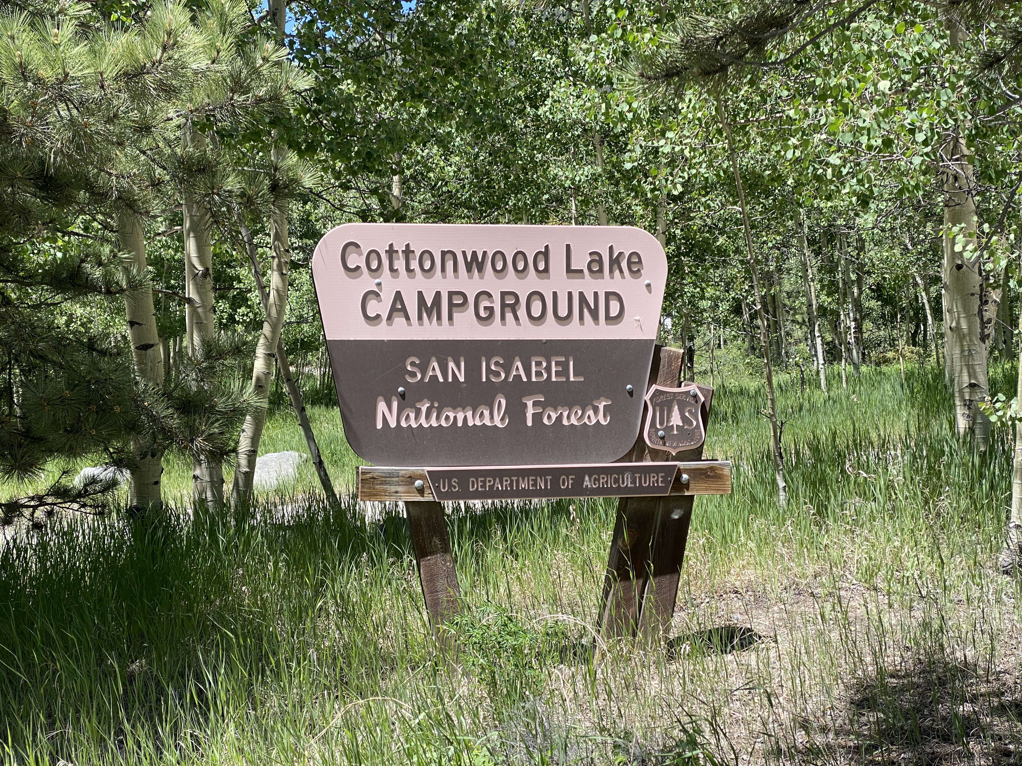
Cottonwood Lake Campground, Buena Vista Colorado
Cottonwood Lake Campground is a modern and well-maintained retreat located about 30 minutes west of Buena Vista Colorado in the Pike-San Isabel National Forest. Tipping the scales at a healthy altitude of 9,650′ this campground offers 25 sites, many of which will accommodate larger trailers such as our 30′ Airstream. Nightly fee is $20 with the standard limit of 14 days.
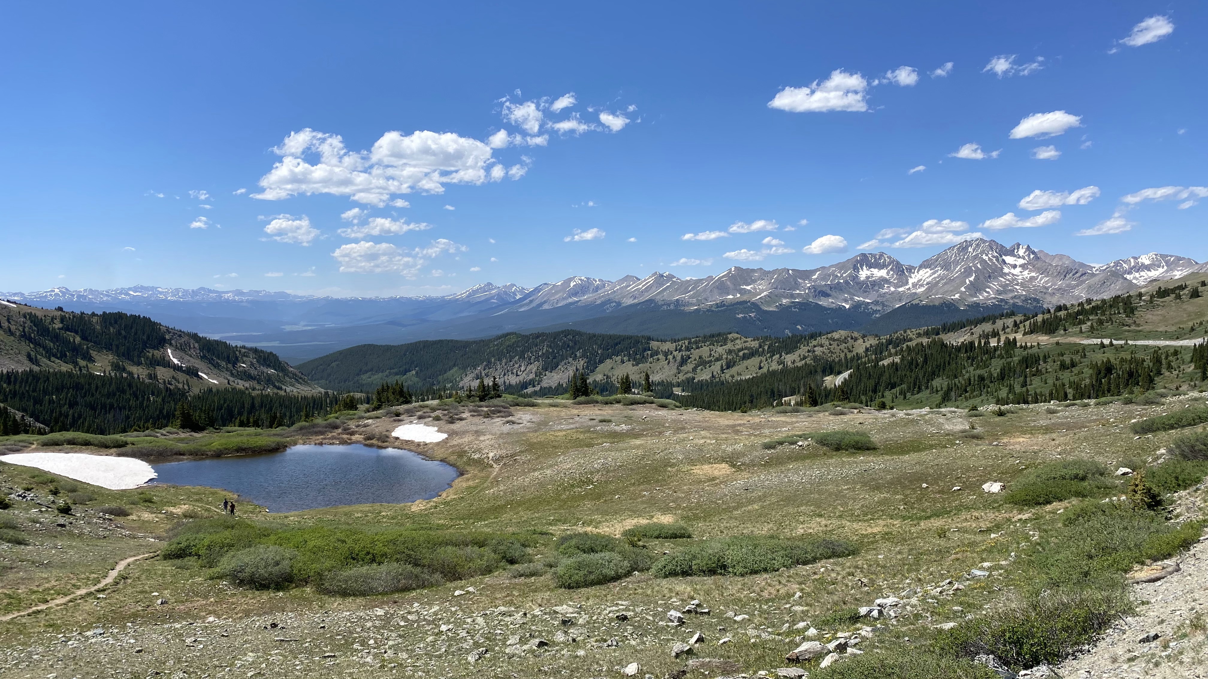
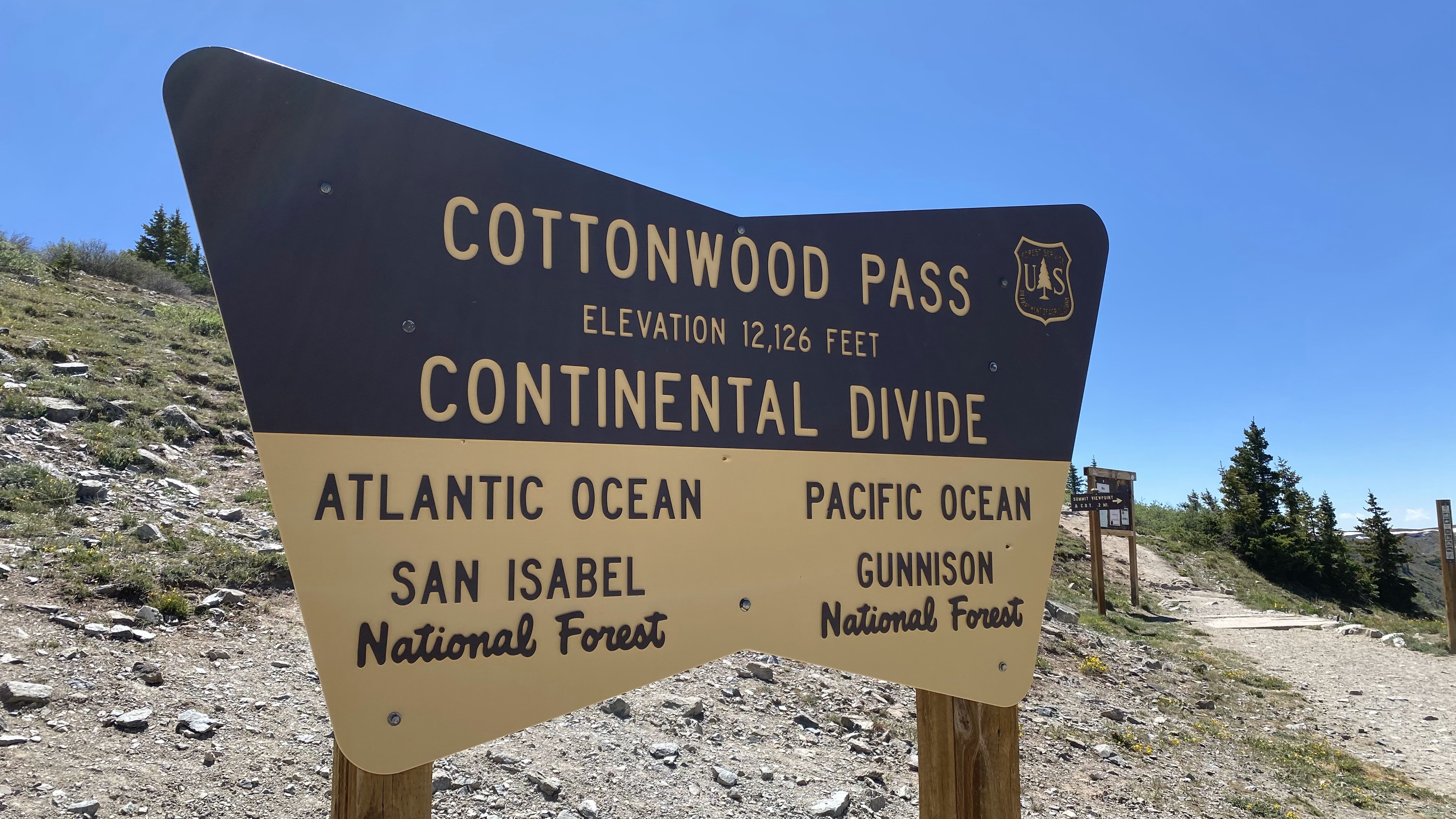
Awesome features of the campground include its proximity to Cottonwood Lake, access to an extensive network of 4×4 trails and truly stunning views. Sites are compact gravel, level, generously long, and surrounded by gorgeous young aspen. The bathrooms are unusually clean and there is regular garbage service. Generator hours are utterly reasonable between 6AM – 10PM. The quick drive time to Buena Vista makes it a snap to pick up groceries and take care of that inevitable pesky laundry. It’s always fun to dip into the funky Colorado mountain town scene and there are many fine restaurants to explore in “BV”. Finally, a quick jaunt up state highway 306 offers a breathtaking view of Taylor Park from the top of Cottonwood Pass, considered by some to be the most iconic vista in Colorado.
Not so awesome features of this campground include a high amount of traffic on the very dusty FR 344, somewhat aggressive drivers and poor accessibility to any mentionable mountain biking. Water is also unavailable and we have found the campground and surrounding disbursed areas to very heavily used on the weekends. There is a curious dearth of immediate dedicated trails by the campground (with the exception of a wildlife viewing path), though with a little driving the Colorado Trail Segment 13, Mt. Yale, Ptarmigan Lake, Continental Divide Trail, and Lost Lake can be hiked.
Our Starlink connection here has averaged 133Mbps down and 6.9Mbps up. We were able to select a site with no obstructions and enjoyed excellent service for the duration of our stay. The wind can be very strong here in the afternoons and we did experience a few involuntary flagpole retractions.


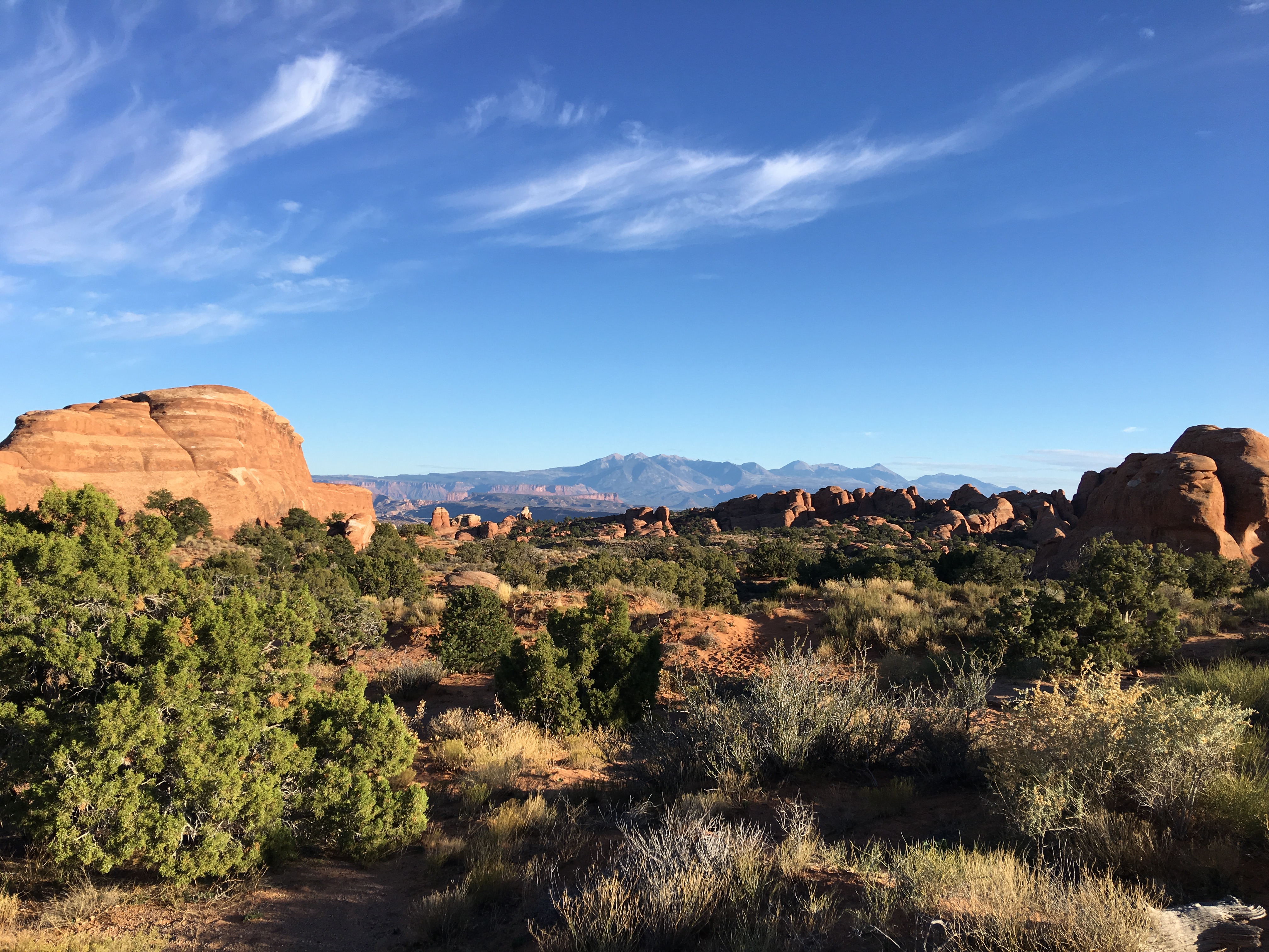
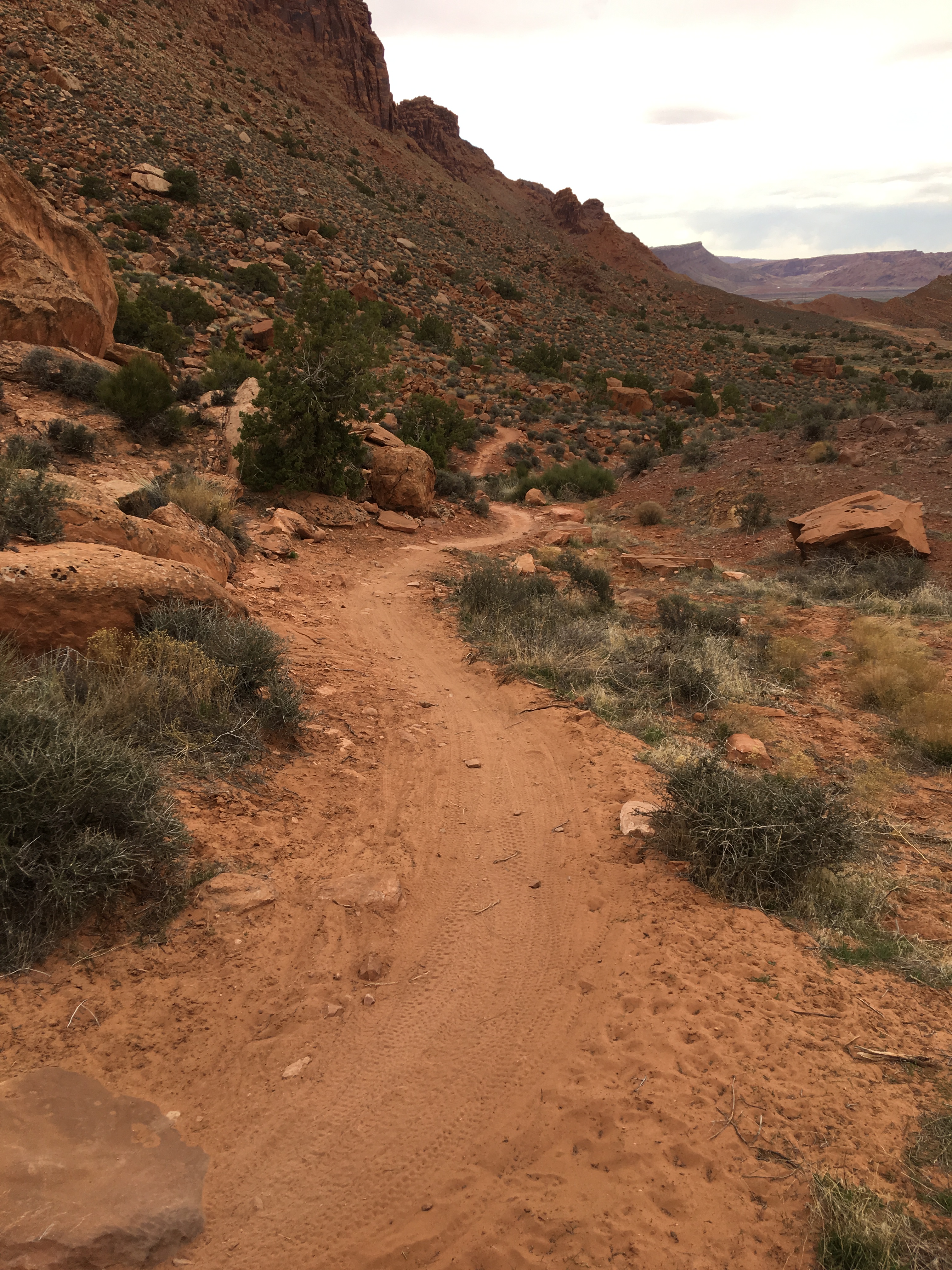
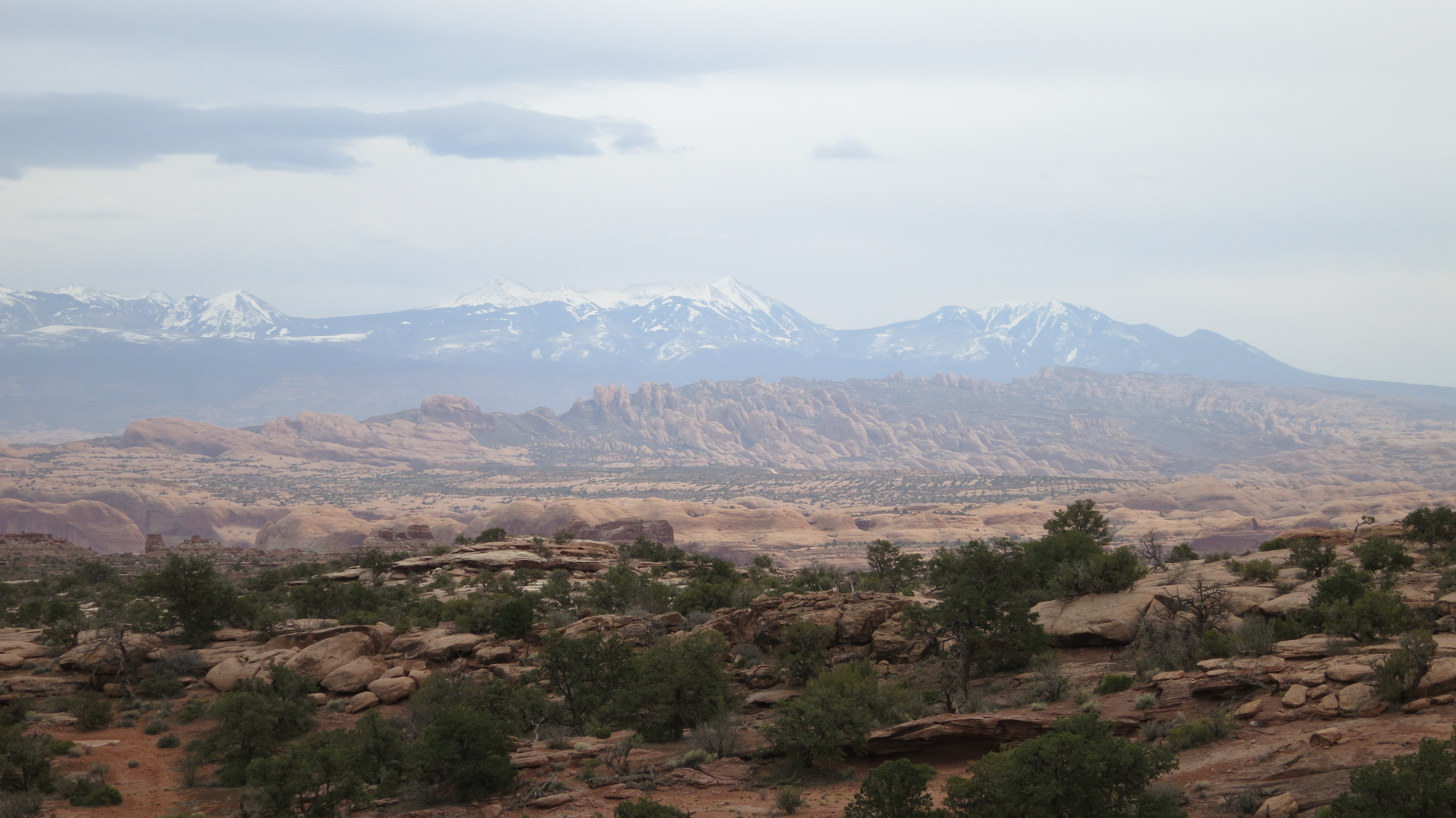
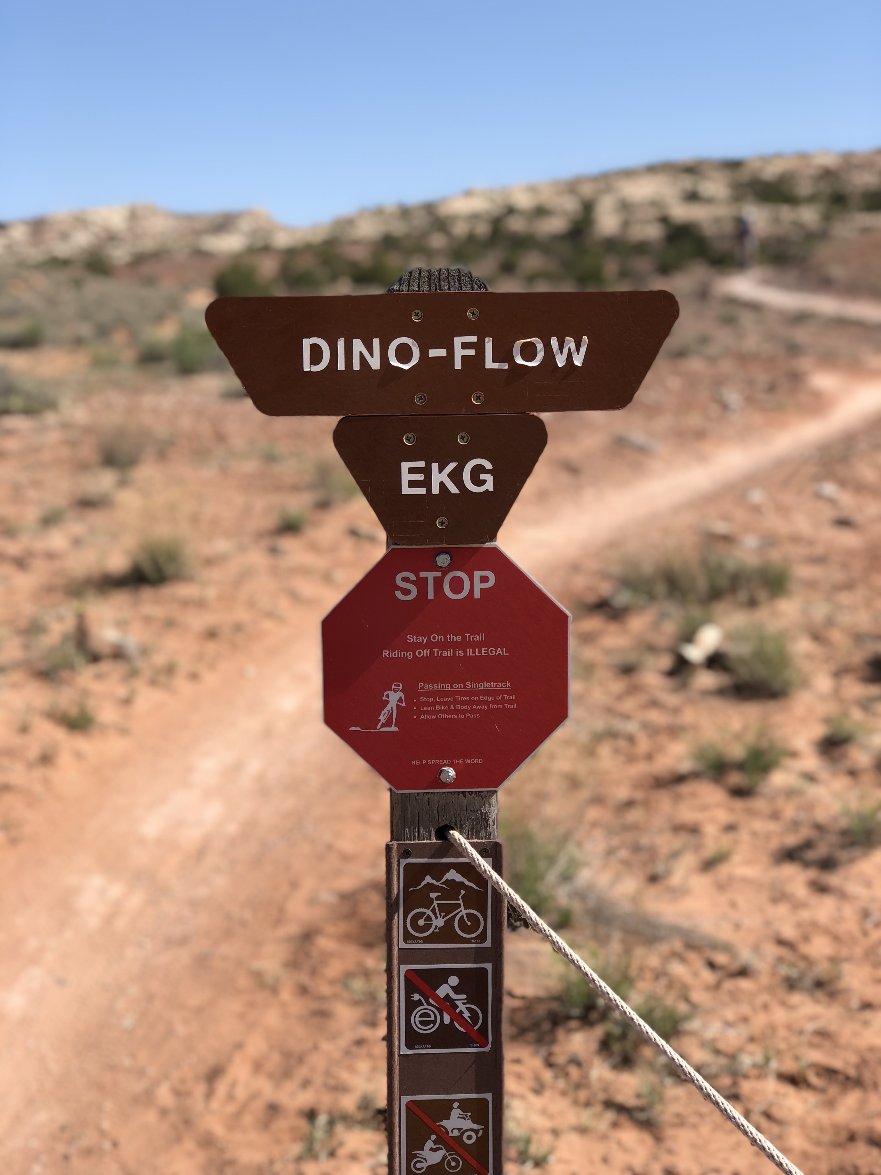
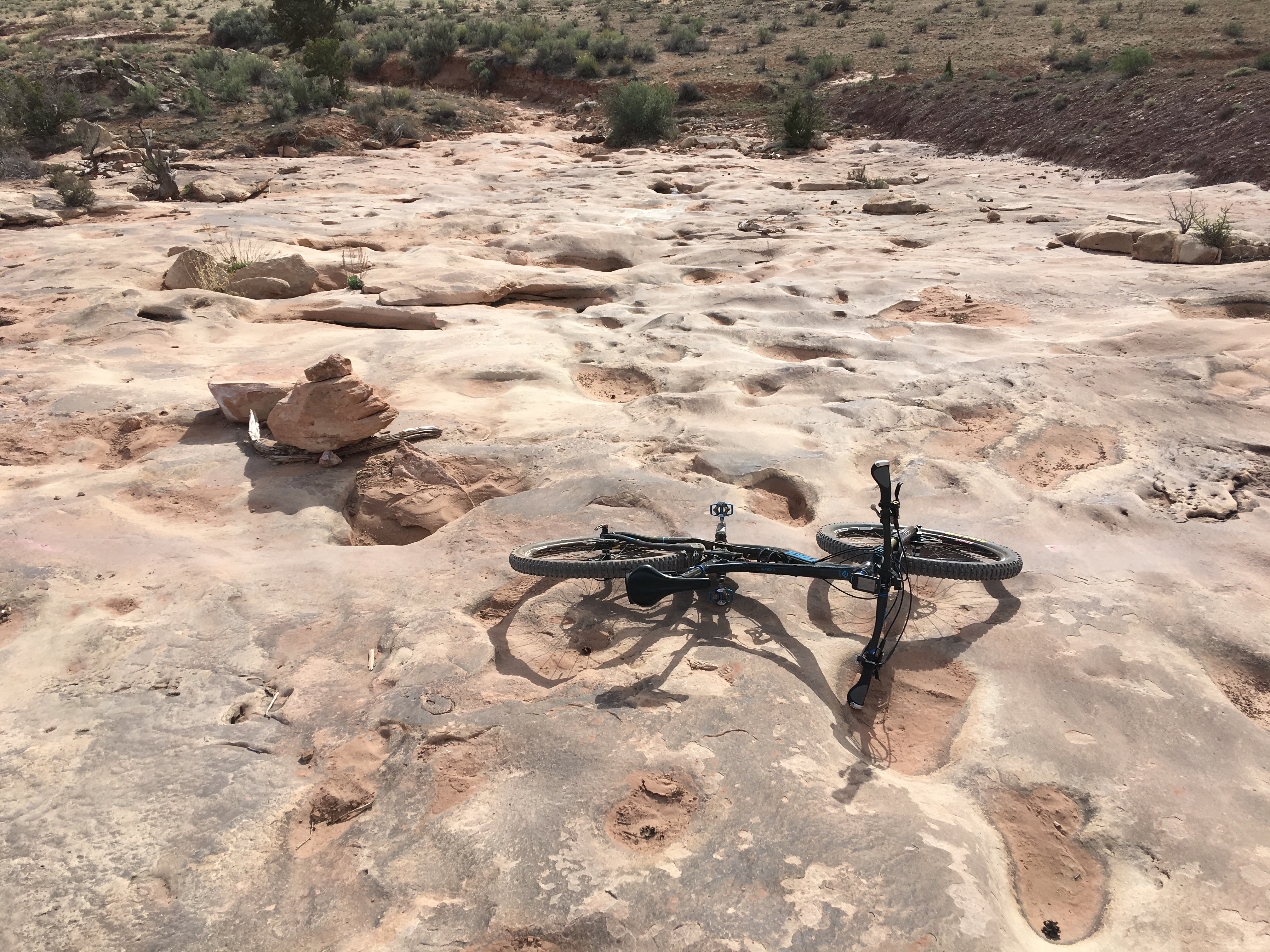
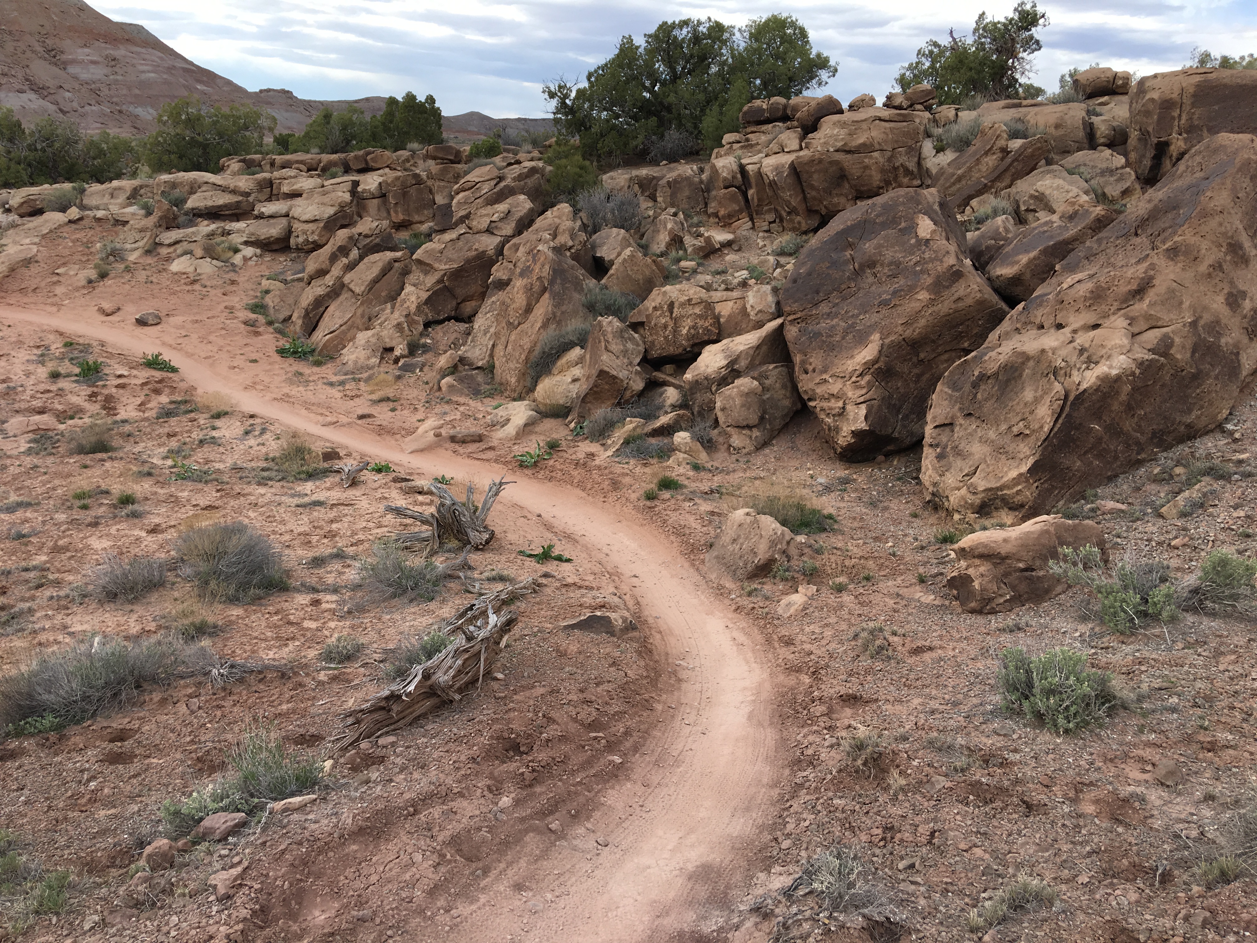
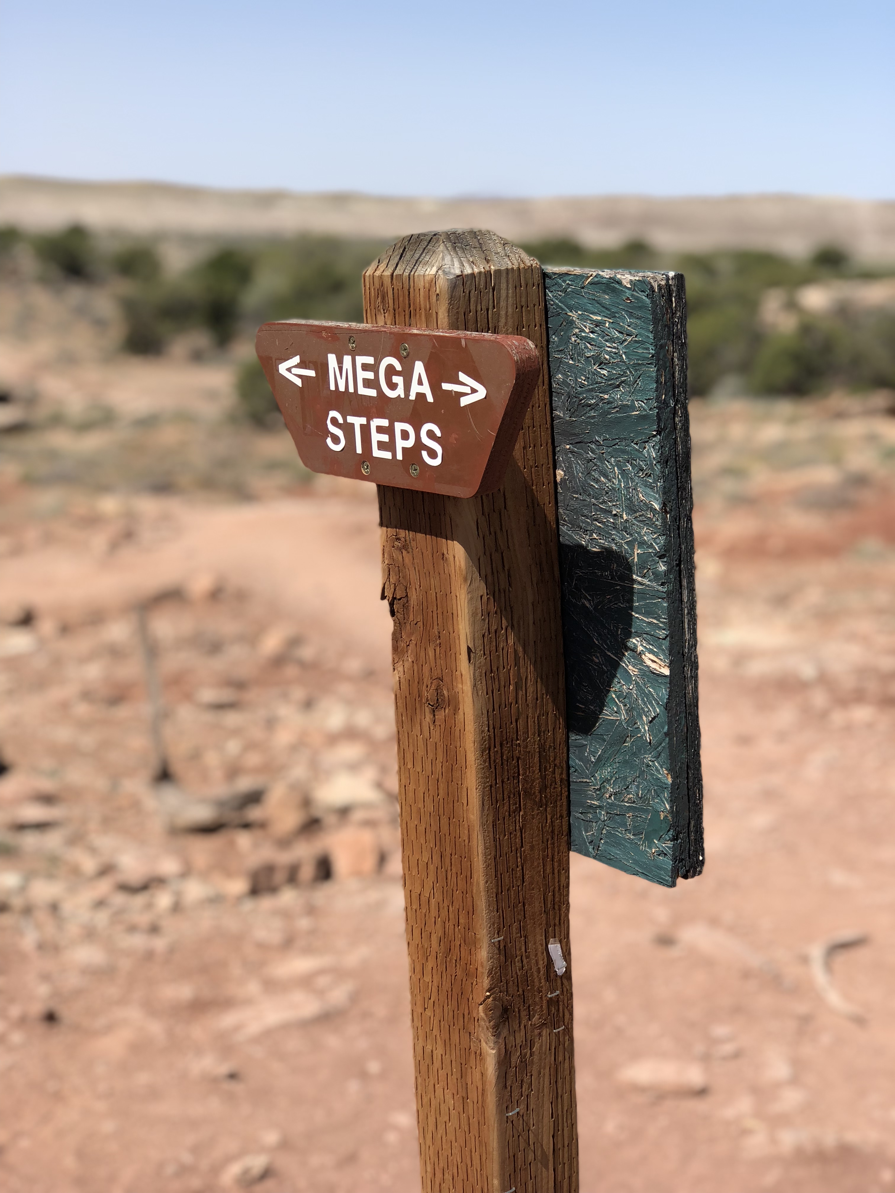
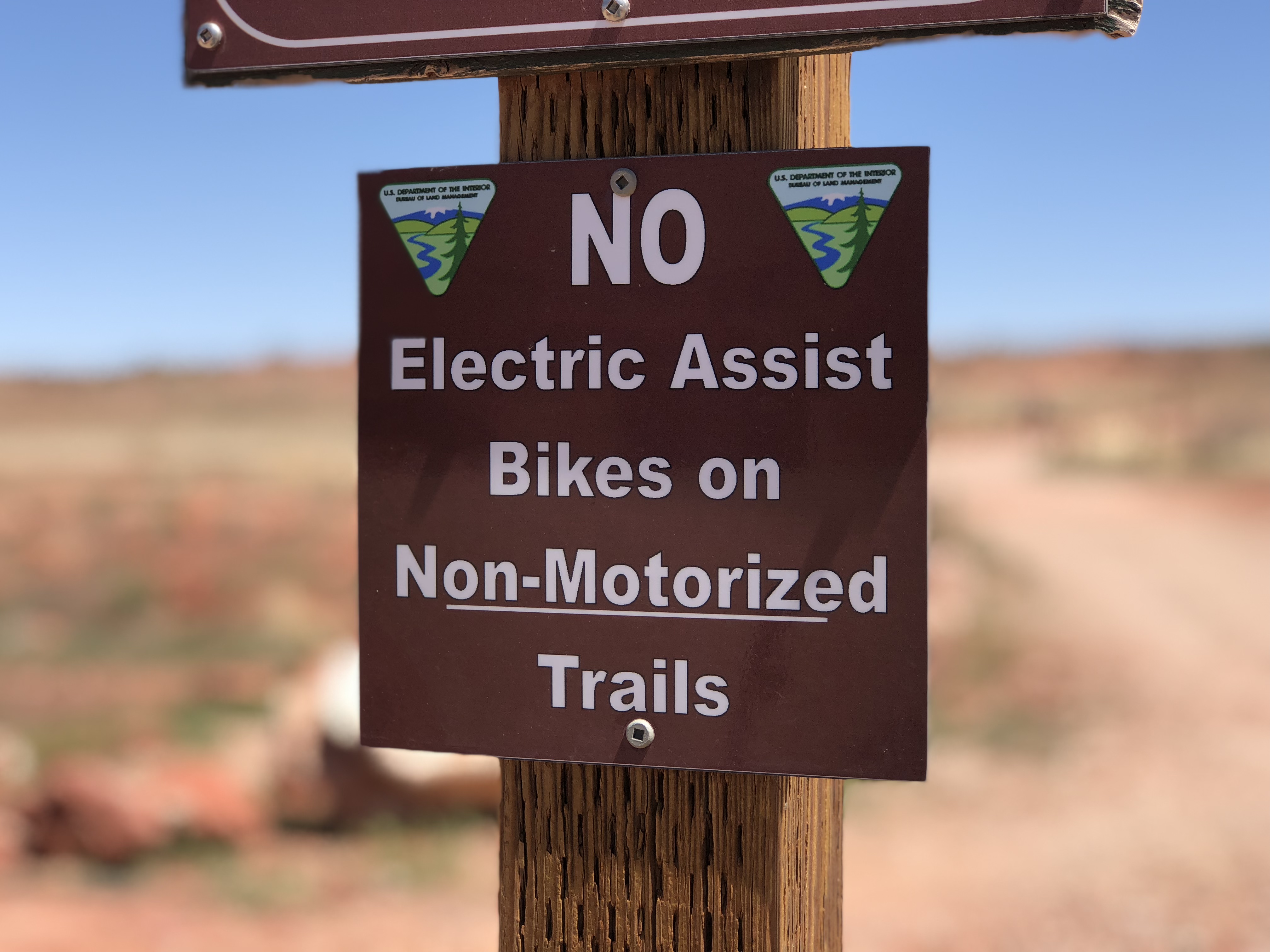
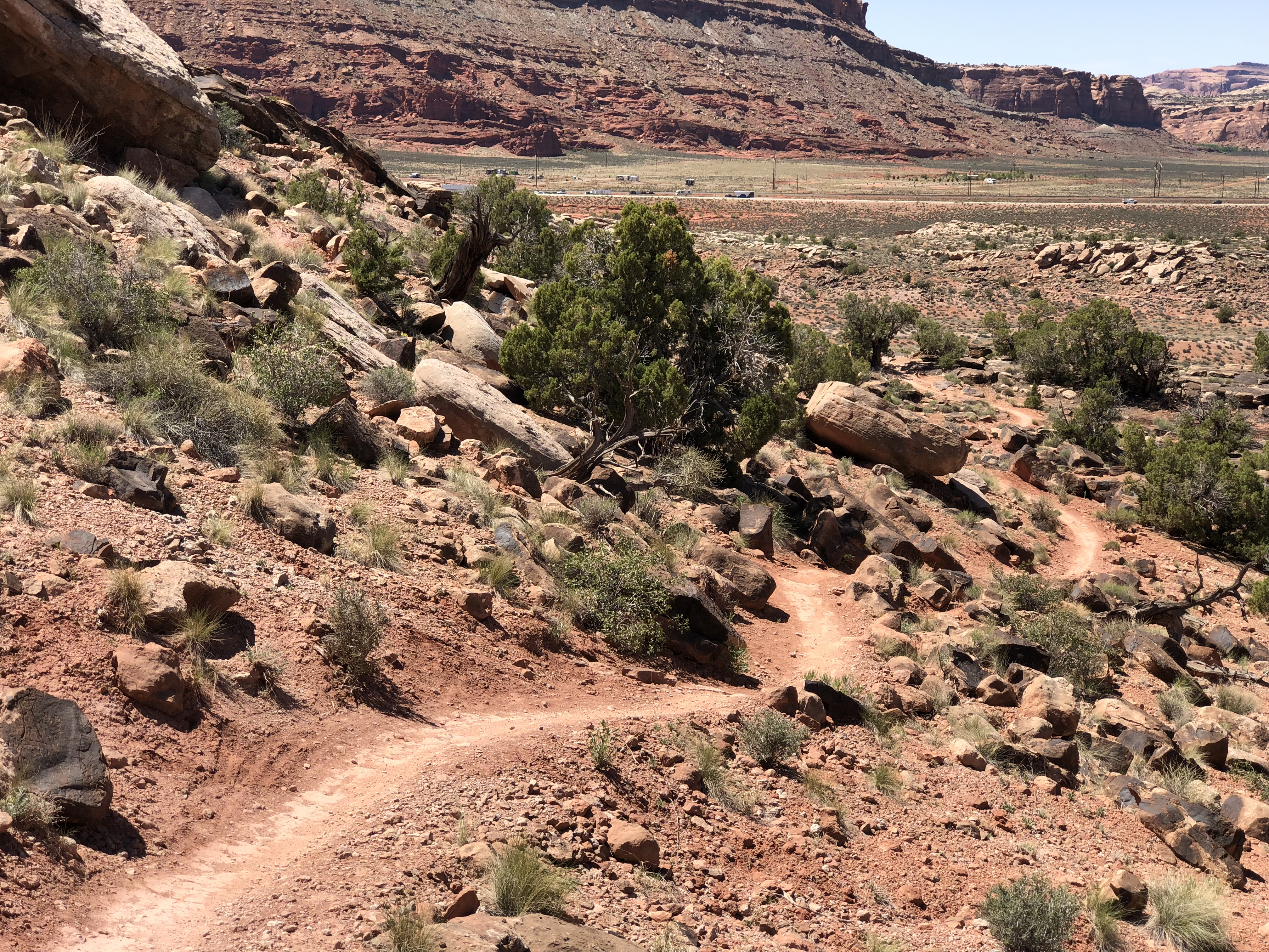
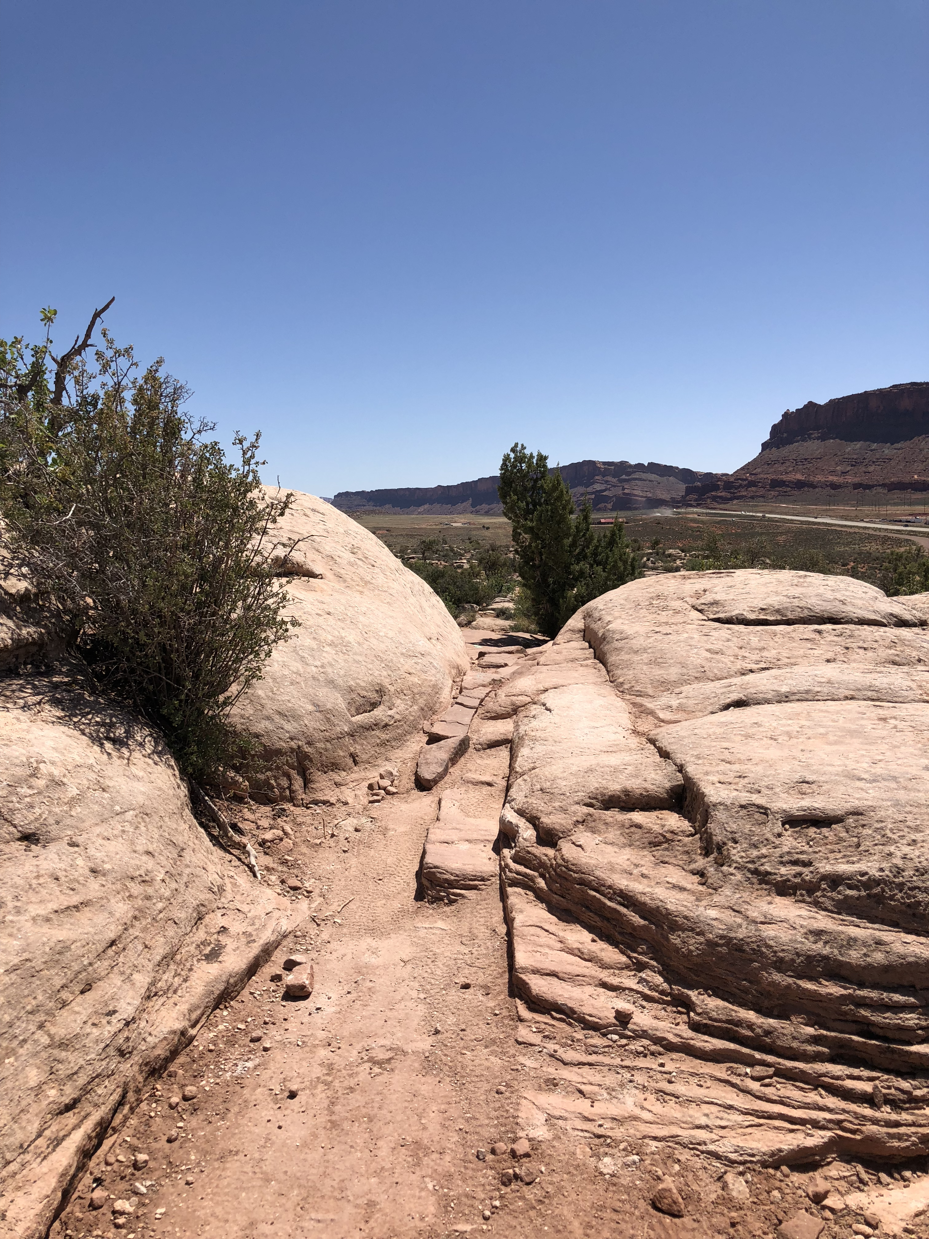
Pack Creek Campground, Moab Utah

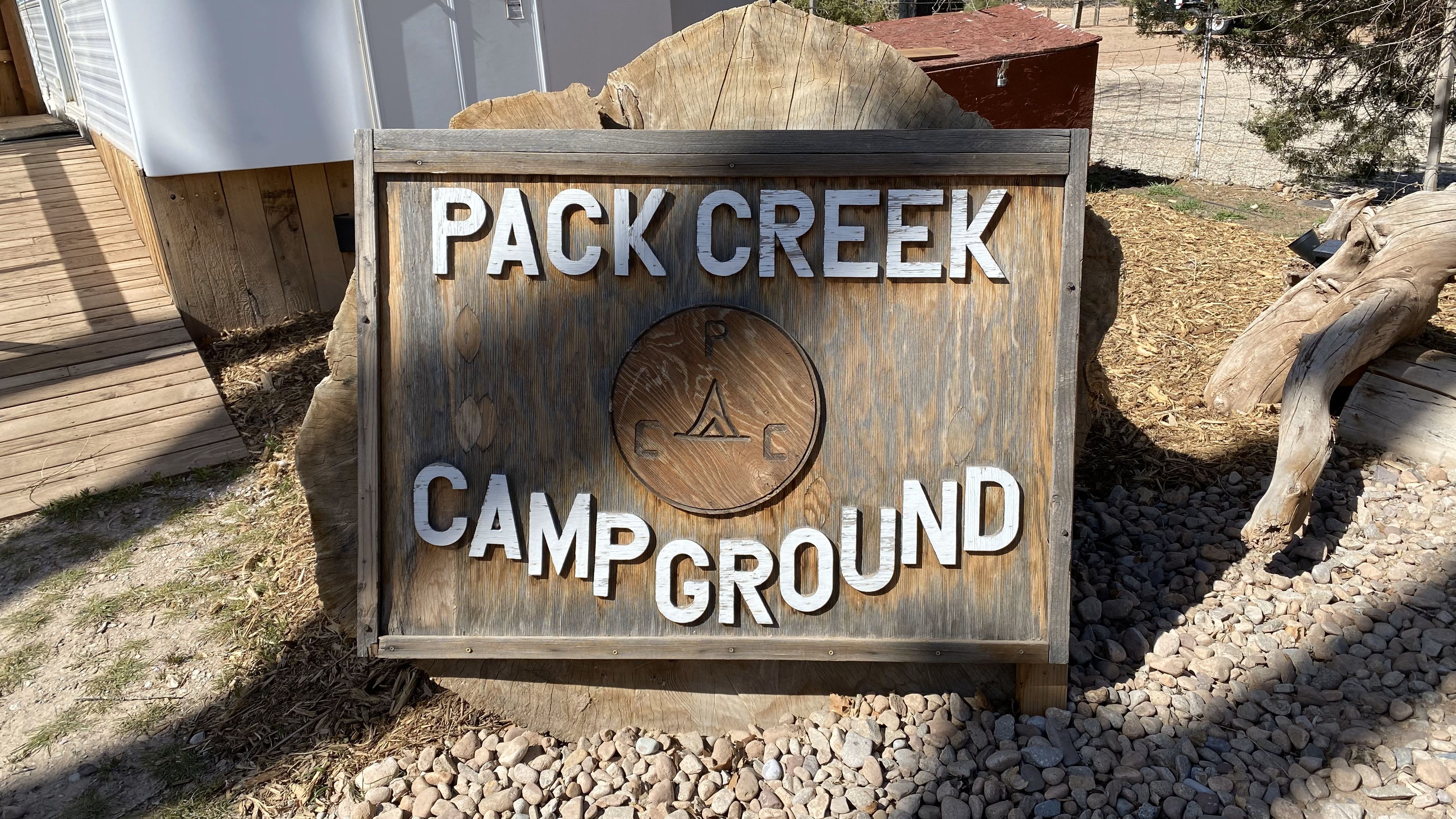
Pack Creek Campground is a sleepy RV park in central Moab that we’ve been visiting for years. They offer fair rates and full hookups and it’s conveniently located for all things Moab, especially mountain biking. The park has pleasant trees and a meandering creek in the back that often draws deer and other wildlife.
Our Starlink connection here has been very good, averaging ~100Mbps down and ~9Mbps up. It’s early April at the time of this writing so the trees are bare and we’ve experienced no obstructions.
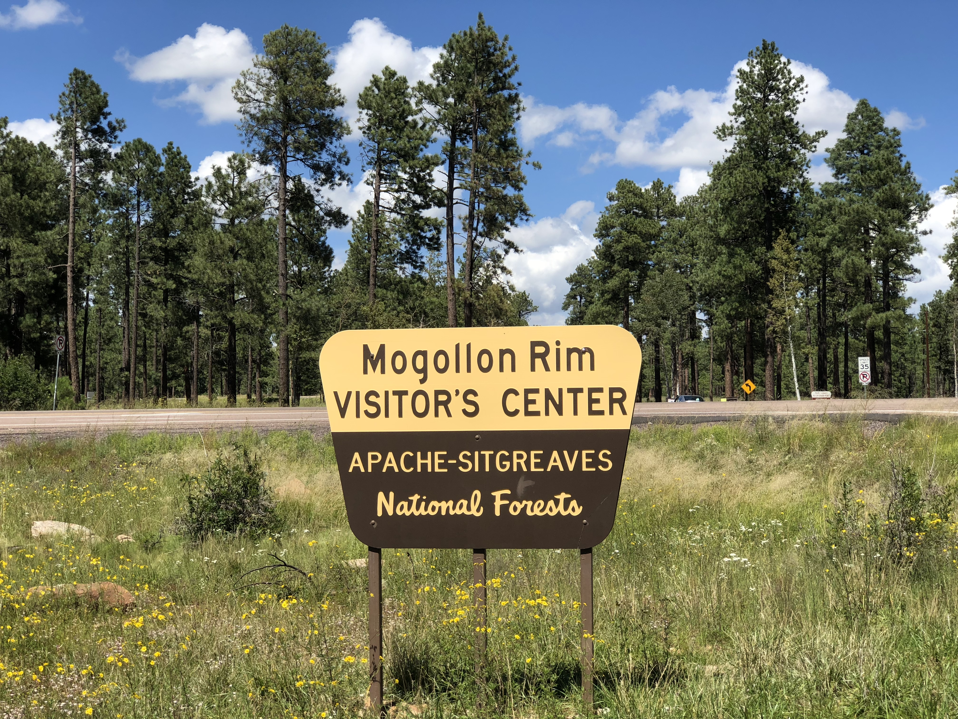
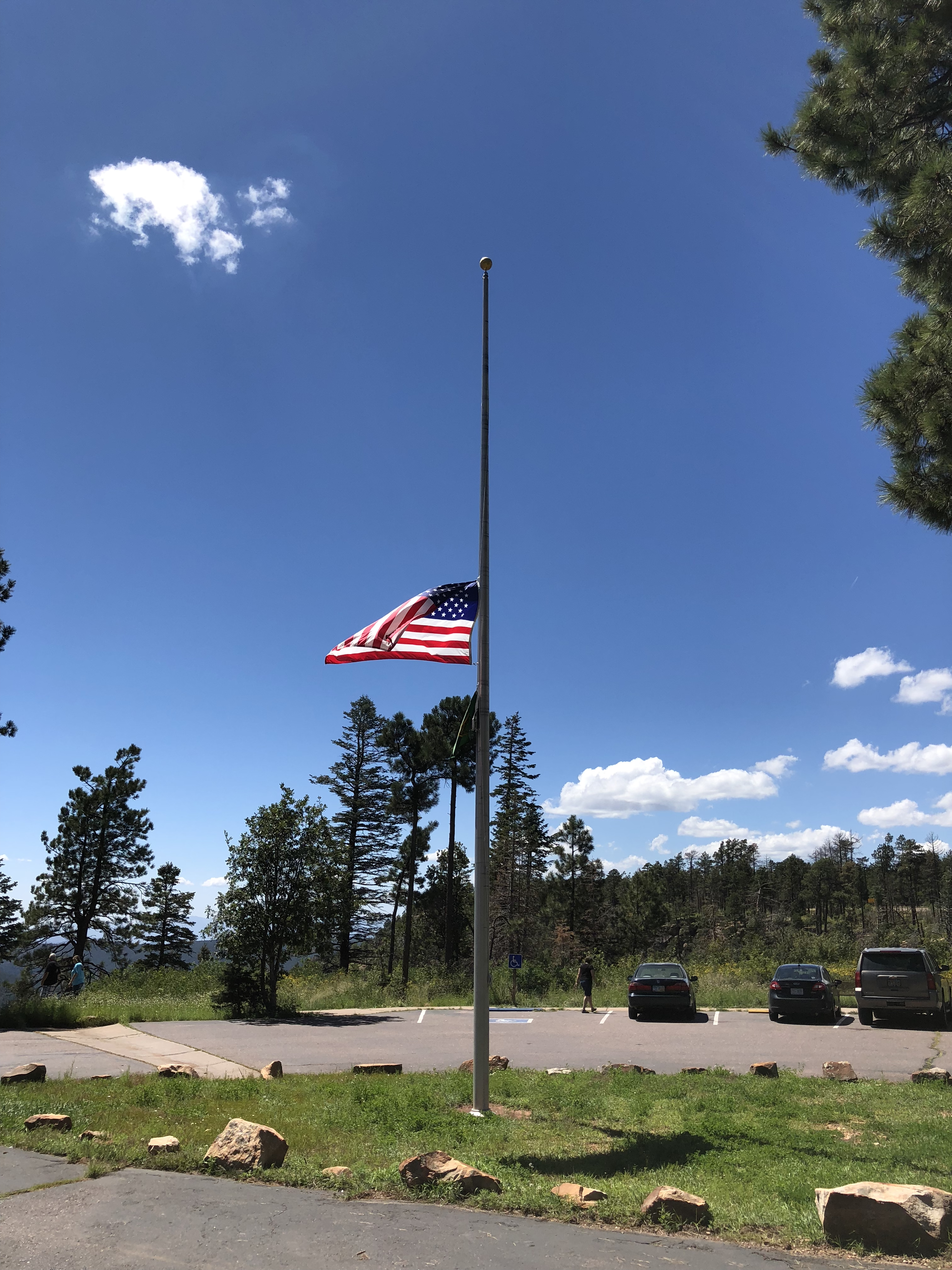
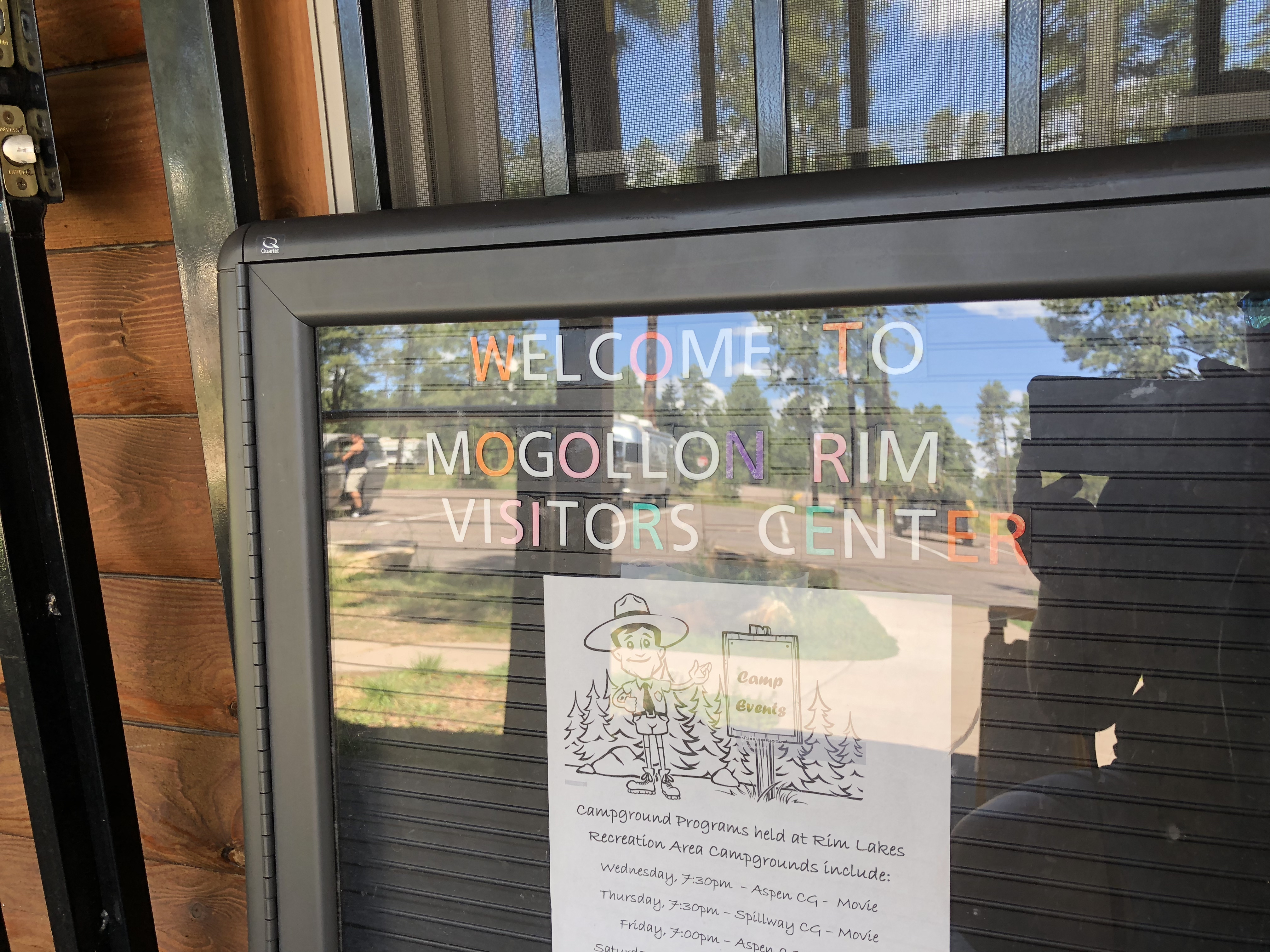
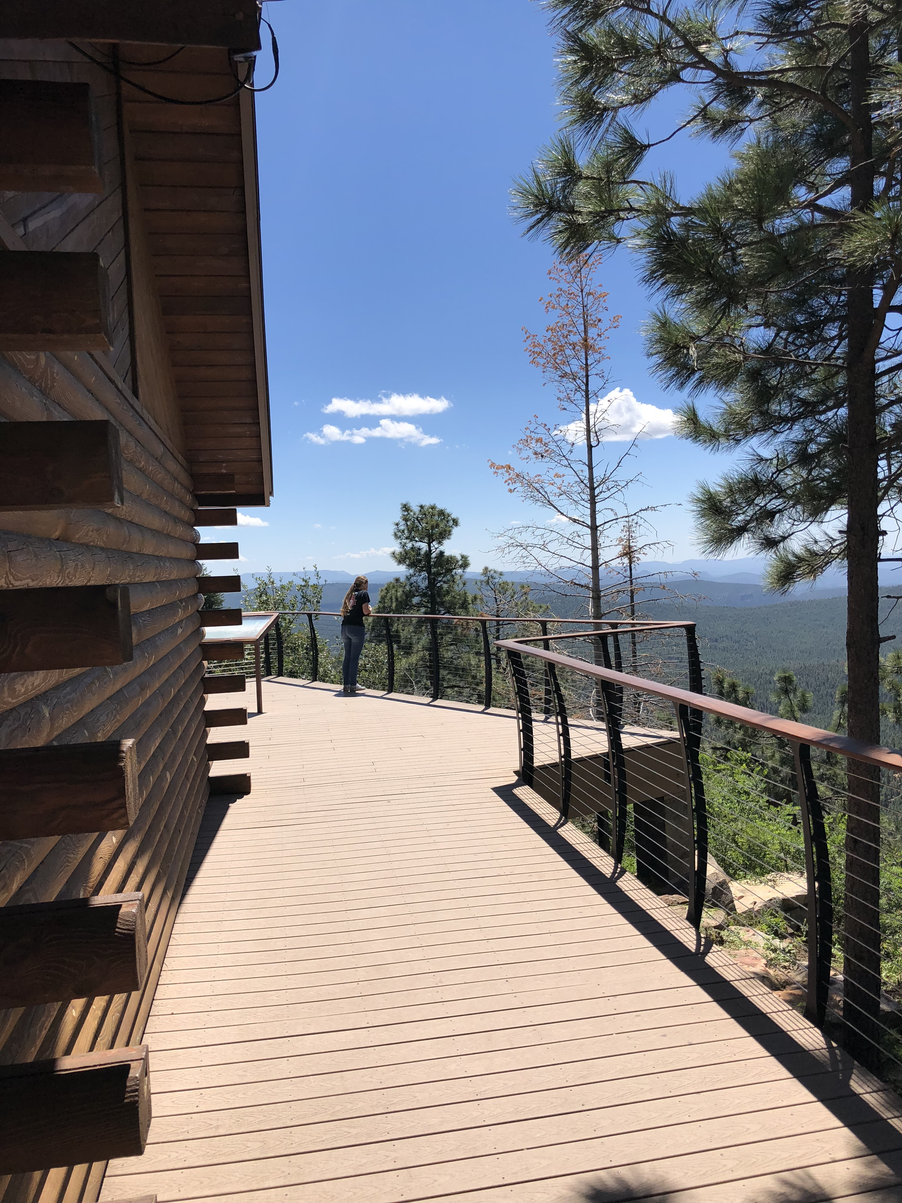
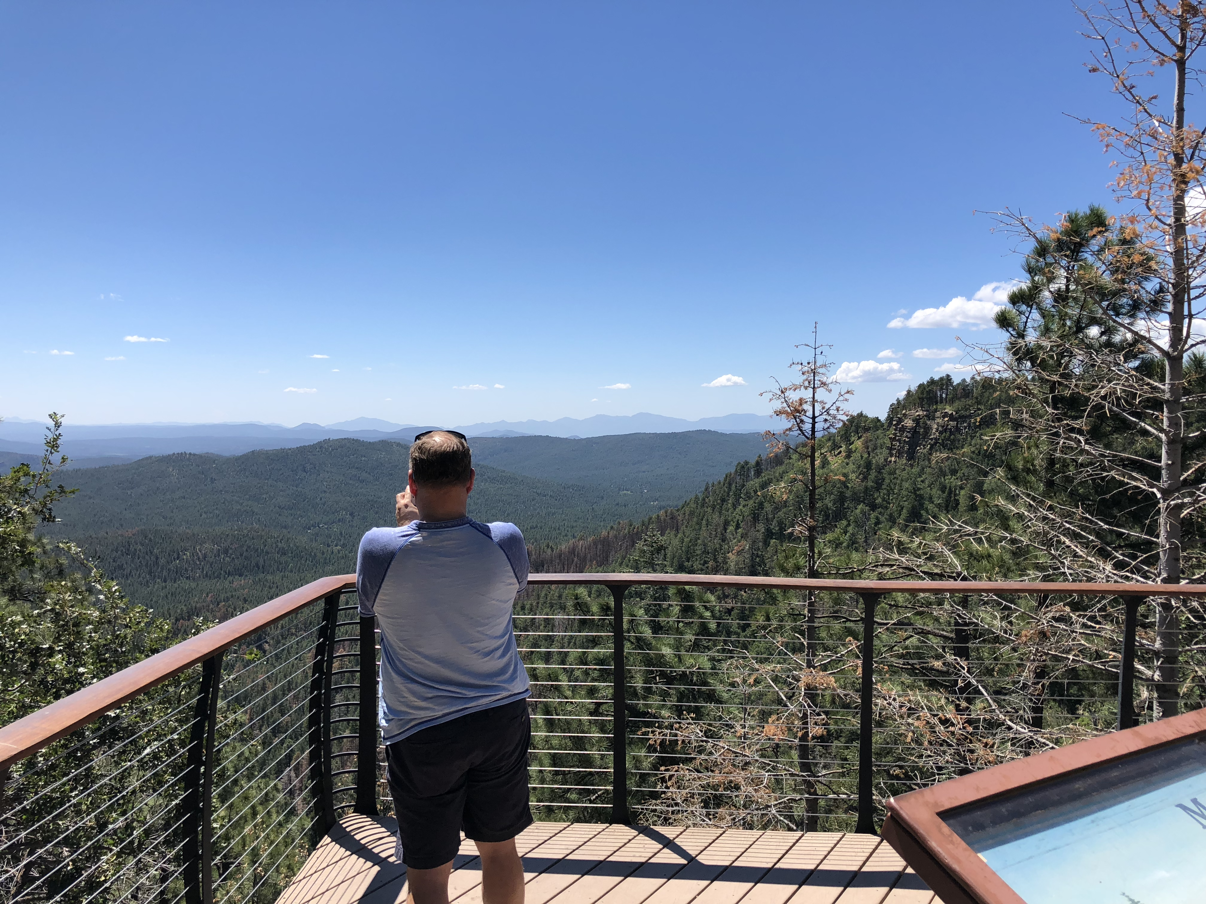
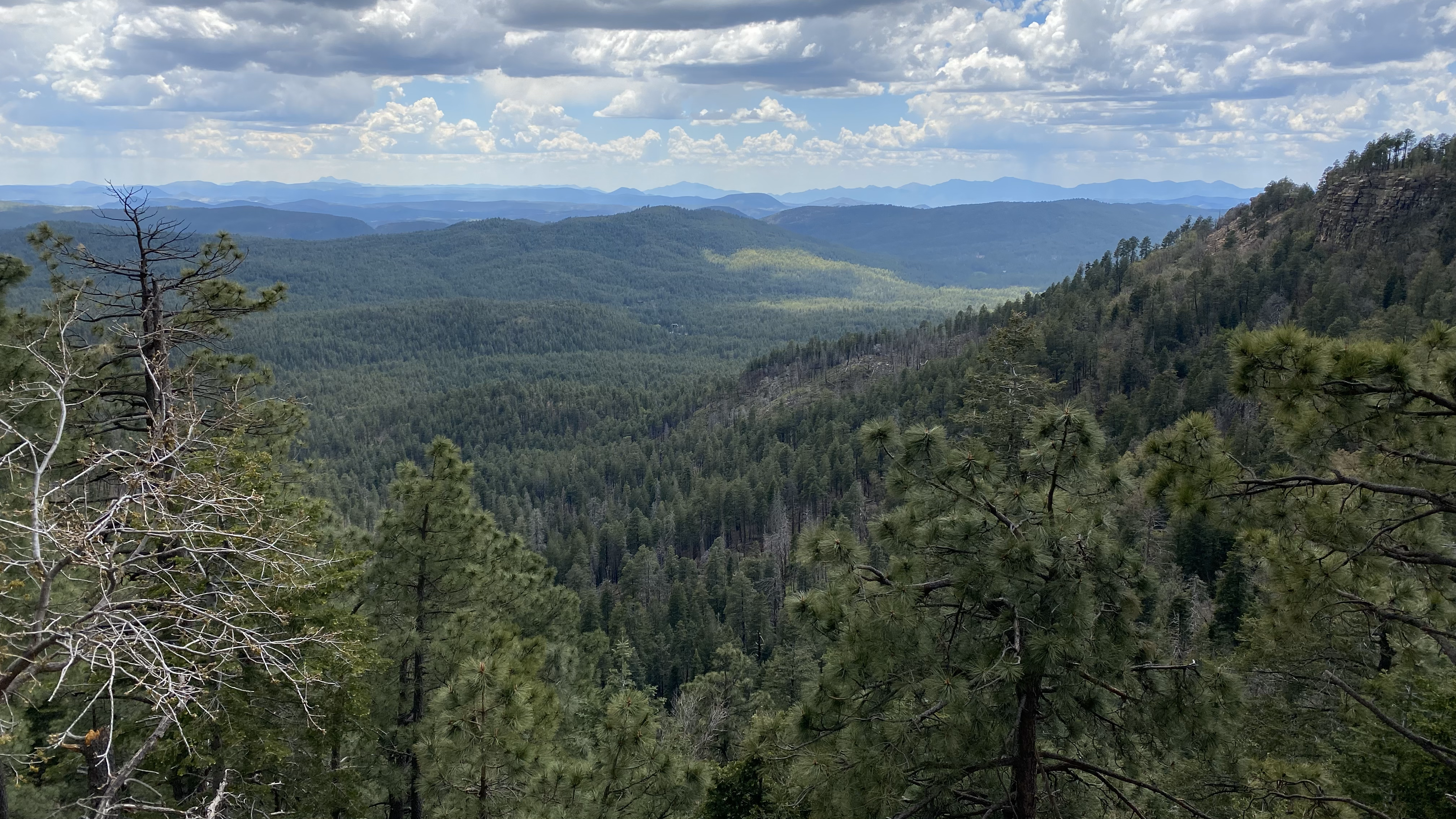
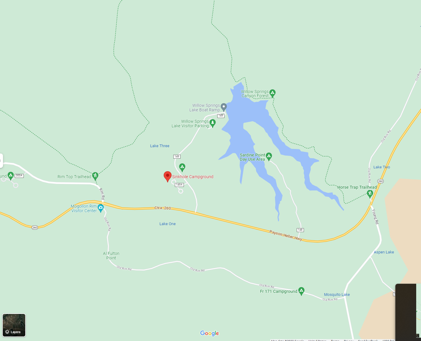
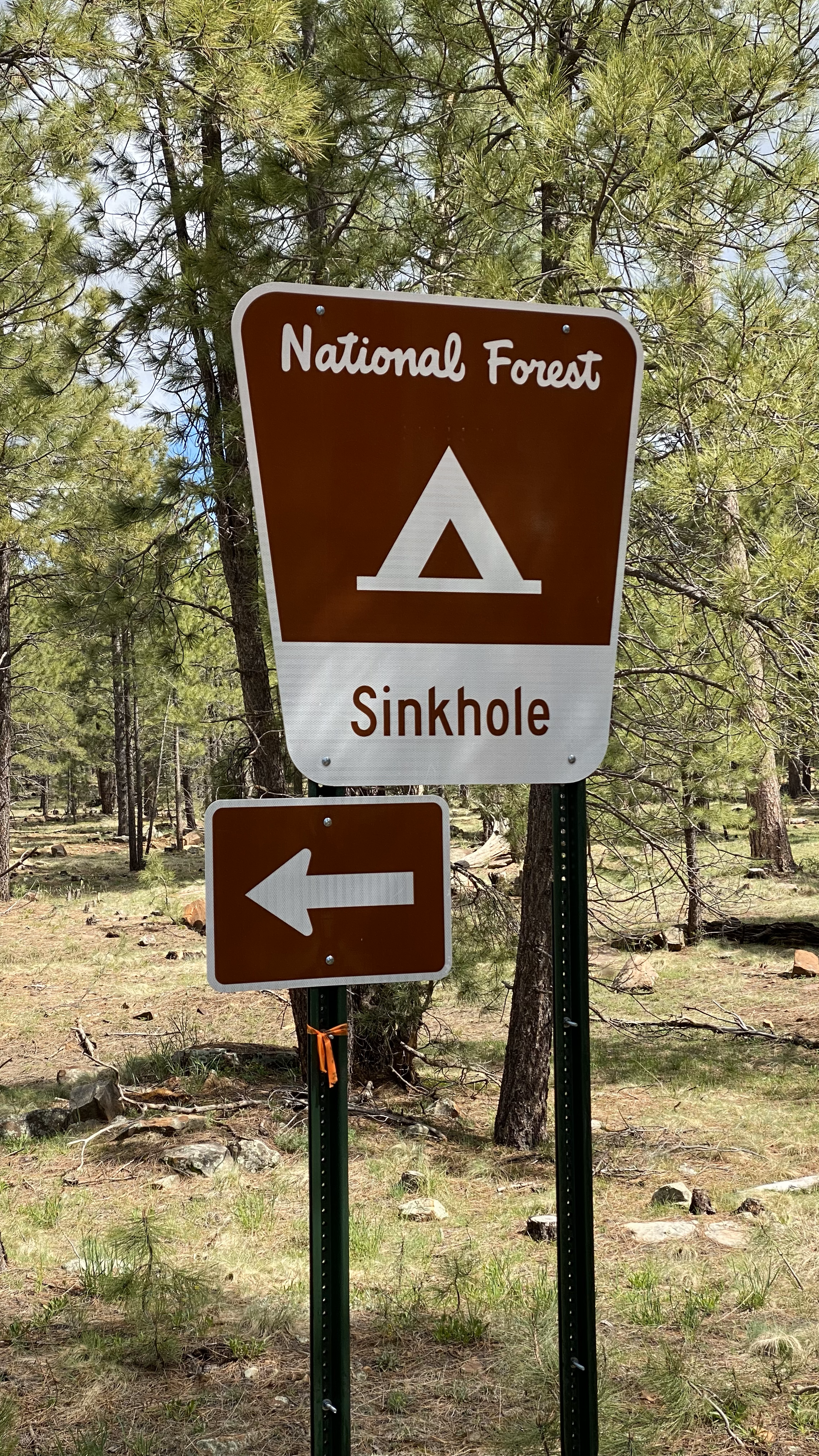
Sinkhole Campground, Payson Arizona
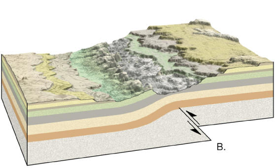
Sinkhole Campground is a small national forest campground located about two hours west of Phoenix and a half hour west of Payson. This campground is perched on the Mogollon Rim at 7,500′ and easily characterized by a gorgeous flow of tall ponderosa pine that carpet the mountains in all directions.
Awesome features of this campground include access to a wide range of recreation activities including kayaking on the nearby Willow Springs Lake, hiking in and around the titular sinkhole and, most importantly, its access to an extensive mountain bilking trail system. Sites are paved, level, and generously long. The bathrooms are clean and there is potable water at the entrance.
Not so awesome features of this campground include proximity to the AZ 260 highway, which is remarkably noisy. Additionally, some of the driveways immediately abut one another in doubles, leading to startlingly intimate camping with neighbors. It isn’t obvious to me on the booking site how to identify sites like this but fortunately for us we met some great people so the intimacy wasn’t a problem.
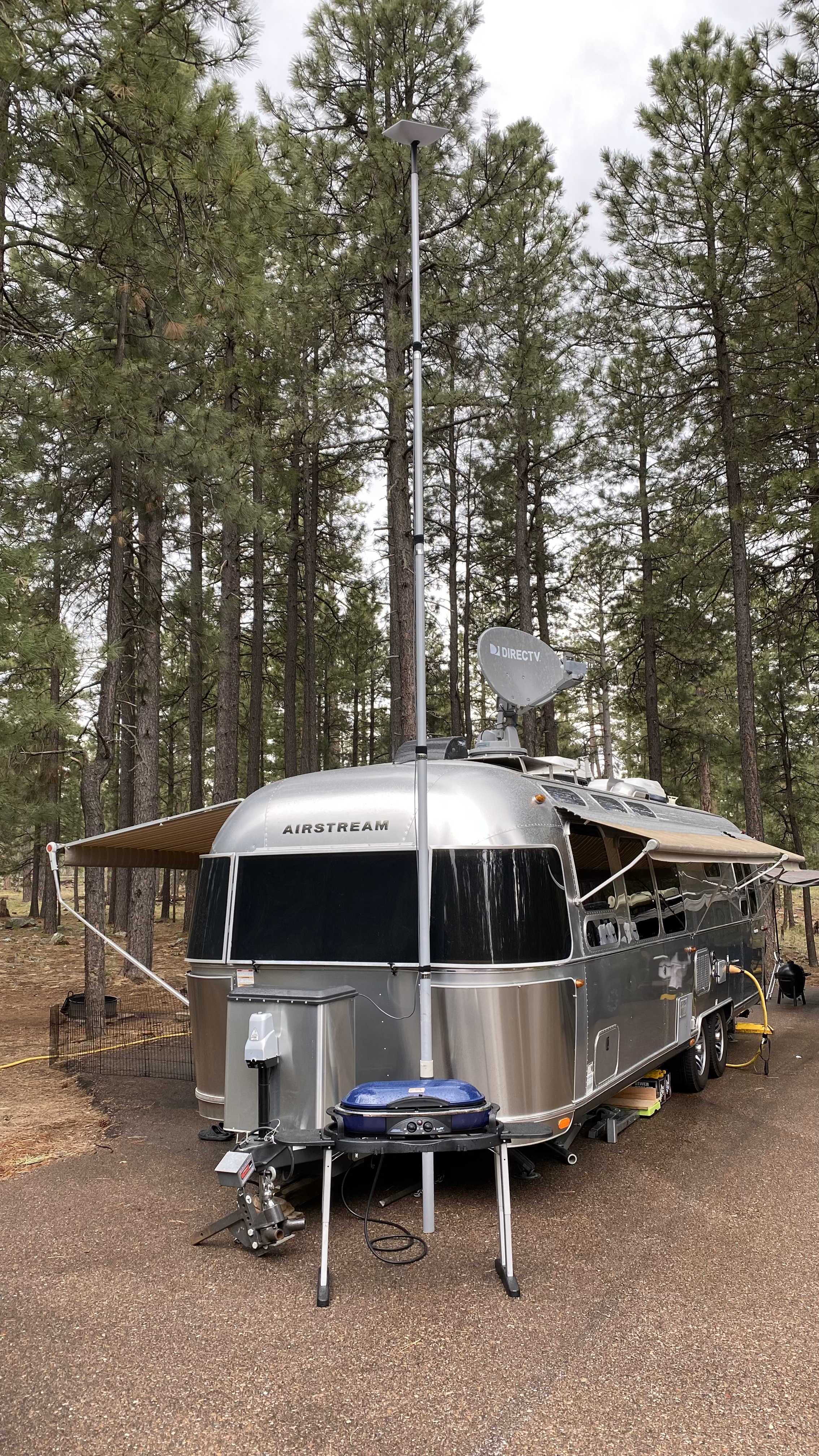
Our Starlink connection here has averaged 85Mbps down and 5Mbps up. For some reason our dish shows a bias to pointing north, which is fortunate because site 17 points north directly into a break in the trees. Starlink does not like obstructions but the system performed beautifully here.


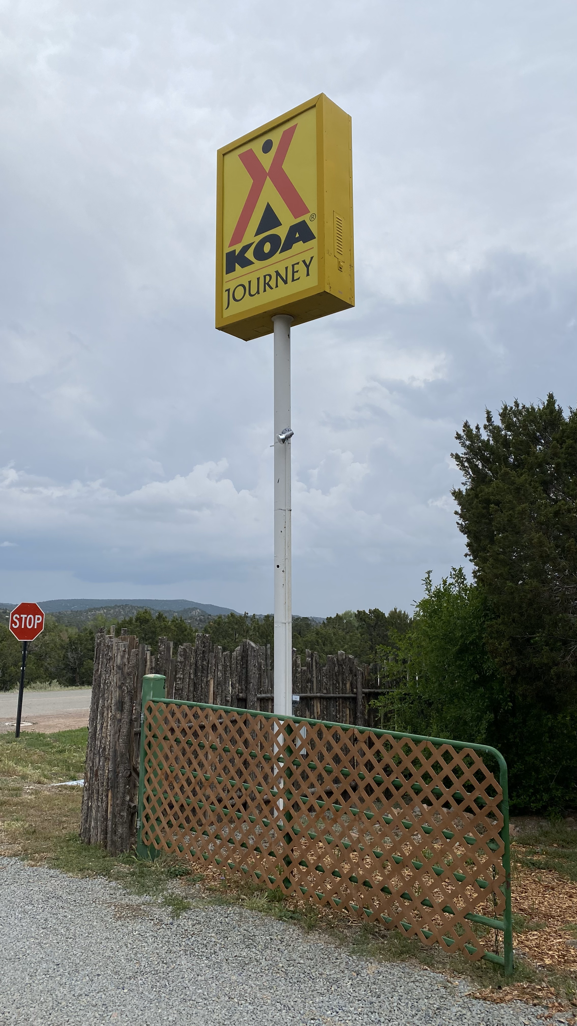
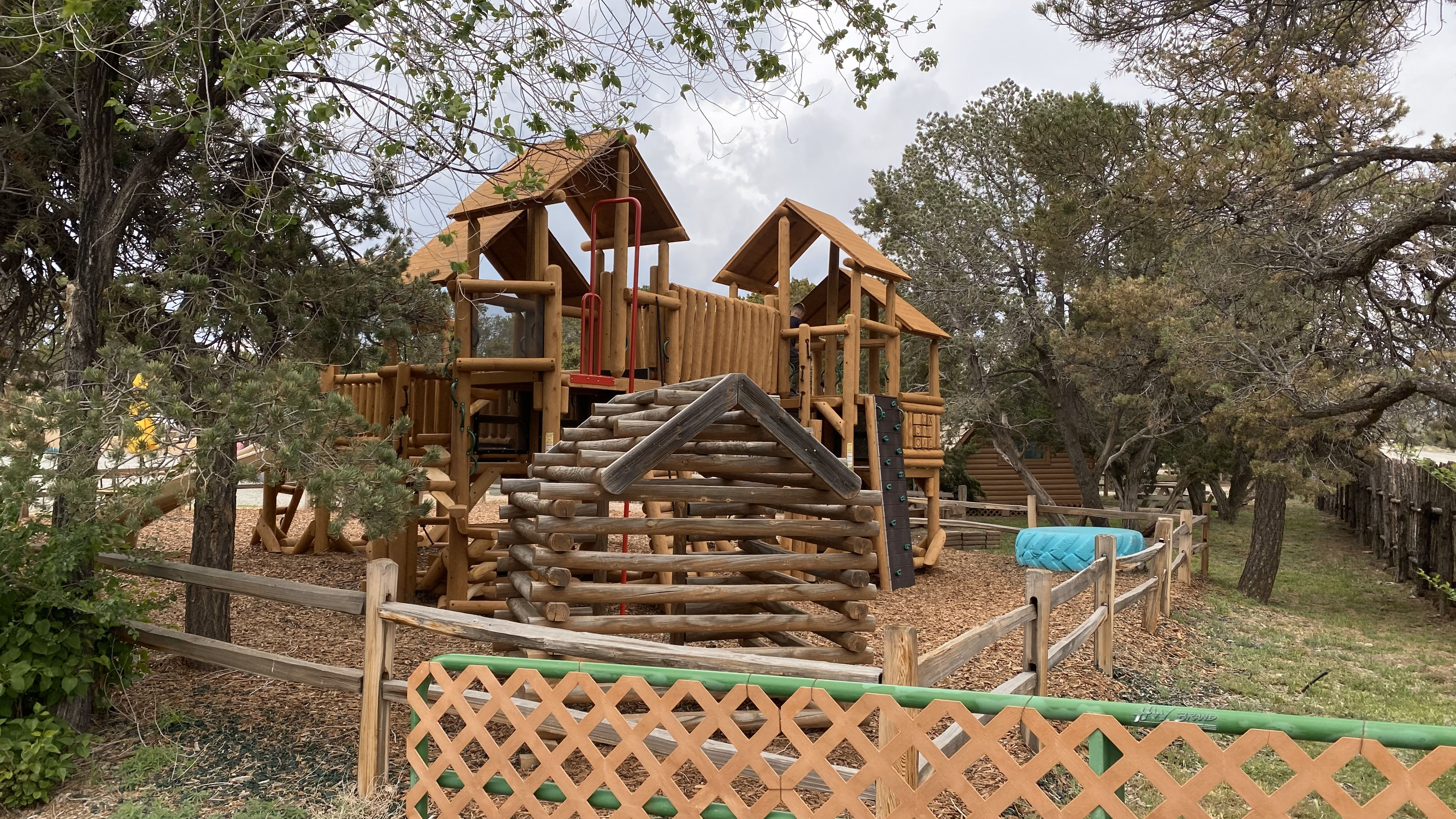
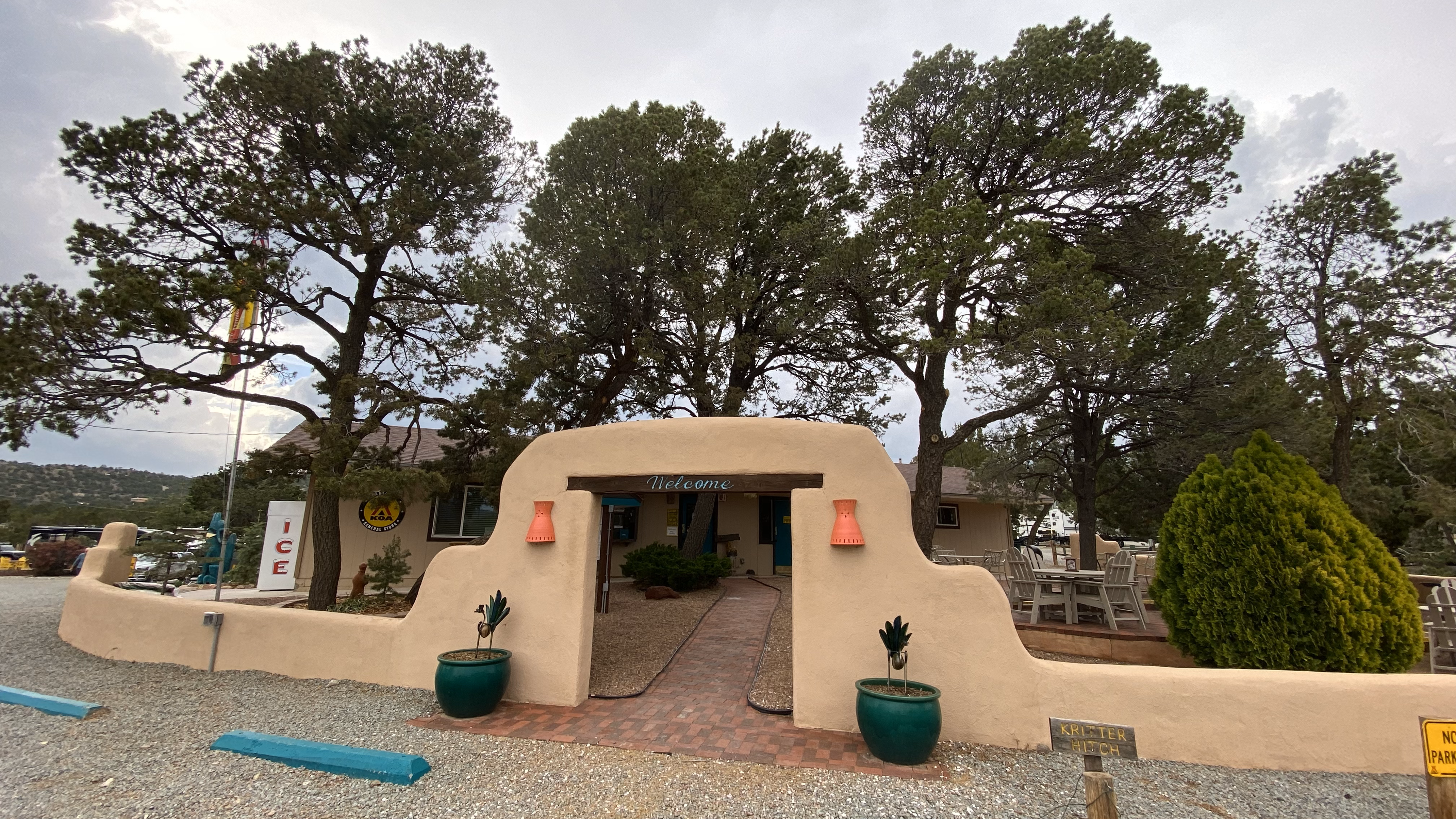
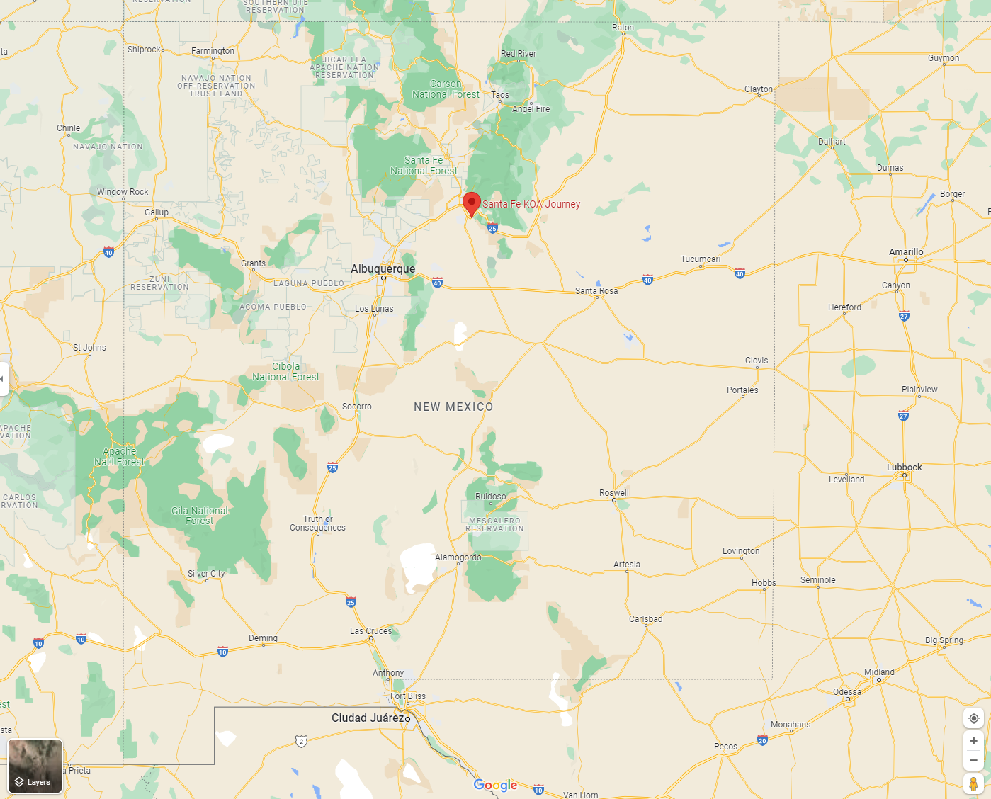
Santa Fe KOA Journey, Santa Fe New Mexico
The Santa Fe KOA Journey is either the best or second best KOA I’ve ever stayed at, maybe only behind the Filmore KOA Journey in Utah. The entire campground is populated with low Juniper making for a clear unobstructed view of the sky while still offering shade and that invigorating Juniper aroma. Bathrooms are clean, the staff is friendly and the full hookups are well maintained.
Santa Fe proper is mere minutes away offering access to the culture, cuisine, and ambiance of the Southwest. And as always, there’s a nice mountain biking network here. Starlink operated unobstructed, and was especially appreciated since this is a Verizon dead zone. We saw an average of 70Mbps down 13Mbps up.