Emily & Silent Partner
Evening, Peeps.
In our continuing series on places we’ve stayed in the Airstream, I am proud to introduce one of my favoritest places in the world, Crested Butte Colorado.

This post takes a slightly different format from the others, as we stayed in and around Crested Butte for so long it can’t be boiled down to a simple review.
Instead, settle in and enjoy a slow-roll through the “it” that makes this entire region so special.
Why Colorado
I lived in Colorado on and off for 15 years and ultimately got my degree at CU Boulder. After that I wandered off into the southwest to spread my wings, build my career and meet the love of my life. Maybe it’s because I lived in Colorado during my formative years, or maybe it’s because my parents took me on so many camping adventures to eat dirt and catch stuff on fire. Whatever the reason, Colorado stayed in my soul and I now it forms the core of my spiritual power source. Over the years I’ve always made my way back to visit, of course, but the Airstream gave us the chance to explore Colorado in more depth than I ever did when I lived there.
The Plan
After I bought the Airstream and secured the opportunity from my employer to travel full-time, my thoughts immediately turned to Colorado. Specifically, Crested Butte. Very crudely speaking, if you were to stick a pin in the middle of Colorado, that’s Crested Butte.
But why there? The reason is simple – Crested Butte and the surrounding area straddles the most iconic ranges in the Rocky Mountains called the Collegiate Peaks. This range forms a savage chain of “14ers” that literally materialize the term “rocky” mountains. Here you can travel to incredible altitudes, see some of the most brutal terrain in the state, soak up primal forests, camp next to lakes, rivers and streams and mingle with alpine critters.
And of course, you can do all these things mountain biking!
The plan, therefore, was to launch our full-time Airstream living from Phoenix, and then work our way north – quickly.
The Route
Leaving Phoenix we stayed briefly in Flagstaff, AZ:


Then Cortez, CO.

Then Silverton, CO.
And finally the Crested Butte area.
In & Around “CB”
We talked a lot about financial resources, and how much time to spend there and ultimately decided we wanted to spend an entire summer in the mountains. As a result we stayed in Gunnison, CO (which is ~1/2 hour south of Crested Butte) for a month, then two weeks near Lake Irwin (which is about ~1/2 hour west of Crested Butte) and finally six weeks in Crested Butte (aka “CB”) itself.
Colorful Colorado
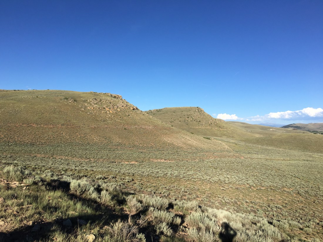
Colorado means “The Color Red” though some people choose to interpret it simply as “Colorful”. I subscribe to the latter and invite you to really take your time when looking at my photos. In particular, pay attention to the sky. Oh my gosh that blue!
Gunnison
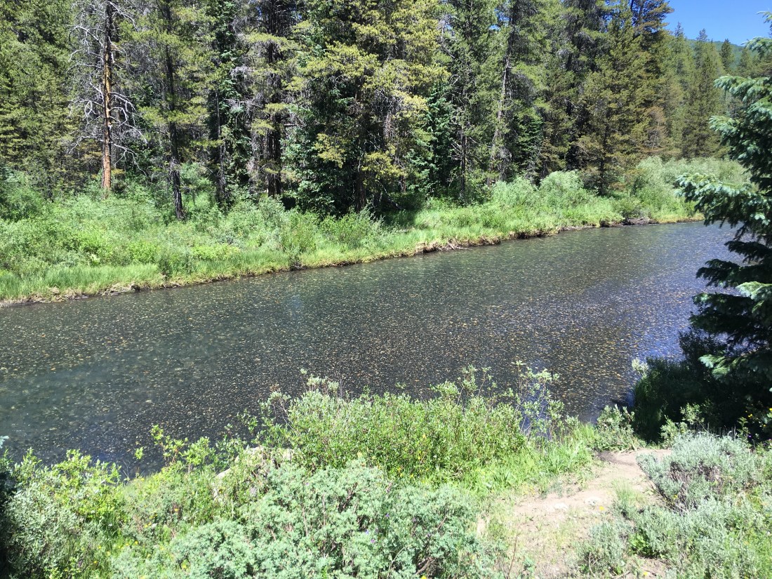
As we worked our way north from Silverton we passed through Montrose, CO staying one night at the Montrose KOA.

Then drove east past the azure waters of Blue Mesa Reservoir.

Then finally into Gunnison, a smallish college town about 1/2 hour south of Crested Butte. This lovely mountain community is home to Western State Colorado University and also has an airport which caters largely to vacationers. According to the internets, it has ~6000 residents.
We stayed north of town at the Tall Texan RV Park.

Camping here was comfortable, though when the cottonwoods shed it did cause a little trouble with satellite reception.
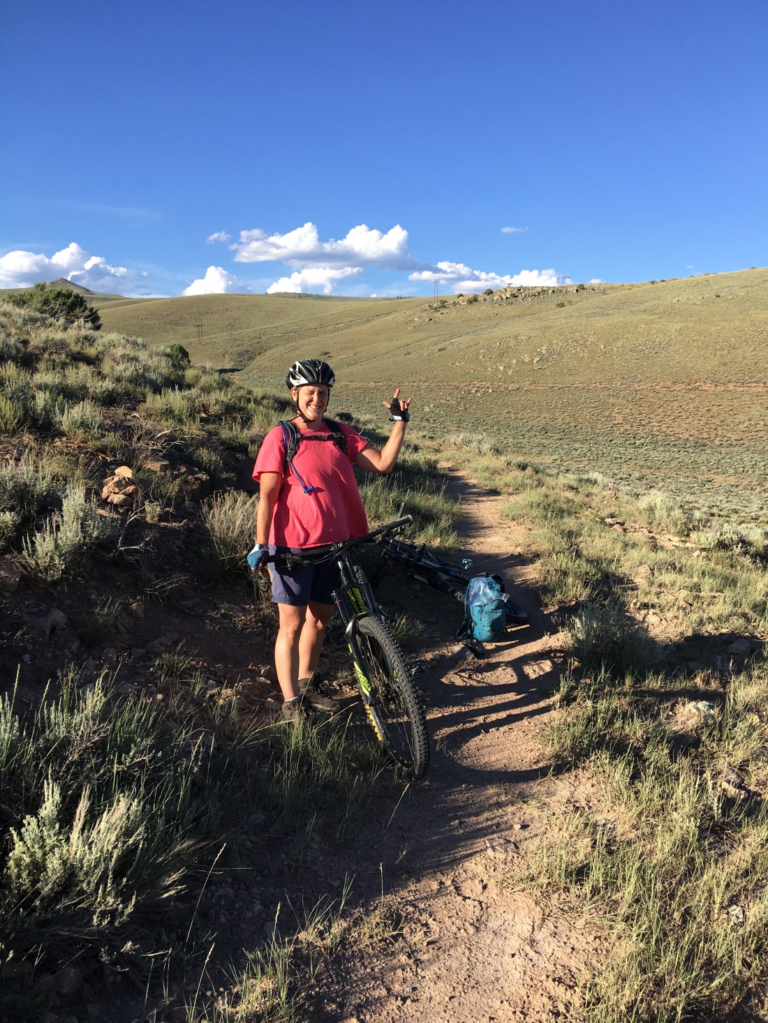
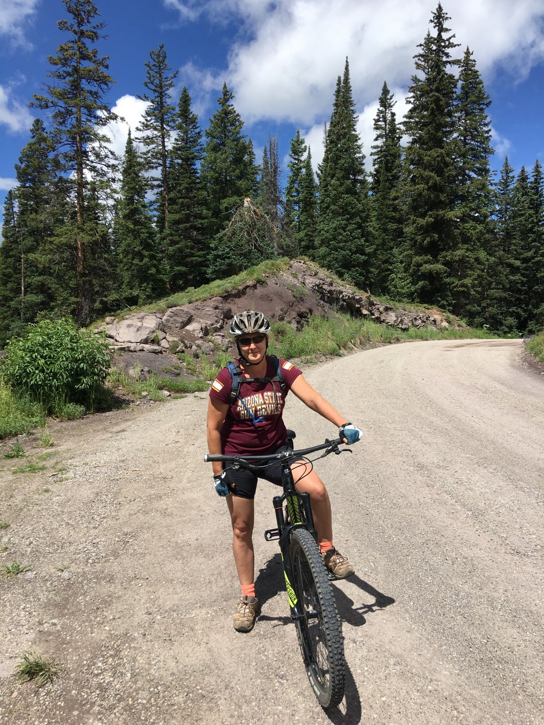
Mountain Biking
Gunnison has exceptional mountain biking, both north of town and south of town.
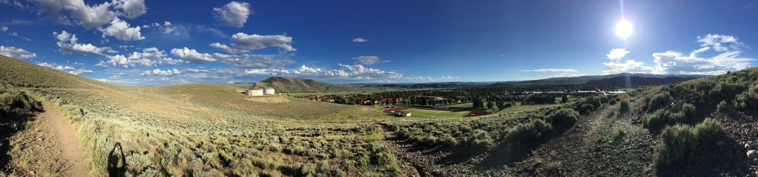
North Side
The north side of Gunnison has a tangled rats nest of trails that concentrate more or less around the university. I explored these trails extensively on my lunch-time rides and wound up forming my own loops much of the time.
My favorite trail though is Contour, so named as it follows the contours of the local geography with very little climbing.
Even though the trail is an easy green, riding here was zen-like, quiet, fulfilling, and wonderful.
South Side
The south side of Gunnison has an extensive trail system collectively referred to as Hartman Rocks. I’m entirely competent on technical terrain but I generally stick to technical blues and low-end blacks. At my age I really just don’t need a broken collar bone or shattered wrist.
That said, I immediately went out there and rode The Ridge, a black diamond, and then cut into part of the Hartman Rocks featured ride. I found the Lower Jack’s drop-in to be somewhat of a lung-buster and quite a high cost of admission just to get up there, and The Ridge was just a little more technical than I like so I dismounted plenty of times. This area is BLM land so it’s also shared with a lot of ATV enthusiasts and I was dodging some off-roaders on my way back.
The Altitude
Gunnison is over 7600′ (2347m) in elevation, that’s over a mile (2.3km)! At these altitudes flat-landers begin to appreciate the local advice – if you’re not habituated to the altitude plan for rides half as long as you normally would. The general wisdom suggests that it takes about six weeks to adjust to high altitude and that is about what we experienced.
The Cost of Groceries, OMFG!
One misfire on our trip arguably would be the cost of groceries. It’s no surprise in retrospect that groceries are absolutely lunatic expensive in Gunnison, given that it’s far from everything and all roads are twisty and mountainous. We learned, however, that expensive as things are in Gunnison, they’re positively bonkers in Crested Butte. That would be, of course, because Crested Butte is even more Rocky Mountainish, snuggled way up into a valley with essentially one way out.
We learned, therefore, even when we stayed in Crested Butte to make a bi-weekly migration down to Gunnison where our groceries ran us “only” triple what we were used to in Phoenix.
Surrounding Activities
The Gunnison area offers endless outdoor activities but one of our favorite weekenders was exploration. In particular we made several excursions north out of Gunnison, took a right in Almont and followed county road 742 to Taylor Park Reservoir. This drive is slow and winding and we wanted it that way.
We saw bighorn sheep on this drive though there are also purported to be mountain goats, bears, moose and mountain lions readily seen here too. There’s so much wildlife to see on this drive it’s punctuated with paved pull-offs to let you enjoy the critter ‘watchin.
Once at the reservoir we explored some of the 4WD trails on the north side of the lake and drove over to check out the Colorado Dream Ranch RV Park. The unbelievable Cottonwood Pass is also close by, though we did not drive it this time.
One of the other more amazing parts of Colorado is the ghost town of St. Elmo, which is on the east side of Tin Cup Pass. If you have the fortitude to drive this road (I do not) the west end of this road ends at the unincorporated community of Tincup.
Lake Irwin
After spending a month in Gunnison it was time to pull up stakes and move along to Lake Irwin Campground, Colorado. This campground is mostly reservation only on the federal portal, though there are a few first-come-first-served sites, which we were lucky enough to snag for almost two weeks.
It should be noted this is an incredibly busy campground so reservations are tough to get. There is an extensive amount of dispersed camping on county road 826 after the lake. While that area is easily 4WD accessible I would never attempt to pull the Airstream up there. We asked the host on a previous weekend what the best day was to snag a walk-up site and she said Thursdays – which turned out to be exactly right.
The campground is located west of Crested Butte deep in the craggy, intense middle-earth like Ruby Range. This range is part of the Maroon Formation which gives the mountains their characteristically red color.
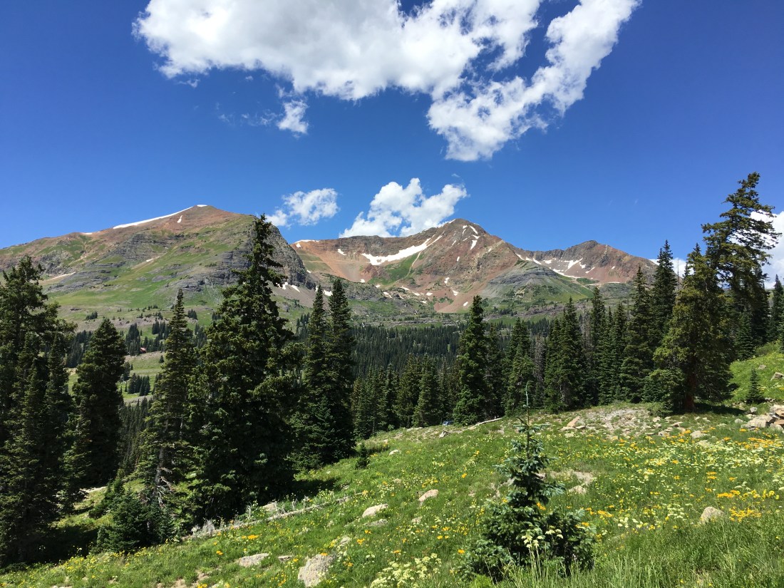
The Lake
Lake Irwin is a placid body of water brimming with fish and ideal for zenning, dog-walking, fishing and of course kayaking.

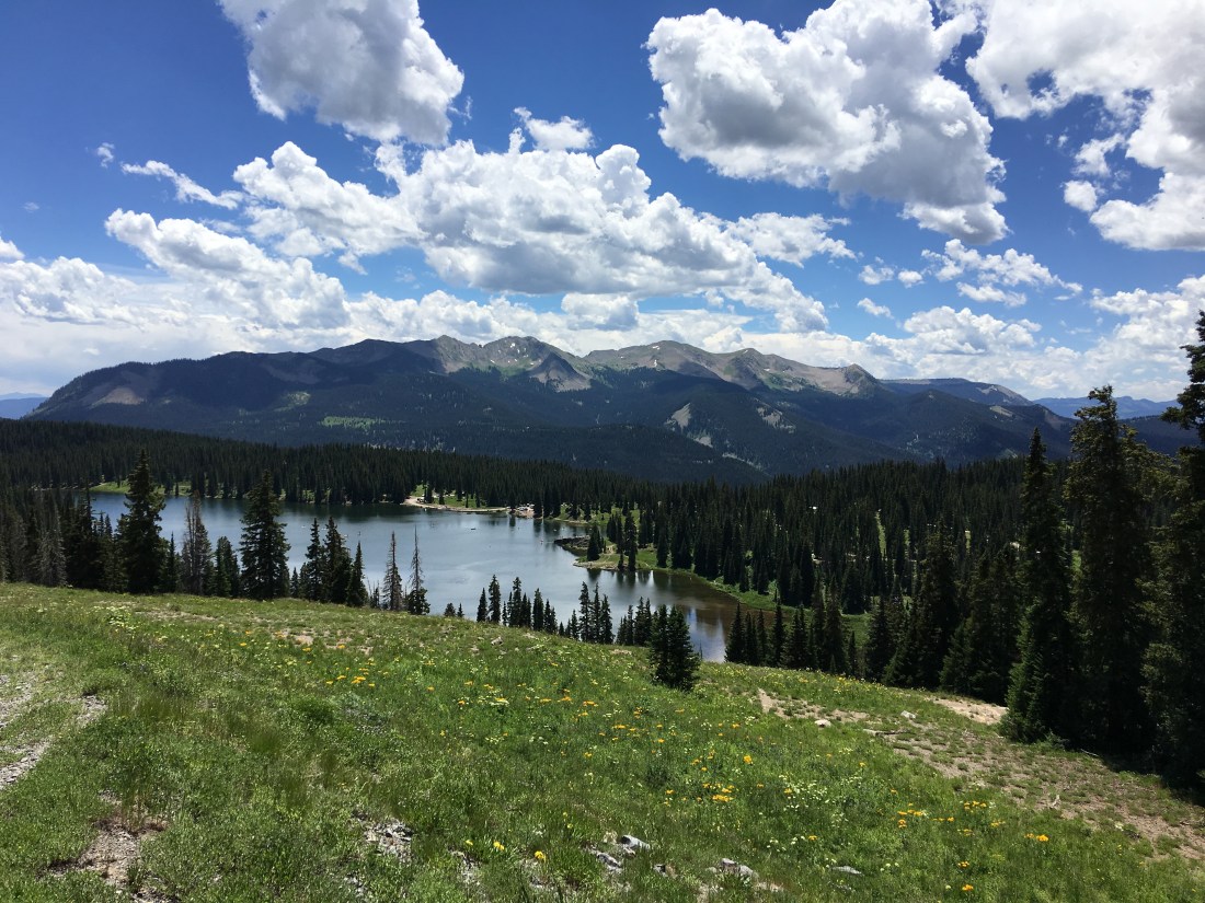
I rode up to the Irwin Lodge on my mountain bike for this incredible view.

Mountain Biking
Lake Irwin is the headwaters for some excellent mountain biking. Keeping in mind this lake is at 10,000ft (3108m) we planned for the extreme altitude but found by then we’d pretty much acclimated and didn’t have any trouble.
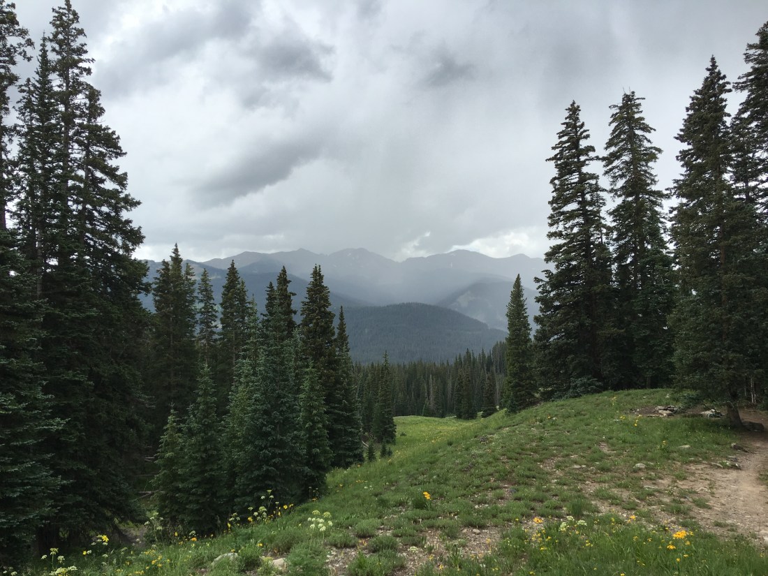
I would also point out the weather here is incredibly testy. It pays off to get out and do your activities before noon as the rains and hail usually move in by then.
Dyke Trail
The Dyke Trail departs directly from Lake Irwin (the trailhead is a tiny bit west on county road 826) and, I believe, earns its black diamond rating more from fitness than tech. The mountain biking season here is incredibly short so we found the trail was also muddy and filled with post-holes from horseback riders. Once you reach the east trailhead you can, if you have the fortitude (we did not), ride east on county road 12 and back to lake Irwin.
Kebler Pass
My partner and I made our own loop from Lake Irwin down the dirt county road 826 from the lake to county road 12, then rode west towards Kebler Pass.
We also caught some of the 4WD drive offshoots around Irwin Cemetery in a free-range lazy day of exploring.
Kebler Wagon Trail 606
While staying at Lake Irwin we also rode the Kebler Wagon Trail 606 beginning at the campground, again rolling down county road 826 from the lake and then left at county road 12. This isn’t an especially technical trail, and it follows road, but still fun.
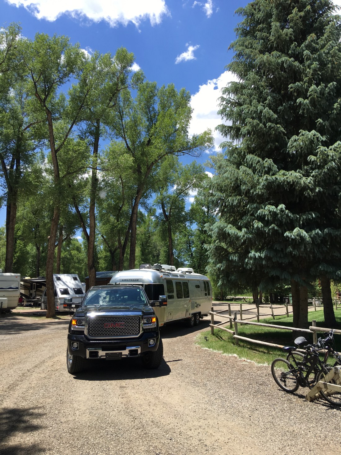
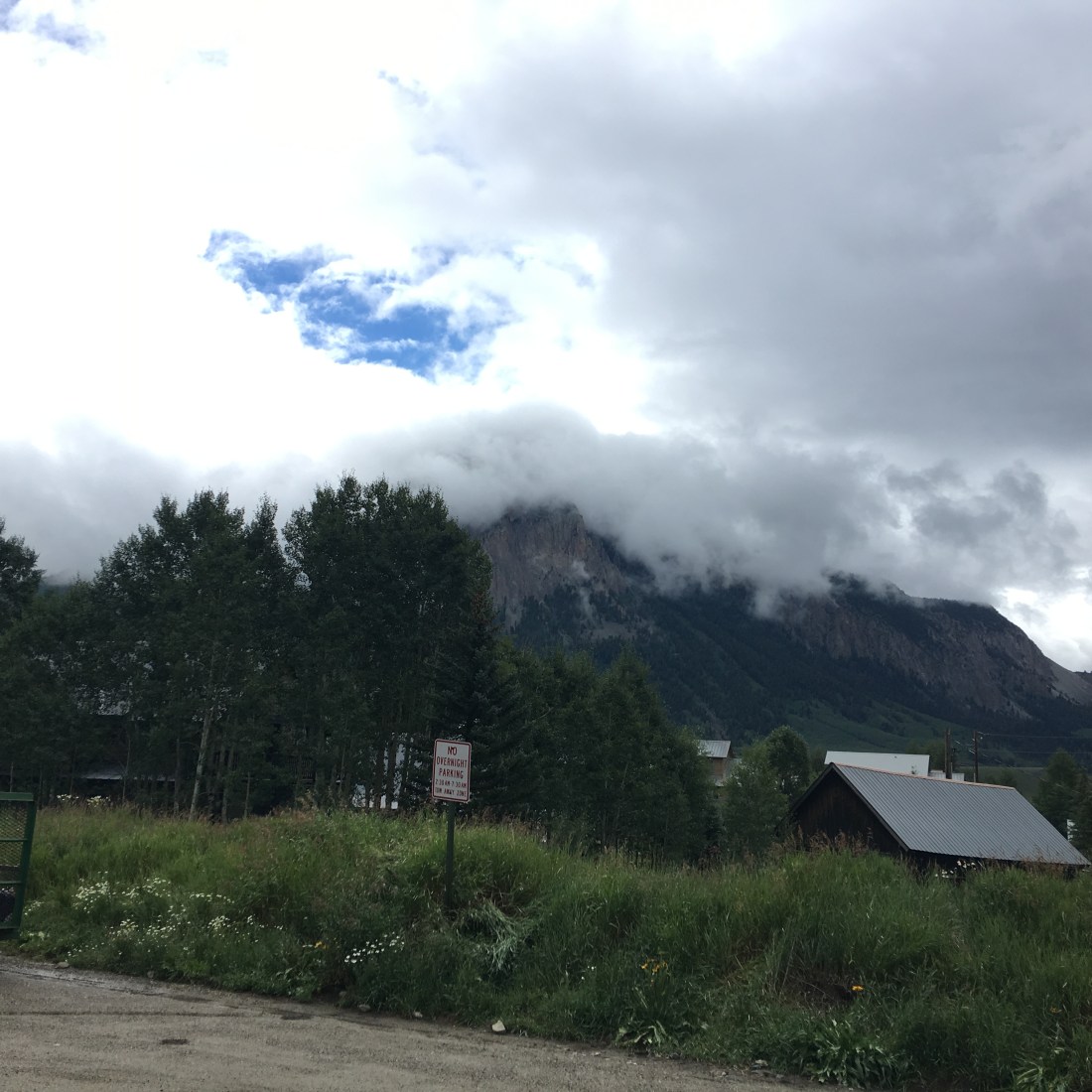
Crested Butte
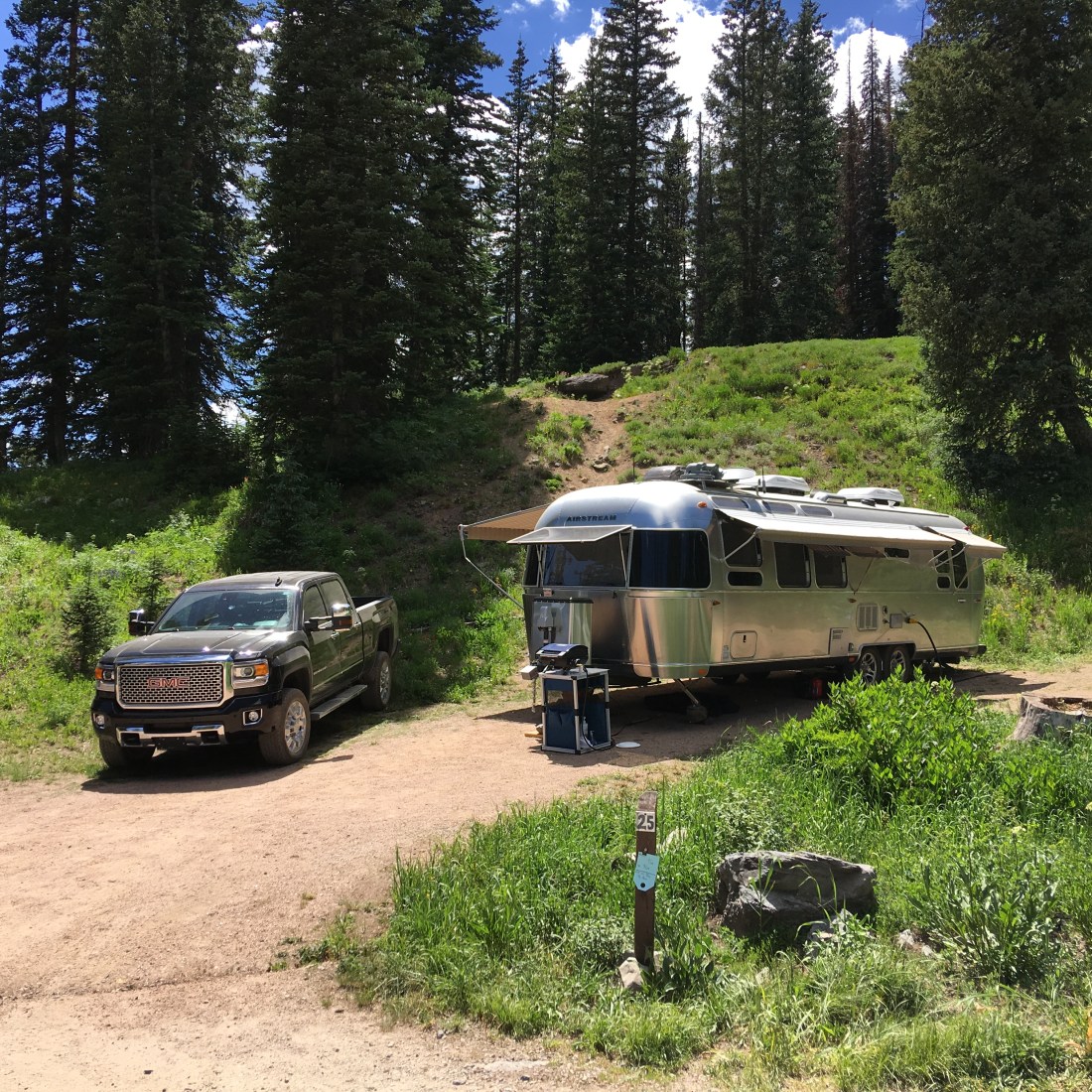
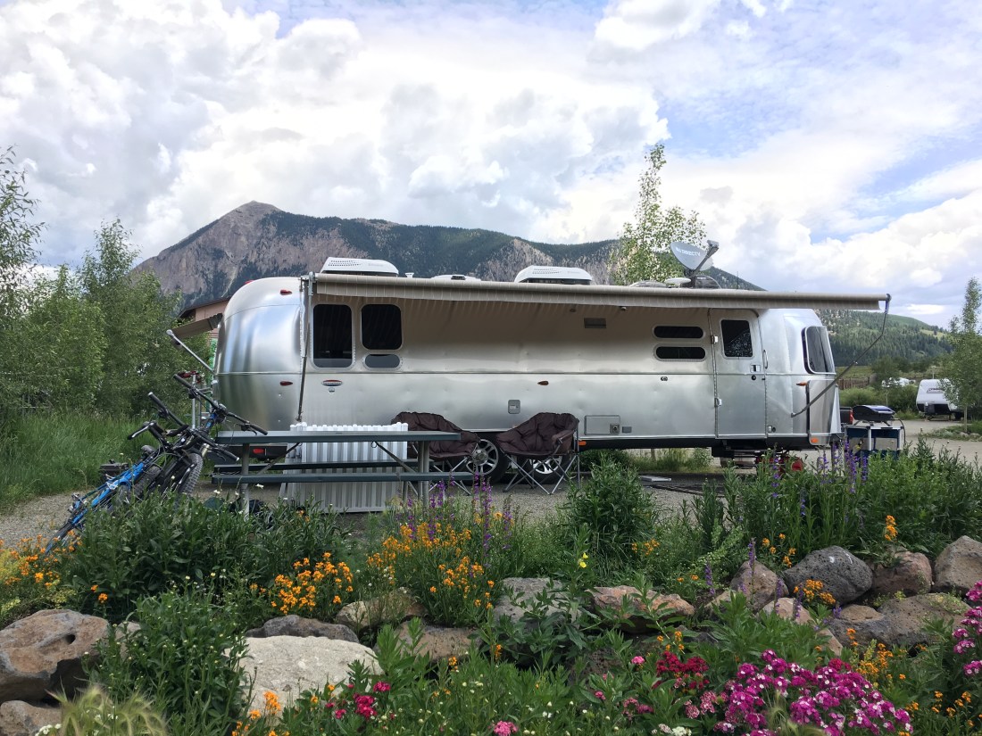
After two weeks at Lake Irwin it was time to move on to Crested Butte proper. We splurged on six weeks at the Crested Butte RV Resort. The owners were incredibly pleasant and offered us a discount for the extended stay. They also once ran a landscaping business and it shows, look at those flowers!
Also it would seem the city of Crested Butte was less than enthusiastic about the idea of an RV part so they didn’t cooperate much on the zoning. They allowed the park to be built, they allowed a bath house (which was glorious by the way), but they prohibited site sewer lines due to “proximity to the Slate River”.
We found this more or less astonishing, considering the Slate River runs directly behind the industrial park in which the RV resort is located. Nonetheless, this meant we had to tow once a week to a public dump station in town.
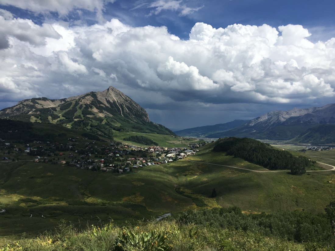
The Town
Crested Butte is (bleeping) awesome. If I was a millionaire I would live here no questions asked. It has the small town Colorado feel.


This is how the locals commute.

There are regular art fairs, music festivals, and artwork scattered around the city.


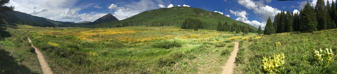
Mountain Biking
Mountain biking, mountain biking and more mountain biking. We biked our butts off here!
Airstream Trailhead
One of the most extraordinary aspects of our Airstreaming and mountain biking experience was “riding to the ride”. We made strategic choices on our entire cross-America trip to make sure we could always ride from the Airstream to our destination.
In Crested Butte our RV park was located in the Riverland Industrial Park, which is a little bit south of town. To get into town, and virtually every ride therefore, we always began with a northerly ride on New Deli Trail. This connector gave us a traffic-free interstate from the Airstream into the heart of Crested Butte, where we branched out on dozens of rides.
Upper Lower Loop
Beginning in the heart of Crested Butte, the Upper Lower Loop forms one leg of nearly the only easy going ride in Crested Butte. This portion of the trail hugs the mountains in a thin ribbon of single-track looking out across a valley.
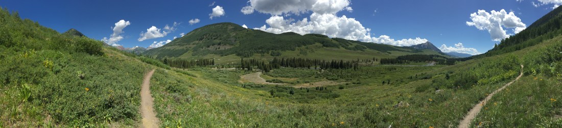
You lose exactly nothing in the majesty of the Rockies even though this trail is rated green, proving you don’t need a lung-buster to enjoy the trails here.

Lower Loop
The Lower Loop trail is the second half of the Upper Lower Loop. It runs along the Slate River and you can ride clockwise or counter. I did both to mix it up.
Evolution Bike Park
When it comes to mountain biking, I am a “eat your veggies and then desert” kind of girl. I like a tough climb then a rewarding downhill at the end.
Or….
You can saw screw it, eat desert and no vegetables and ride an entire day of insane heart-stopping gravity filled adventure at the Evolution Bike Park. The entrance fee was pricey but well worth it for the hours and hours of clamper cramps and smiles we had to surgically remove from our faces.


The park has too many trails to really list individually but suffices to say we rode about 6 hours (including lunch break) and we did all the greens and blues.
I highly recommend the experience.
Upper Upper Loop
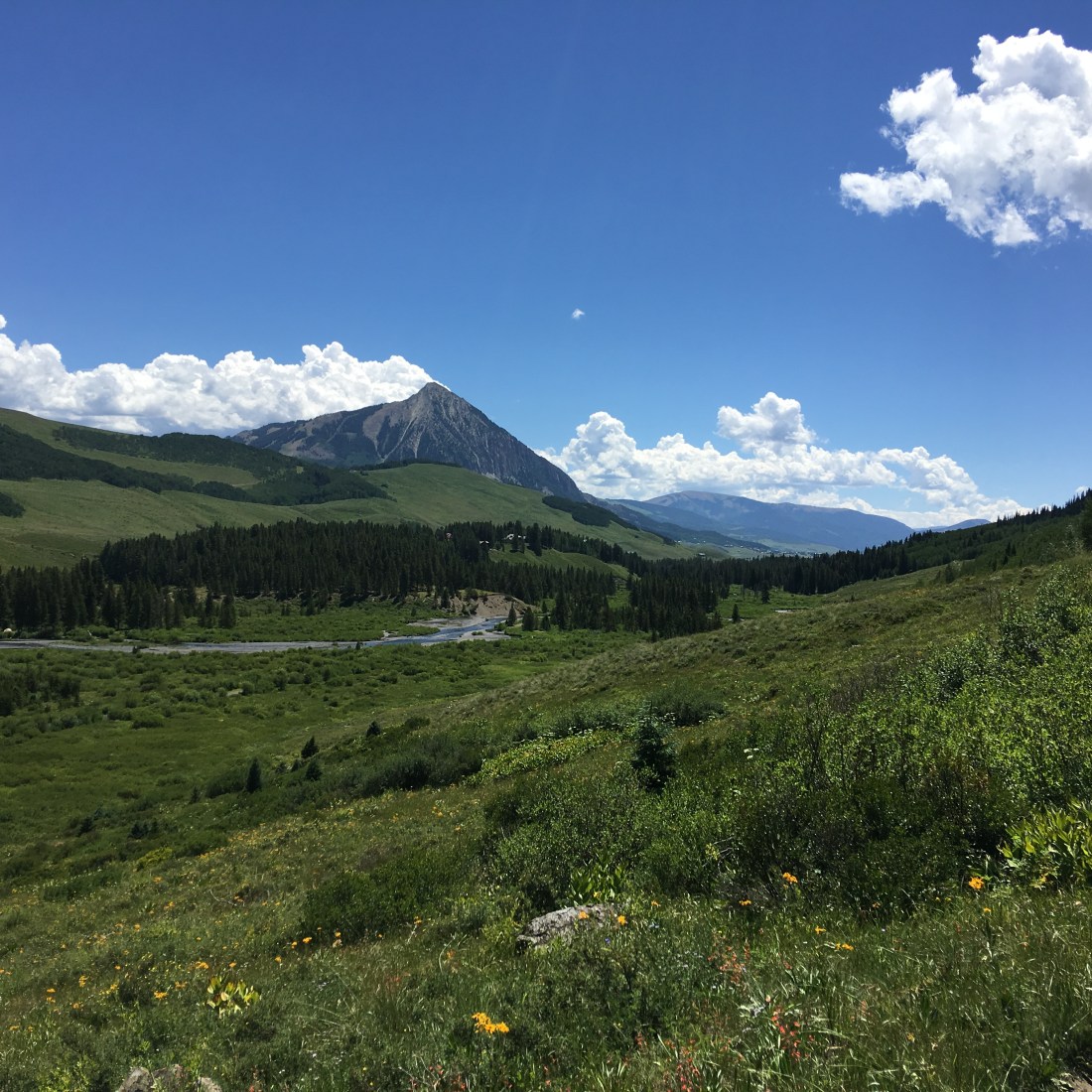
The Upper Upper Loop runs directly across the west face of Mt. Crested Butte offering breathtaking views of the granite face before you are enveloped by the forest. Taking Tony’s Trail to drop in you can even see people practicing their rock-climbing skills on nearby boulders that have clearly broken free from the face.
The Upper Upper Loop is a blue-black and indeed I found it to be fairly technical and heavily demanding on fitness. Sadly I dismounted a handful of times. Still I deeply enjoyed the thick forests of Aspen trees and joined up with the south part of Deer Creek Loop to get back to the Airstream.
Snodgrass
The Snodgrass trail is so named for the family owned land it crosses. Luckily at the time we were there it was open and dry. This trail has a massive price of admission fitness-wise and demands a huge lung-busting ride up to Mt. Crested Butte (the ski town just north of Crested Butte) then up grades in excess of 10%.
The reward however, is mind-boggling views of the city below, sweet-smelling Aspen and awesome downhills on the other side.

Lupine
The Lupine trail, so named for a local flower, offers the same lung-busting ride up to Mt. Crested Butte as Snodgrass but only a small heart-attack inducing climb after that. As this trail is somewhat in the same area as Snodgrass it too dives into Aspen groves and supplies a glorious descent on the other side.
Strand Hill
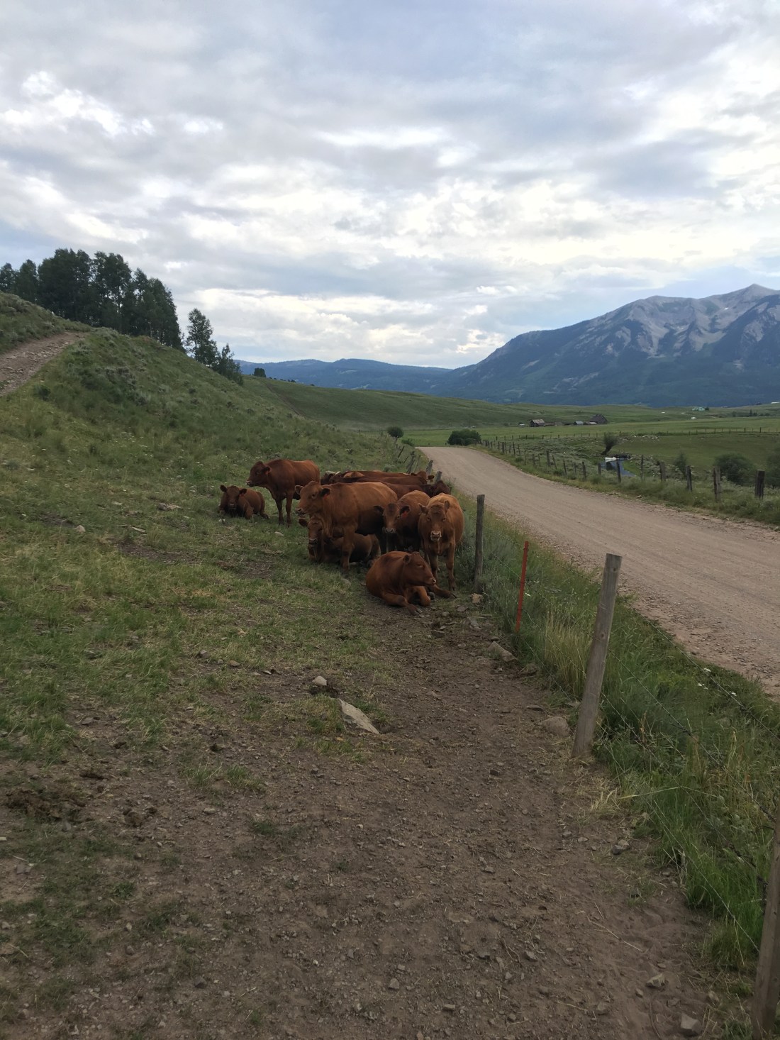
The Strand Hill trail was directly east of the Airstream on county road 738, about 4mi (6.4km). As with many other trails in this area the price of admission was intense – the climb starts with some four-legged observers.
But then turns into a sustained 10% climb for about 3mi (4.8km). The reward being an alpine meadow surrounded by Aspen groves.

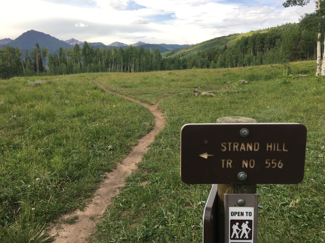
Once at the top Strand Hill offers an awesome sustained mildly technical descent and joins into the Canal trail. This portion of Canal is benign and makes for a nice wind-down but I discovered in a later ride upper Canal offered near death.
Brush Creek
The Brush Creek trail is also located on county road 738, though only in about 3mi (4.8km). Other than Lower Loop this is really the only non-chairlift assisted trail in the Crested Butte area I would describe as easy. The trail is remarkable owing to the fact it’s the only trail directly on the east side of Mt. Crested Butte. It makes for an easy out-and-back with the turn-around dead-ending at the East River.
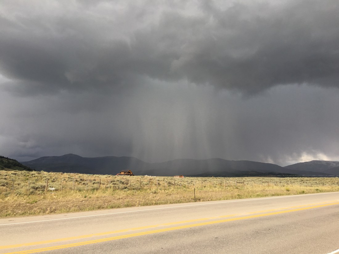
Rain Sucks
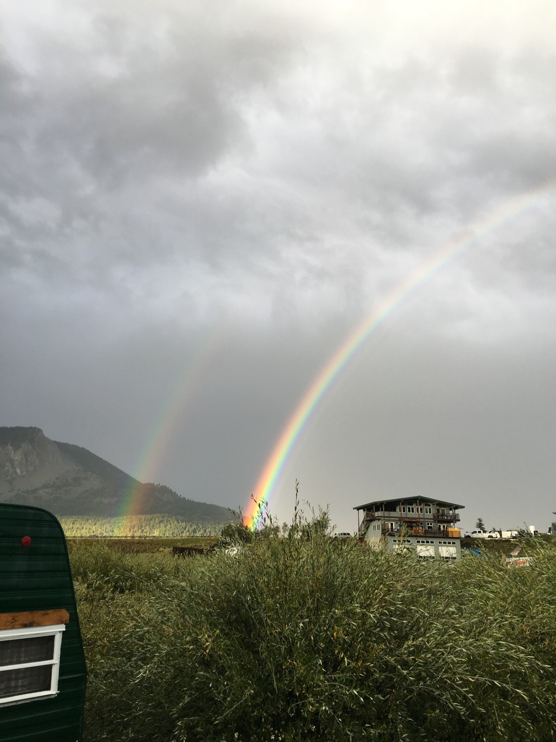
I mentioned earlier the weather in Crested Butte is unbelievably temperamental. The weather report was essentially worthless, I assume owing to the complex geology of the Rockies. We hit an unfortunate skid of about a week of heavy rain that drove me to depression at all the rides I was missing.


And in keeping with Colorado’s mantra, “If you don’t like the weather then just wait for 15 minutes” it freaking snowed, in August!

Farris Creek (one of those rides)
The Farris Creek trail is one of those rides you can look back on and see the things you did wrong. I’m still glad I rode it, but this trail is rated as black and that’s for a reason – it’s highly demanding in fitness and on the last third very very technical. I also made assumptions about the return leg of the trip, but we’ll get to that in a bit.
I set this ominous tone because it had been raining for days and I was near to chewing my own legs off when the weather finally broke.
People who know me would say I might not be the best at exercising patience (understatement). Instead of waiting a couple days for the trails to dry out I headed out the very next day, determined to ride Farris Creek before we left Crested Butte, or the Earth was struck by a meteor.
Though of course the outset was fine, I found on the far side of Strand Hill (which is close to Farris Creek) the trail was epically muddy and churned into a black soupy pudding by cattle. Not to be deterred I soldiered on at which point it began to rain. Again. As time went by the pudding-like trail got more pudding-like. My tires caked with mud and I walked/rode large segments of the final climb.
Now every mountain biker can empathize with me: Near the summit I stood there in a rain jacket, shivering, and wondering if I should turn around. Looking at the phone I could see I was half-way, or so I thought by distance. I could also see I should be on the “easy” part of the trail, the downhill. I decided it would be better to do the downhill rather than go back through the black-goo pond that alleged to be a trail.
While I didn’t die descending that last mile of Farris Creek, it left me rattled. The descent on the north side was intense, easily exceeding 14%. Mix in rain, mud and cold and it was an extremely dodgy way down, even for a very experienced technical rider with a very good rig. When I finally made it down I was muddy, wet, cold and annoyed at dismounting on the downhill, which I rarely do. I was also a bit surprised that I popped out on a forest road instead of dumping directly into the Canal trail, which is not what I was expecting on the map.
Reorienting myself I found that I needed to follow what I believe was Pearl Pass Road until I hooked back into the Canal trail. This entailed more climbing, which I wasn’t mentally prepared for, and then I finally met back up with the Canal trail.
Keep in mind while this is going down it’s raining, and the temperatures are not much above freezing.
So, back to the assumptions I mentioned at the beginning. I assumed that the Canal trail would be the mild-mannered kitten I had experienced when hooking into it from Strand Hill. Instead I find this trail crawls along the side of extreme mountain exposures with long certain-death drops into Brush Creek. To further enhance the fun I came to find that this trail had been washed over in a half dozen spots by landslides. Not a good situation to be in, alone, wet, cold and probably making risky decisions.
Ok, I am blogging so obviously I made it out alive. I very carefully picked my way along the Canal trail and finally decided it was too risky so I bailed back to the forest road and took it out. By the time I hooked back into county road 738 and rode home at least four hours had gone by, possibly more. My partner was near hysteria and I did get a good talking to.
Food
I should throw a couple shout-outs for the food in Crested Butte, which was excellent.
- Paradise Cafe. Awesome lunch and breakfasts and incredibly affordable for the locale.
- Gas Cafe One Stop. Yes, it’s a gas station. Best food ever after a mega-ride like Snodgrass or Lupine.
- Brick Oven Pizzeria & Pub. Awesome pizza, awesome beer, awesome people watching.
- Camp 4 Coffee. Blood-vessel bursting good coffee.
- Marchitelli’s Gourmet Noodle. Great Italian.
- Mountain Earth Whole Foods. Good local grocery store carrying natural products.
Crested Butte Mountain Bike Association
The Crested Butte Mountain Bike Association is responsible for the incredible number of trails in Crested Butte and their amazing condition. I dropped them some cash as my own way of saying thank you!
Laundry
Our RV park did not have laundry, owing to the Riverland Industrial park’s limited electrical capacity. We used the Crested Butte Lodge & Hostel, which has a laundromat next door. The hours weren’t great though, and they were expensive so if you can hump your laundry down to One Stop Wash & Laundry in Gunnison while you’re there on a grocery run anyway, then all the better.
Dump Station
I mentioned early on that Crested Butte RV Resort was not allowed by code to install sewer lines so the sites had city water and electric (some 30 amp, some 50 amp) but no sewer. As a result we used the publicly available Septic Dump Station located at the southeast corner of 800 Butte Avenue. The system operates on an honor system and for a small fee you can dump and fill with fresh water.
Also keep in mind when you exit you can simply continue east on Butte Ave and then take a right on 9th then right again on Teocalli Ave; not sure why so many drivers were intent on u-turning right there.
What Could Go Wrong
Considering we were only full-timing in the Airstream for four months by this time we encountered a few problems. We found out we had a pretty bad leak.
It was also sometime here we discovered that one of the Dometic A/C units had failed. Getting that fixed lead us to a six week layover in Denver while Windish RV got a replacement.
Thank god we had family in Denver, we were not prepared to incur the costs of a hotel for that long.
Parting Thoughts
By now you know, Colorado has “it”. Actually, I think “it” was born here. Go to Crested Butte if you have the means, stay a while, ride the rides and enjoy the people. I just can’t say anything better about this entire region.
Remember though, this is savage country. Bring cold-weather gear even in summer, do your rides with a buddy if you can, and if you are not acclimated to the altitude plan for half what you would normally do.
Cheers!


2 thoughts on “Airstreaming Crested Butte Colorado”